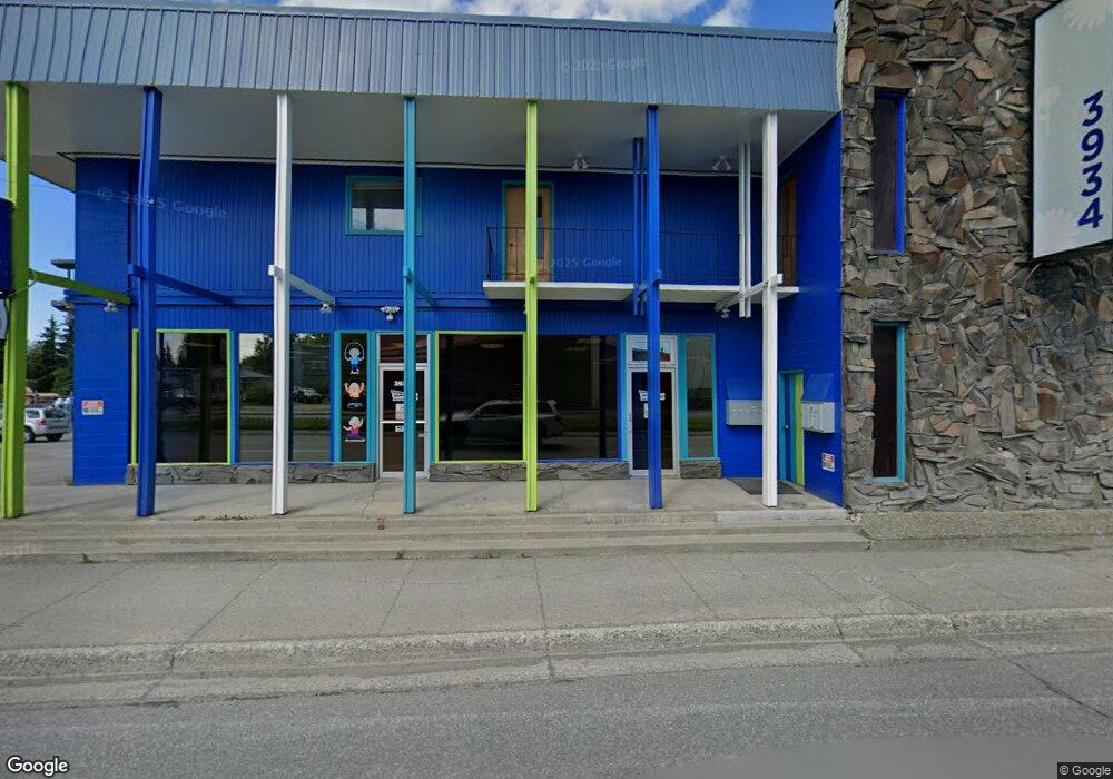
3934 Spenard Rd Anchorage, AK 99517
Spenard NeighborhoodEstimated Value: $1,812,628
--
Bed
--
Bath
10,410
Sq Ft
$174/Sq Ft
Est. Value
About This Home
This home is located at 3934 Spenard Rd, Anchorage, AK 99517 and is currently estimated at $1,812,628, approximately $174 per square foot. 3934 Spenard Rd is a home located in Anchorage Municipality with nearby schools including Northwood Elementary School, Romig Middle School, and West High School.
Ownership History
Date
Name
Owned For
Owner Type
Purchase Details
Closed on
Dec 21, 2007
Sold by
Norene Larry G and Norene Tyler M
Bought by
Dube Karl and Dube Adrian M
Current Estimated Value
Home Financials for this Owner
Home Financials are based on the most recent Mortgage that was taken out on this home.
Original Mortgage
$425,000
Interest Rate
6.15%
Mortgage Type
Commercial
Create a Home Valuation Report for This Property
The Home Valuation Report is an in-depth analysis detailing your home's value as well as a comparison with similar homes in the area
Home Values in the Area
Average Home Value in this Area
Purchase History
| Date | Buyer | Sale Price | Title Company |
|---|---|---|---|
| Dube Karl | -- | None Available |
Source: Public Records
Mortgage History
| Date | Status | Borrower | Loan Amount |
|---|---|---|---|
| Closed | Dube Karl | $425,000 |
Source: Public Records
Tax History Compared to Growth
Tax History
| Year | Tax Paid | Tax Assessment Tax Assessment Total Assessment is a certain percentage of the fair market value that is determined by local assessors to be the total taxable value of land and additions on the property. | Land | Improvement |
|---|---|---|---|---|
| 2025 | $10,825 | $687,500 | $151,200 | $536,300 |
| 2024 | $10,825 | $670,500 | $151,200 | $519,300 |
| 2023 | $10,901 | $640,100 | $145,400 | $494,700 |
| 2022 | $10,549 | $626,400 | $137,900 | $488,500 |
| 2021 | $10,895 | $604,600 | $135,100 | $469,500 |
| 2020 | $11,135 | $655,000 | $132,500 | $522,500 |
| 2019 | $10,892 | $665,800 | $129,900 | $535,900 |
| 2018 | $10,617 | $647,400 | $129,900 | $517,500 |
| 2017 | $10,135 | $647,200 | $129,900 | $517,300 |
| 2016 | $9,340 | $627,400 | $129,900 | $497,500 |
| 2015 | $9,340 | $616,700 | $129,900 | $486,800 |
| 2014 | $9,340 | $598,500 | $129,900 | $468,600 |
Source: Public Records
Map
Nearby Homes
- 2105 Mckinley Ave
- NHN Northwood Dr
- 5000 Northwood Dr
- 4000 Iowa Dr
- 1808 Cleveland Ave
- 1806 Cleveland Ave
- 3605 Oregon Dr Unit 7
- 3605 Oregon Dr Unit 4
- 3913 Barbara Dr
- 3409 Oregon Dr
- 2040 Wenmatt Cir
- 3406 Wyoming Dr
- 3507 Greenland Dr
- 2511 Abbey Ln
- 2502 W 34th Ave
- 3731 Mccain Loop
- 3729 Mccain Loop
- 2702 Mcrae Rd
- 4302 Forrest Rd
- 3311 Greenland Dr Unit B
- 3936 Spenard Rd
- 3940 Spenard Rd
- 3933 Spenard Rd
- 3944 Spenard Rd
- 2206 Cleveland Ave
- 3810 Carolina Dr
- 2300 Mcrae Rd
- 3808 Taft Dr
- 2202 Cleveland Ave
- 3805 Carolina Dr
- 3902 Carolina Dr
- 3806 Taft Dr Unit 5
- 3806 Taft Dr Unit 6
- 3806 Taft Dr
- 3807 Carolina Dr
- 2301 Mckinley Ave
- 2209 Mckinley Ave
- 2303 Mckinley Ave
- 2305 Mcrae Rd Unit 3
- 2305 Mcrae Rd Unit 1