3935 Hillsdale Dr Unit 220 Auburn Hills, MI 48326
Estimated Value: $492,000 - $512,822
4
Beds
3
Baths
2,102
Sq Ft
$238/Sq Ft
Est. Value
About This Home
This home is located at 3935 Hillsdale Dr Unit 220, Auburn Hills, MI 48326 and is currently estimated at $500,206, approximately $237 per square foot. 3935 Hillsdale Dr Unit 220 is a home located in Oakland County with nearby schools including Rogers Elementary, Pontiac Middle School, and Pontiac High School.
Ownership History
Date
Name
Owned For
Owner Type
Purchase Details
Closed on
Jun 5, 2018
Sold by
Ducharne Peter D
Bought by
Ducharme Peter D and Peter D Ducharme Living Trust
Current Estimated Value
Purchase Details
Closed on
Oct 19, 2005
Sold by
Ducharme Peter D and Carol Ducharme G
Bought by
Ducharme Peter D and Ducharme G Carol
Purchase Details
Closed on
Aug 13, 2003
Sold by
Heritage Of Auburn Hills Llc
Bought by
Ducharme Peter D and Ducharme G Carol
Purchase Details
Closed on
Oct 30, 2002
Sold by
Heritage Of Auburn Hills Llc
Bought by
Fleischmann Nancy E and Nancy E Fleischmann Living Trust
Create a Home Valuation Report for This Property
The Home Valuation Report is an in-depth analysis detailing your home's value as well as a comparison with similar homes in the area
Home Values in the Area
Average Home Value in this Area
Purchase History
| Date | Buyer | Sale Price | Title Company |
|---|---|---|---|
| Ducharme Peter D | -- | None Available | |
| Ducharme Peter D | -- | None Available | |
| Ducharme Peter D | $316,943 | -- | |
| Fleischmann Nancy E | $316,026 | -- |
Source: Public Records
Tax History Compared to Growth
Tax History
| Year | Tax Paid | Tax Assessment Tax Assessment Total Assessment is a certain percentage of the fair market value that is determined by local assessors to be the total taxable value of land and additions on the property. | Land | Improvement |
|---|---|---|---|---|
| 2024 | $2,279 | $218,810 | $0 | $0 |
| 2023 | $2,175 | $192,120 | $0 | $0 |
| 2022 | $3,840 | $175,620 | $0 | $0 |
| 2021 | $3,778 | $172,270 | $0 | $0 |
| 2020 | $2,047 | $168,850 | $0 | $0 |
| 2019 | $3,467 | $166,620 | $0 | $0 |
| 2018 | $3,391 | $172,910 | $0 | $0 |
| 2017 | $3,251 | $168,630 | $0 | $0 |
| 2016 | $3,229 | $160,270 | $0 | $0 |
| 2015 | -- | $143,580 | $0 | $0 |
| 2014 | -- | $117,840 | $0 | $0 |
| 2011 | -- | $98,530 | $0 | $0 |
Source: Public Records
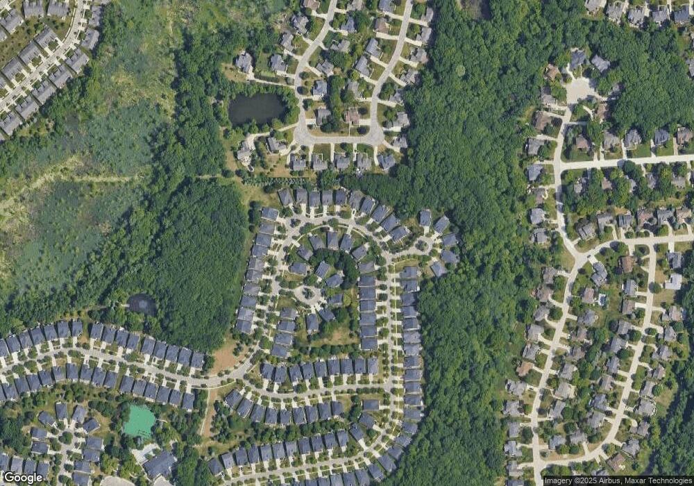
Map
Nearby Homes
- 3640 Camden Ct
- 3634 Camden Ct
- 4035 Hillsdale Dr Unit 275
- 3534 Riverside Dr Unit 141
- 3674 Merriweather Ln
- 3633 Thornwood Dr
- 3879 Teakwood Ln
- 3780 Bald Mountain Rd
- 1906 Independence Ct
- 3273 Salem Dr
- 3095 Bridgewater Rd Unit 30
- 3057 Bridgewater Rd
- 5700 Rolling Hills Dr
- 423 Silvervale Dr
- 1609 Kilburn Rd N
- 2935 Woodford Cir
- 3111 Ramzi Ln
- 3639 Heatherwood Ct
- 2700 Mohawk Ln
- 5826 Murfield Dr
- 3941 Hillsdale Dr Unit 219
- 3931 Hillsdale Dr Unit 221
- 3919 Hillsdale Dr Unit 222
- 3945 Hillsdale Dr Unit 218
- 3959 Streamwood Ct Unit 215
- 3934 Hillsdale Dr Unit Bldg-Unit
- 3934 Hillsdale Dr Unit 189
- 3961 Streamwood Ct
- 3917 Hillsdale Dr Unit 223
- 3938 Hillsdale Dr Unit 191
- 3936 Hillsdale Dr Unit 190
- 3936 Hillsdale Dr Unit Bldg-Unit190
- 3936 Hillsdale Dr
- 3940 Hillsdale Dr Unit 192
- 3942 Hillsdale Dr Unit 193
- 3915 Hillsdale Dr Unit 224
- 3953 Hillsdale Dr Unit 217
- 3932 Hillsdale Dr
- 3944 Hillsdale Dr Unit 194
- 3963 Streamwood Ct Unit 213