3935 Mallard Rd Ropesville, TX 79358
Estimated Value: $430,450
--
Bed
2
Baths
2,457
Sq Ft
$175/Sq Ft
Est. Value
About This Home
This home is located at 3935 Mallard Rd, Ropesville, TX 79358 and is currently priced at $430,450, approximately $175 per square foot. 3935 Mallard Rd is a home located in Hockley County with nearby schools including Ropes School.
Ownership History
Date
Name
Owned For
Owner Type
Purchase Details
Closed on
Jun 24, 2017
Sold by
Lester Sonny and Lester Christi L
Bought by
Lester Sonny and Lester Christi L
Current Estimated Value
Home Financials for this Owner
Home Financials are based on the most recent Mortgage that was taken out on this home.
Original Mortgage
$164,949
Outstanding Balance
$123,345
Interest Rate
4.37%
Mortgage Type
FHA
Purchase Details
Closed on
May 15, 2008
Sold by
Rockinj Properties Llp
Bought by
Lester Sonny
Home Financials for this Owner
Home Financials are based on the most recent Mortgage that was taken out on this home.
Original Mortgage
$13,000
Interest Rate
5.89%
Create a Home Valuation Report for This Property
The Home Valuation Report is an in-depth analysis detailing your home's value as well as a comparison with similar homes in the area
Home Values in the Area
Average Home Value in this Area
Purchase History
| Date | Buyer | Sale Price | Title Company |
|---|---|---|---|
| Lester Sonny | -- | None Available | |
| Lester Sonny | -- | -- |
Source: Public Records
Mortgage History
| Date | Status | Borrower | Loan Amount |
|---|---|---|---|
| Open | Lester Sonny | $164,949 | |
| Closed | Lester Sonny | $13,000 |
Source: Public Records
Tax History Compared to Growth
Tax History
| Year | Tax Paid | Tax Assessment Tax Assessment Total Assessment is a certain percentage of the fair market value that is determined by local assessors to be the total taxable value of land and additions on the property. | Land | Improvement |
|---|---|---|---|---|
| 2025 | $7,187 | $386,900 | $15,090 | $371,810 |
| 2024 | $5,172 | $366,940 | $14,380 | $352,560 |
| 2023 | $6,454 | $350,540 | $12,500 | $338,040 |
| 2022 | $7,107 | $336,040 | $12,500 | $323,540 |
| 2021 | $7,279 | $300,020 | $12,500 | $287,520 |
| 2020 | $6,844 | $300,020 | $12,500 | $287,520 |
| 2019 | $7,174 | $300,020 | $12,500 | $287,520 |
| 2018 | $7,032 | $294,030 | $12,500 | $281,530 |
| 2017 | $6,959 | $286,780 | $12,500 | $274,280 |
| 2016 | $6,717 | $276,790 | $12,500 | $264,290 |
| 2015 | -- | $268,780 | $12,500 | $256,280 |
| 2014 | -- | $258,780 | $12,500 | $246,280 |
Source: Public Records
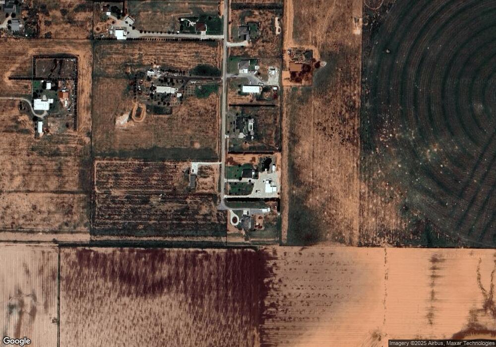
Map
Nearby Homes
- 0 Steer Rd
- 0
- 0 MacAw Road Lot 22
- 0 MacAw Road Lot 24
- 6418 Rockin T Rd
- 0 Starling Circle Lot 20 Unit 202562601
- 0 Starling Circle Lot 19 Unit 202562600
- 0 Starling Circle Lot 18 Unit 202562599
- 0 Starling Circle Lot 17 Unit 202562598
- 0 Starling Circle Lot 16 Unit 202562596
- 6438 Colton Ave
- 3968 Evan St
- 6434 Colton Ave
- 6439 Colton Ave
- 3960 Koby St
- 3965 Koby St
- 6430 Colton Ave
- 6968 Koby St
- 3973 Koby St
- 3987 Koby St
- 3943 Mallard Rd
- 3929 Mallard Rd
- 3923 Mallard Rd
- 0 Mallard
- 3924 Mallard Rd
- 3936 Mallard Rd
- 3920 Mallard Rd
- 3910 Mallard Rd
- 3943 Lark Rd
- 3903 Mallard Rd
- 3917 Lark Rd
- 0 Foster Rd Unit 9950574
- 0 Foster Rd Unit 9950539
- 0 Foster Rd Unit 9950540
- 0 Foster Rd Unit 9946820
- 0 Foster Rd Unit 9946826
- 0 Foster Rd Unit 9946828
- 0 Foster Rd Unit 9946832
- 0 Foster Rd Unit 9946822
- 0 Foster Rd Unit 9946827