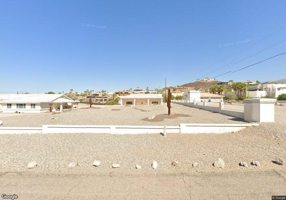
3935 Sloop Dr Lake Havasu City, AZ 86406
Estimated Value: $500,000 - $1,342,000
--
Bed
1
Bath
8,085
Sq Ft
$104/Sq Ft
Est. Value
About This Home
This home is located at 3935 Sloop Dr, Lake Havasu City, AZ 86406 and is currently estimated at $842,728, approximately $104 per square foot. 3935 Sloop Dr is a home located in Mohave County with nearby schools including Jamaica Elementary School, Thunderbolt Middle School, and Lake Havasu High School.
Ownership History
Date
Name
Owned For
Owner Type
Purchase Details
Closed on
Aug 7, 2024
Sold by
Johnst Johnston D and Johnst Henrietta
Bought by
D Dennis Johnston And Henrietta M Johnston Tr and Johnston
Current Estimated Value
Purchase Details
Closed on
Oct 31, 2003
Sold by
Johnston D Dennis and Johnston Henrietta M
Bought by
Johnston D Dennis and Johnston Henrietta M
Purchase Details
Closed on
Oct 15, 1999
Sold by
Penezic Ljubomir and Penezic Lieselotte
Bought by
Johnston D Dennis and Johnston Henrietta M
Create a Home Valuation Report for This Property
The Home Valuation Report is an in-depth analysis detailing your home's value as well as a comparison with similar homes in the area
Home Values in the Area
Average Home Value in this Area
Purchase History
| Date | Buyer | Sale Price | Title Company |
|---|---|---|---|
| D Dennis Johnston And Henrietta M Johnston Tr | -- | Pioneer Title Agency | |
| Johnston D Dennis | -- | -- | |
| Johnston D Dennis | $22,000 | First American Title |
Source: Public Records
Tax History Compared to Growth
Tax History
| Year | Tax Paid | Tax Assessment Tax Assessment Total Assessment is a certain percentage of the fair market value that is determined by local assessors to be the total taxable value of land and additions on the property. | Land | Improvement |
|---|---|---|---|---|
| 2026 | -- | -- | -- | -- |
| 2025 | $2,370 | $89,306 | $0 | $0 |
| 2024 | $2,370 | $97,008 | $0 | $0 |
| 2023 | $2,370 | $73,474 | $0 | $0 |
| 2022 | $2,397 | $53,065 | $0 | $0 |
| 2021 | $3,031 | $51,615 | $0 | $0 |
| 2019 | $3,144 | $48,159 | $0 | $0 |
| 2018 | $3,177 | $45,725 | $0 | $0 |
| 2017 | $3,263 | $46,975 | $0 | $0 |
| 2016 | $3,065 | $39,408 | $0 | $0 |
| 2015 | $3,080 | $34,768 | $0 | $0 |
Source: Public Records
Map
Nearby Homes
- 4019 Black Hill Dr
- 4051 Northstar Dr
- 3883 Sloop Dr
- 3956 Cherry Tree Blvd
- 3873 Packard Place
- 4014 Cherry Tree Blvd
- 3937 Comet Dr
- 3856 Mission Dr N
- 3828 Cherry Tree Blvd
- 4050 Cherry Tree Blvd
- 3812 Yonder Dr
- 3852 Solar Dr
- 4019 Bluegrass Dr
- 4021 Tierra Vista Dr
- 4094 Cherry Tree Place
- 361 Mcculloch Blvd S
- 386 Mcculloch Blvd S
- 3751 Mission Dr S
- 3808 Whaler Dr
- 3830 Bluegrass Dr