Estimated Value: $117,000 - $159,000
3
Beds
1
Bath
1,812
Sq Ft
$72/Sq Ft
Est. Value
About This Home
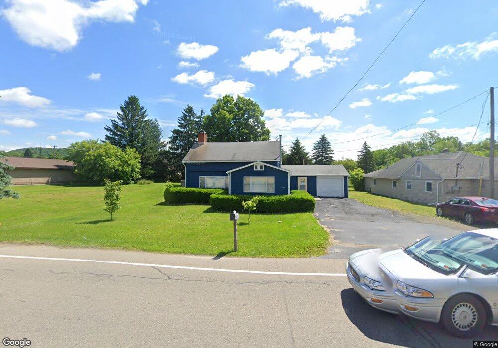
This home is located at 3936 State Route 19, Scio, NY 14880 and is currently estimated at $131,213, approximately $72 per square foot. 3936 State Route 19 is a home located in Allegany County with nearby schools including Scio Central School and Immaculate Conception School.
Ownership History
Date
Name
Owned For
Owner Type
Purchase Details
Closed on
Jun 18, 2025
Sold by
Kienenberger Maurice
Bought by
Greene Kylie
Current Estimated Value
Home Financials for this Owner
Home Financials are based on the most recent Mortgage that was taken out on this home.
Original Mortgage
$23,000
Outstanding Balance
$22,941
Interest Rate
6.81%
Mortgage Type
New Conventional
Estimated Equity
$108,272
Purchase Details
Closed on
Apr 1, 2023
Sold by
Sciotti Donald P and Sciotti Kathy
Bought by
Kienenberger Maurice and Kienenberger Cindy
Purchase Details
Closed on
Jun 18, 1998
Sold by
Greene Nancy J
Bought by
Sciotti Donald P and Sciotti Kathy G
Create a Home Valuation Report for This Property
The Home Valuation Report is an in-depth analysis detailing your home's value as well as a comparison with similar homes in the area
Purchase History
| Date | Buyer | Sale Price | Title Company |
|---|---|---|---|
| Greene Kylie | $125,000 | -- | |
| Kienenberger Maurice | $99,000 | None Available | |
| Sciotti Donald P | $45,000 | -- | |
| Sciotti Donald P | $45,000 | -- |
Source: Public Records
Mortgage History
| Date | Status | Borrower | Loan Amount |
|---|---|---|---|
| Open | Greene Kylie | $23,000 |
Source: Public Records
Tax History
| Year | Tax Paid | Tax Assessment Tax Assessment Total Assessment is a certain percentage of the fair market value that is determined by local assessors to be the total taxable value of land and additions on the property. | Land | Improvement |
|---|---|---|---|---|
| 2024 | $2,884 | $62,500 | $7,400 | $55,100 |
| 2023 | $2,654 | $59,600 | $4,500 | $55,100 |
| 2022 | $2,577 | $59,600 | $4,500 | $55,100 |
| 2021 | $2,696 | $59,600 | $4,500 | $55,100 |
| 2020 | $1,482 | $55,900 | $5,200 | $50,700 |
| 2019 | -- | $55,900 | $5,200 | $50,700 |
| 2018 | $2,055 | $55,900 | $5,200 | $50,700 |
| 2017 | $2,034 | $55,900 | $5,200 | $50,700 |
| 2016 | $2,071 | $55,900 | $5,200 | $50,700 |
| 2015 | -- | $55,900 | $5,200 | $50,700 |
| 2014 | -- | $45,000 | $2,500 | $42,500 |
Source: Public Records
Map
Nearby Homes
- 3934 New York 19 Unit 3932
- 0 Ruttin Rd Rd Unit R1608664
- 3963 Main St
- 4010 Main St
- 3319 Riverside Dr
- 4837 Ingraham Rd
- 0 Ingraham Rd
- 3656 Putt Brook Rd
- 3656 Putt-Brook
- 70 Chestnut St
- 2881 Sheridan Ave
- 39 Grover St
- 20 Grover St
- 2860 Miller Rd
- 2834 Miller Rd
- 4607 Waugh Brook Rd
- 334 Madison St
- 119 Jefferson St
- 112 Jefferson St
- 155 N Brooklyn Ave
- 3942 State Route 19
- 3932 Main St
- 3947 Main St
- 3953 Washington St
- 0 Knight Creek Unit 204426
- 4393 River St
- 3957 Washington St
- 2088 2090 Brimmer Brook Rd
- 3912 State Route 19
- 3908 Main St
- 3969 Washington St
- 3908 State Route 19
- 3972 State Route 19
- 3972 State Route 19
- 4406 River St
- 3975 Washington St
- 4413 River St
- 4412 River
- 3983 Main St
- 3894 State Route 19
Your Personal Tour Guide
Ask me questions while you tour the home.