3938 Captain Molly Cir Unit AIN Doylestown, PA 18902
Plumstead NeighborhoodEstimated Value: $316,000 - $333,000
2
Beds
2
Baths
1,056
Sq Ft
$307/Sq Ft
Est. Value
About This Home
This home is located at 3938 Captain Molly Cir Unit AIN, Doylestown, PA 18902 and is currently estimated at $323,840, approximately $306 per square foot. 3938 Captain Molly Cir Unit AIN is a home located in Bucks County with nearby schools including Groveland Elementary School, Tohickon Middle School, and Central Bucks High School-West.
Ownership History
Date
Name
Owned For
Owner Type
Purchase Details
Closed on
Dec 4, 1997
Sold by
Wolfson Robert W
Bought by
Wolfson Robert W and Wolfson Diana R
Current Estimated Value
Purchase Details
Closed on
Nov 25, 1996
Sold by
Patriots Ridge Ltd Partnership
Bought by
Wolfson Robert W
Home Financials for this Owner
Home Financials are based on the most recent Mortgage that was taken out on this home.
Original Mortgage
$88,300
Interest Rate
7.83%
Create a Home Valuation Report for This Property
The Home Valuation Report is an in-depth analysis detailing your home's value as well as a comparison with similar homes in the area
Home Values in the Area
Average Home Value in this Area
Purchase History
| Date | Buyer | Sale Price | Title Company |
|---|---|---|---|
| Wolfson Robert W | -- | -- | |
| Wolfson Robert W | $92,990 | -- |
Source: Public Records
Mortgage History
| Date | Status | Borrower | Loan Amount |
|---|---|---|---|
| Previous Owner | Wolfson Robert W | $88,300 |
Source: Public Records
Tax History Compared to Growth
Tax History
| Year | Tax Paid | Tax Assessment Tax Assessment Total Assessment is a certain percentage of the fair market value that is determined by local assessors to be the total taxable value of land and additions on the property. | Land | Improvement |
|---|---|---|---|---|
| 2025 | $3,239 | $18,640 | -- | $18,640 |
| 2024 | $3,239 | $18,640 | $0 | $18,640 |
| 2023 | $3,136 | $18,640 | $0 | $18,640 |
| 2022 | $3,101 | $18,640 | $0 | $18,640 |
| 2021 | $3,066 | $18,640 | $0 | $18,640 |
| 2020 | $3,066 | $18,640 | $0 | $18,640 |
| 2019 | $3,047 | $18,640 | $0 | $18,640 |
| 2018 | $3,047 | $18,640 | $0 | $18,640 |
| 2017 | $3,006 | $18,640 | $0 | $18,640 |
| 2016 | $3,006 | $18,640 | $0 | $18,640 |
| 2015 | -- | $18,640 | $0 | $18,640 |
| 2014 | -- | $18,640 | $0 | $18,640 |
Source: Public Records
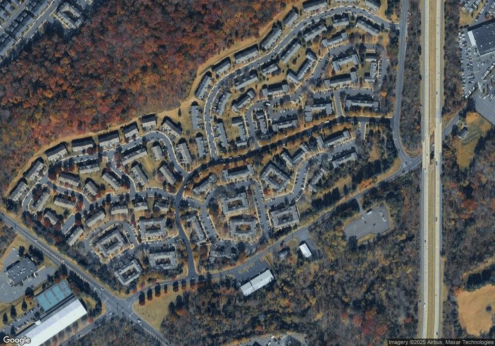
Map
Nearby Homes
- 3765 William Daves Rd
- 3723 William Daves Rd
- 4748 Bishop Cir
- 3838 Jacob Stout Rd
- 3711 Jacob Stout Rd Unit 5
- 3600 Jacob Stout Rd Unit 3
- 114 Blackfriars Cir
- 100 Bishops Gate Ln Unit 67
- 194 Victoria Ct Unit 143
- 301 Windy Run Rd
- 3923 Ferry Rd
- Madison Plan at Clover Hill Crossing
- Rittenhouse Plan at Clover Hill Crossing
- Harrison Plan at Clover Hill Crossing
- Chapel Hill Plan at Clover Hill Crossing
- Georgetown Plan at Clover Hill Crossing
- Fenimore Plan at Clover Hill Crossing
- 90 Chapman Ave
- 4263 Kleinot Dr
- 4317 Kleinot Dr
- 3938 Captain Molly Cir Unit 164
- 3936 Captain Molly Cir Unit 163
- 3940 Captain Molly Cir Unit 165
- 3934 Captain Molly Cir Unit AIN
- 3934 Captain Molly Cir Unit 162
- 3944 Captain Molly Cir Unit 167
- 3944 Captain Molly Cir Unit AIN
- 3932 Captain Molly Cir Unit 161
- 3930 Captain Molly Cir Unit AIN
- 3930 Captain Molly Cir Unit 160
- 3928 Captain Molly Cir Unit 159
- 3926 Captain Molly Cir Unit AIN
- 3926 Captain Molly Cir Unit 158
- 5001 Rebecca Fell Dr Unit 168
- 5003 Rebecca Fell Dr Unit 169
- 5005 Rebecca Fell Dr Unit 170
- 3922 Captain Molly Cir Unit 156
- 3922 Captain Molly Cir Unit AIN
- 3924 Captain Molly Cir Unit 157
- 3920 Captain Molly Cir Unit AIN