3938 Newhouse Rd Ostrander, OH 43061
Scioto NeighborhoodEstimated Value: $446,058 - $489,000
3
Beds
2
Baths
1,838
Sq Ft
$258/Sq Ft
Est. Value
About This Home
This home is located at 3938 Newhouse Rd, Ostrander, OH 43061 and is currently estimated at $474,515, approximately $258 per square foot. 3938 Newhouse Rd is a home located in Delaware County with nearby schools including Buckeye Valley High School.
Ownership History
Date
Name
Owned For
Owner Type
Purchase Details
Closed on
Jul 18, 2014
Sold by
Young Chrisotpher R and Young Sharon L
Bought by
Zechiel Richard A and Zechiel Beth E
Current Estimated Value
Home Financials for this Owner
Home Financials are based on the most recent Mortgage that was taken out on this home.
Original Mortgage
$207,920
Outstanding Balance
$158,610
Interest Rate
4.2%
Mortgage Type
New Conventional
Estimated Equity
$315,905
Create a Home Valuation Report for This Property
The Home Valuation Report is an in-depth analysis detailing your home's value as well as a comparison with similar homes in the area
Home Values in the Area
Average Home Value in this Area
Purchase History
| Date | Buyer | Sale Price | Title Company |
|---|---|---|---|
| Zechiel Richard A | $259,900 | Northwest Title Family Of Co |
Source: Public Records
Mortgage History
| Date | Status | Borrower | Loan Amount |
|---|---|---|---|
| Open | Zechiel Richard A | $207,920 |
Source: Public Records
Tax History Compared to Growth
Tax History
| Year | Tax Paid | Tax Assessment Tax Assessment Total Assessment is a certain percentage of the fair market value that is determined by local assessors to be the total taxable value of land and additions on the property. | Land | Improvement |
|---|---|---|---|---|
| 2024 | $4,154 | $125,760 | $19,430 | $106,330 |
| 2023 | $4,154 | $125,760 | $19,430 | $106,330 |
| 2022 | $3,379 | $91,110 | $13,620 | $77,490 |
| 2021 | $3,286 | $91,110 | $13,620 | $77,490 |
| 2020 | $3,305 | $91,110 | $13,620 | $77,490 |
| 2019 | $3,169 | $79,670 | $10,470 | $69,200 |
| 2018 | $3,227 | $79,670 | $10,470 | $69,200 |
| 2017 | $2,975 | $75,540 | $8,790 | $66,750 |
| 2016 | $2,875 | $75,540 | $8,790 | $66,750 |
| 2015 | $3,035 | $75,540 | $8,790 | $66,750 |
| 2014 | $2,932 | $75,540 | $8,790 | $66,750 |
| 2013 | $2,975 | $73,580 | $8,790 | $64,790 |
Source: Public Records
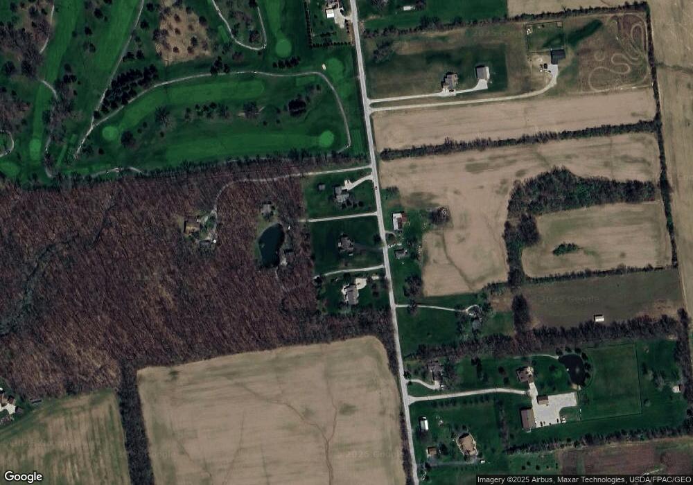
Map
Nearby Homes
- 311 Blue Ridge Ct
- 0 E High St Unit Tract 1 225034753
- 0 E High St Unit Tract 4 225034758
- 0 E High St Unit Tract 3 225034757
- 101 S Main St
- 188 Huston St
- 3880 Fry Rd
- 3480 Ostrander Rd
- 0 Dean Rd Unit 225032132
- 0 Dean Rd Unit 225032131
- 4910 State Route 257 S
- 0 Us-42 Tract 4
- 0 Us-42 Tract 3
- 5229 Bean Oller Rd
- 10156 Marysville Rd
- 1131 Ohio 257
- 3841 S Section Line Rd
- 0 Carr Rd Unit 225016840
- 5586 Taylor Rd
- 6185 Dublin Rd
- 3890 Newhouse Rd
- 3978 Newhouse Rd
- 3957 Newhouse Rd
- 3910 Newhouse Rd
- 3993 Newhouse Rd
- 3878 Newhouse Rd
- 4041 Newhouse Rd
- 3793 Newhouse Rd
- 4059 Newhouse Rd
- 4105 Newhouse Rd
- 3766 Newhouse Rd
- 0 Newhouse Rd
- 3745 Newhouse Rd
- 3835 Newhouse Rd
- 3980 Newhouse Rd
- 3710 Newhouse Rd
- 4161 Newhouse Rd
- 3723 Newhouse Rd
- 3690 Newhouse Rd
- 3711 Newhouse Rd