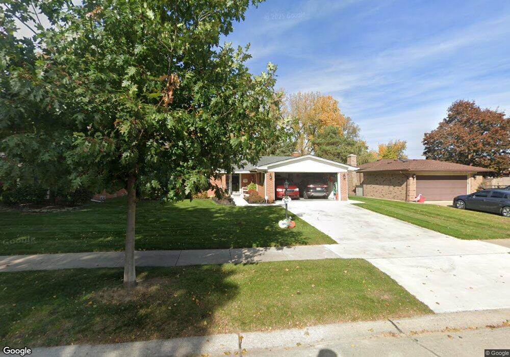
39380 Ross St Livonia, MI 48154
Estimated Value: $366,000 - $375,000
3
Beds
2
Baths
1,405
Sq Ft
$263/Sq Ft
Est. Value
About This Home
This home is located at 39380 Ross St, Livonia, MI 48154 and is currently estimated at $369,867, approximately $263 per square foot. 39380 Ross St is a home located in Wayne County with nearby schools including Randolph Elementary School, Johnson Upper Elementary School, and Frost Middle School.
Ownership History
Date
Name
Owned For
Owner Type
Purchase Details
Closed on
Aug 6, 2013
Sold by
Hutchins Tanya
Bought by
Hutchins Tanya and Tanya R Hutchins Trust
Current Estimated Value
Purchase Details
Closed on
Mar 14, 2011
Sold by
Secretary Of Housing & Urban Development
Bought by
Hutchins Tanya
Purchase Details
Closed on
Jan 13, 2011
Sold by
Midfirst Bank
Bought by
The Secretary Of Housing & Urban Develop
Purchase Details
Closed on
Jun 2, 2010
Sold by
Green Toni
Bought by
Midfirst Bank
Purchase Details
Closed on
Dec 21, 2007
Sold by
Dudley James E and Dudley Marilyn
Bought by
Green Toni
Create a Home Valuation Report for This Property
The Home Valuation Report is an in-depth analysis detailing your home's value as well as a comparison with similar homes in the area
Home Values in the Area
Average Home Value in this Area
Purchase History
| Date | Buyer | Sale Price | Title Company |
|---|---|---|---|
| Hutchins Tanya | -- | None Available | |
| Hutchins Tanya | $135,001 | None Available | |
| The Secretary Of Housing & Urban Develop | -- | None Available | |
| Midfirst Bank | $221,382 | None Available | |
| Green Toni | $212,000 | Multiple |
Source: Public Records
Tax History Compared to Growth
Tax History
| Year | Tax Paid | Tax Assessment Tax Assessment Total Assessment is a certain percentage of the fair market value that is determined by local assessors to be the total taxable value of land and additions on the property. | Land | Improvement |
|---|---|---|---|---|
| 2025 | $2,426 | $176,300 | $0 | $0 |
| 2024 | $2,426 | $168,700 | $0 | $0 |
| 2023 | $2,314 | $158,600 | $0 | $0 |
| 2022 | $4,139 | $149,100 | $0 | $0 |
| 2021 | $4,032 | $136,700 | $0 | $0 |
| 2019 | $3,898 | $123,100 | $0 | $0 |
| 2018 | $1,956 | $115,200 | $0 | $0 |
| 2017 | $3,681 | $108,600 | $0 | $0 |
| 2016 | $3,746 | $105,300 | $0 | $0 |
| 2015 | $8,607 | $98,440 | $0 | $0 |
| 2012 | -- | $81,930 | $18,240 | $63,690 |
Source: Public Records
Map
Nearby Homes
- 39050 Lyndon St
- 14469 Bassett St
- 39175 Parkhurst St
- 39237 Grennada St
- 14285 Adams St
- 14367 Houghton St
- 38540 5 Mile (Service Drive) Rd
- 38063 Donald St
- 15111 Houghton St
- 14411 Nola St
- 38502 Summers St
- 15916 Swathmore Ln
- 40764 Crabtree Ln
- 40710 Five Mile Rd
- 15601 Park Ln
- 14557 Richfield St
- 15215 Maxwell Ave
- 41134 Russet Ln
- 37800 Schoolcraft Rd
- 37656 Schoolcraft Rd