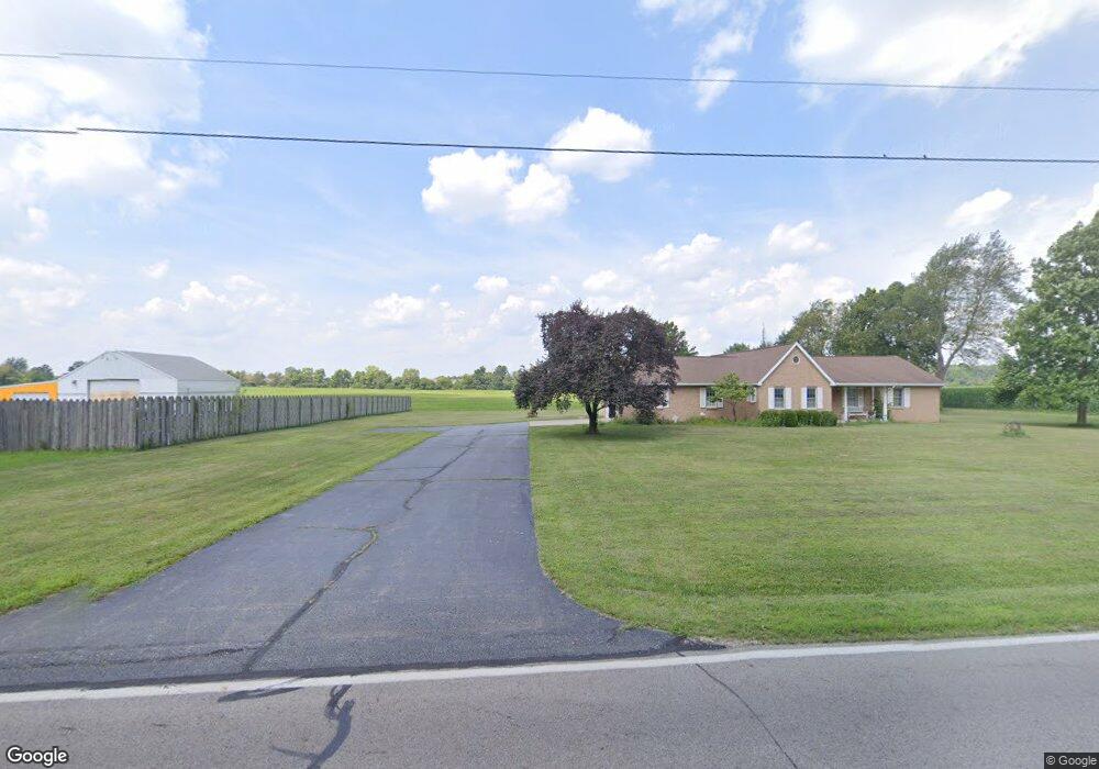
3939 Bosart Rd Springfield, OH 45503
Estimated Value: $283,000 - $335,000
3
Beds
2
Baths
1,700
Sq Ft
$182/Sq Ft
Est. Value
About This Home
This home is located at 3939 Bosart Rd, Springfield, OH 45503 and is currently estimated at $309,834, approximately $182 per square foot. 3939 Bosart Rd is a home located in Clark County with nearby schools including Rolling Hills Elementary School, Northridge Middle School, and Kenton Ridge Middle & High School.
Ownership History
Date
Name
Owned For
Owner Type
Purchase Details
Closed on
Apr 18, 2024
Sold by
Hopkins Steve D
Bought by
Deselem Baylor L
Current Estimated Value
Home Financials for this Owner
Home Financials are based on the most recent Mortgage that was taken out on this home.
Original Mortgage
$226,000
Outstanding Balance
$222,623
Interest Rate
6.88%
Mortgage Type
New Conventional
Estimated Equity
$87,211
Purchase Details
Closed on
Oct 19, 1987
Sold by
Arthur Gayle M and Mason Paul W
Bought by
Hopkins Steve D and Judith Ann
Create a Home Valuation Report for This Property
The Home Valuation Report is an in-depth analysis detailing your home's value as well as a comparison with similar homes in the area
Home Values in the Area
Average Home Value in this Area
Purchase History
| Date | Buyer | Sale Price | Title Company |
|---|---|---|---|
| Deselem Baylor L | $282,500 | None Listed On Document | |
| Hopkins Steve D | $9,000 | -- |
Source: Public Records
Mortgage History
| Date | Status | Borrower | Loan Amount |
|---|---|---|---|
| Open | Deselem Baylor L | $226,000 |
Source: Public Records
Tax History Compared to Growth
Tax History
| Year | Tax Paid | Tax Assessment Tax Assessment Total Assessment is a certain percentage of the fair market value that is determined by local assessors to be the total taxable value of land and additions on the property. | Land | Improvement |
|---|---|---|---|---|
| 2024 | $3,126 | $83,070 | $14,870 | $68,200 |
| 2023 | $3,126 | $83,070 | $14,870 | $68,200 |
| 2022 | $3,155 | $83,070 | $14,870 | $68,200 |
| 2021 | $2,973 | $68,100 | $12,190 | $55,910 |
| 2020 | $2,976 | $68,100 | $12,190 | $55,910 |
| 2019 | $3,032 | $68,100 | $12,190 | $55,910 |
| 2018 | $2,706 | $59,580 | $11,290 | $48,290 |
| 2017 | $2,319 | $59,581 | $11,288 | $48,293 |
| 2016 | $2,303 | $59,581 | $11,288 | $48,293 |
| 2015 | $2,185 | $55,189 | $11,288 | $43,901 |
| 2014 | $2,184 | $55,189 | $11,288 | $43,901 |
| 2013 | $2,134 | $55,189 | $11,288 | $43,901 |
Source: Public Records
Map
Nearby Homes
- 3963 Covington Dr Unit 3963
- 3452 Bosart Rd
- 4249 Reno Rd
- 4321 Tulane Rd
- 4644 Middle Urbana Rd
- 3500 Oakmont Ct
- 1781 Pinehurst Dr
- 1640 Montego Dr
- 4050 Tacoma St
- 4438 Tacoma St
- 3112 Country Side Ct Unit 3112
- 1507 Kingsgate Rd
- 1505 Kingsgate Rd
- 1503 Kingsgate Rd
- 1501 Kingsgate Rd
- 4446 Ridgewood Rd E Unit 3