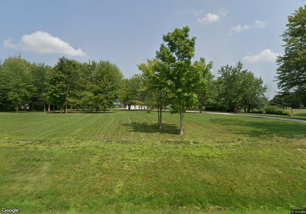
3939 Green Cook Rd Johnstown, OH 43031
Harlem NeighborhoodEstimated Value: $802,000 - $1,407,174
5
Beds
5
Baths
4,362
Sq Ft
$236/Sq Ft
Est. Value
About This Home
This home is located at 3939 Green Cook Rd, Johnstown, OH 43031 and is currently estimated at $1,028,294, approximately $235 per square foot. 3939 Green Cook Rd is a home with nearby schools including Hylen Souders Elementary School, Big Walnut Intermediate School, and Big Walnut Middle School.
Ownership History
Date
Name
Owned For
Owner Type
Purchase Details
Closed on
Jun 7, 2021
Sold by
Marroni Steven M and Marroni Wendy K
Bought by
Marroni Steven M and Marroni Wendy K
Current Estimated Value
Purchase Details
Closed on
Jul 15, 2016
Sold by
Walraven George
Bought by
Marroni Steven M and Marroni Wendy K
Create a Home Valuation Report for This Property
The Home Valuation Report is an in-depth analysis detailing your home's value as well as a comparison with similar homes in the area
Home Values in the Area
Average Home Value in this Area
Purchase History
| Date | Buyer | Sale Price | Title Company |
|---|---|---|---|
| Marroni Steven M | -- | None Available | |
| Marroni Steven M | $135,000 | Title Search Services Box |
Source: Public Records
Tax History Compared to Growth
Tax History
| Year | Tax Paid | Tax Assessment Tax Assessment Total Assessment is a certain percentage of the fair market value that is determined by local assessors to be the total taxable value of land and additions on the property. | Land | Improvement |
|---|---|---|---|---|
| 2024 | $12,657 | $339,500 | $92,470 | $247,030 |
| 2023 | $10,343 | $306,110 | $92,470 | $213,640 |
| 2022 | $9,587 | $195,590 | $64,720 | $130,870 |
| 2021 | $9,689 | $195,590 | $64,720 | $130,870 |
| 2020 | $9,722 | $195,590 | $64,720 | $130,870 |
| 2019 | $4,871 | $94,510 | $46,240 | $48,270 |
| 2018 | $1,938 | $39,760 | $39,760 | $0 |
| 2017 | $1,485 | $25,730 | $25,730 | $0 |
| 2016 | $1,167 | $25,730 | $25,730 | $0 |
| 2015 | $1,157 | $25,730 | $25,730 | $0 |
| 2014 | $1,195 | $25,730 | $25,730 | $0 |
| 2013 | $1,295 | $25,730 | $25,730 | $0 |
Source: Public Records
Map
Nearby Homes
- 0 Robins Rd Unit 223016518
- 3464 S County Line Rd
- 15550 Evans Rd
- 14859 Center Village Rd
- 13900 Fancher Rd
- 13832 Fancher Rd
- 14236 Blamer Rd
- 13958 Johnstown Utica Rd
- 5535 Miller Church Rd
- 13601 Johnstown Utica Rd
- 7850 Peter Hoover Rd
- 11048 Johnstown Rd
- 10981 Johnstown Rd
- Izabella Plan at Estates at Albany Acres
- Kline Residence Plan at Estates at Albany Acres
- The Iris Residence Plan at Estates at Albany Acres
- Ferryman Residence Plan at Estates at Albany Acres
- Scarlett Custom Plan A at Estates at Albany Acres
- DeNiro Residence Plan at Estates at Albany Acres
- Ashford Plan at Estates at Albany Acres
- 3911 Green Cook Rd
- 3995 Green Cook Rd
- 4015 Green Cook Rd
- 3867 Green Cook Rd
- 3815 Green Cook Rd
- 14841 Robins Rd
- 14841 Robins Rd
- 14953 Robins Rd
- 3773 Green Cook Rd
- 3754 Green Cook Rd
- 3748 Green Cook Rd
- 14800 Robbins Rd
- 14800 Robins Rd
- 3721 Green Cook Rd
- 15107 Robins Rd
- 4178 Green Cook Rd
- 3801 Green Cook Rd
- 15074 Robins Rd
- 14870 Robins Rd
- 14870 Robins Rd
