3939 Karl Rd Columbus, OH 43224
Clinton Estates NeighborhoodEstimated Value: $93,109 - $104,000
1
Bed
2
Baths
902
Sq Ft
$107/Sq Ft
Est. Value
About This Home
This home is located at 3939 Karl Rd, Columbus, OH 43224 and is currently estimated at $96,277, approximately $106 per square foot. 3939 Karl Rd is a home located in Franklin County with nearby schools including Maize Road Elementary School, Medina Middle School, and Mifflin High School.
Ownership History
Date
Name
Owned For
Owner Type
Purchase Details
Closed on
Jun 9, 2023
Sold by
Given Not
Bought by
Beck Donna L
Current Estimated Value
Purchase Details
Closed on
Jun 5, 2019
Sold by
Callicoat Betty S
Bought by
Beck Donna L
Purchase Details
Closed on
Mar 16, 1998
Sold by
Ruth Gurina E
Bought by
Callicoat Betty S
Purchase Details
Closed on
Nov 28, 1988
Create a Home Valuation Report for This Property
The Home Valuation Report is an in-depth analysis detailing your home's value as well as a comparison with similar homes in the area
Home Values in the Area
Average Home Value in this Area
Purchase History
| Date | Buyer | Sale Price | Title Company |
|---|---|---|---|
| Beck Donna L | -- | -- | |
| Beck Donna L | $32,500 | Stewart Title Box | |
| Callicoat Betty S | $43,000 | Chicago Title | |
| -- | $45,500 | -- |
Source: Public Records
Tax History
| Year | Tax Paid | Tax Assessment Tax Assessment Total Assessment is a certain percentage of the fair market value that is determined by local assessors to be the total taxable value of land and additions on the property. | Land | Improvement |
|---|---|---|---|---|
| 2025 | $1,200 | $26,180 | $2,450 | $23,730 |
| 2024 | $1,200 | $26,180 | $2,450 | $23,730 |
| 2023 | $1,185 | $26,180 | $2,450 | $23,730 |
| 2022 | $888 | $16,700 | $2,210 | $14,490 |
| 2021 | $889 | $16,700 | $2,210 | $14,490 |
| 2020 | $890 | $16,700 | $2,210 | $14,490 |
| 2019 | $278 | $13,340 | $1,750 | $11,590 |
| 2018 | $139 | $13,340 | $1,750 | $11,590 |
| 2017 | $278 | $13,340 | $1,750 | $11,590 |
| 2016 | $0 | $8,480 | $1,790 | $6,690 |
| 2015 | -- | $8,480 | $1,790 | $6,690 |
| 2014 | $55 | $8,480 | $1,790 | $6,690 |
| 2013 | $55 | $10,605 | $2,240 | $8,365 |
Source: Public Records
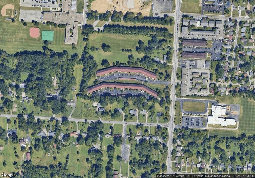
Map
Nearby Homes
- 3939 Karl Rd Unit 311
- 3941 Karl Rd Unit 326
- 3967 Karl Rd Unit 224
- 4143 Karl Rd Unit 215
- 4143 Karl Rd Unit 314
- 4145 Karl Rd Unit 223
- 1130 Carbone Dr
- 3620 Walmar Dr
- 1242 Acton Rd
- 3750 Dresden St
- 3585 Gerbert Rd
- 1863 Ward Rd
- 3583 Dresden St
- 991 Hidden Acres Ct Unit 991
- 3471 Ontario St
- 4320 Sandy Lane Rd
- 3401 Walmar Dr
- 899 Meadowview Dr
- 1144 Reed Circle Dr
- 3508 Kenlawn St
- 3939 Karl Rd Unit 302
- 3939 Karl Rd Unit 109
- 3939 Karl Rd Unit 111
- 3939 Karl Rd Unit 300
- 3939 Karl Rd Unit 110
- 3939 Karl Rd Unit 304
- 3939 Karl Rd Unit 115
- 3939 Karl Rd Unit 104
- 3939 Karl Rd
- 3939 Karl Rd
- 3939 Karl Rd
- 3939 Karl Rd Unit 103
- 3939 Karl Rd Unit 204
- 3939 Karl Rd Unit 209
- 3939 Karl Rd Unit 107
- 3939 Karl Rd Unit 113
- 3939 Karl Rd Unit 205
- 3939 Karl Rd
- 3939 Karl Rd
- 3939 Karl Rd
Your Personal Tour Guide
Ask me questions while you tour the home.