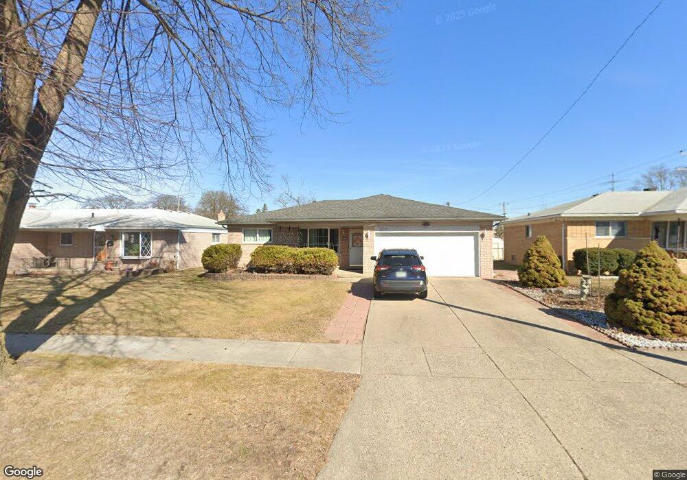
3939 Robertson Dr Warren, MI 48092
Northwest Warren NeighborhoodEstimated Value: $253,714 - $271,000
3
Beds
2
Baths
1,376
Sq Ft
$192/Sq Ft
Est. Value
About This Home
This home is located at 3939 Robertson Dr, Warren, MI 48092 and is currently estimated at $264,179, approximately $191 per square foot. 3939 Robertson Dr is a home located in Macomb County with nearby schools including Lean Elementary School, Beer Middle School, and Warren Mott High School.
Ownership History
Date
Name
Owned For
Owner Type
Purchase Details
Closed on
Apr 28, 2021
Sold by
Liu Yan Fang and Estate Of Kwai Tat Yip
Bought by
Yip William Wingshun and Yip Sophia Onyuk
Current Estimated Value
Purchase Details
Closed on
Oct 17, 2017
Sold by
Yip Kwai T and Liu Yan F
Bought by
Yip Kwai T
Purchase Details
Closed on
May 23, 2005
Sold by
Nassra Mako Jamal and Nassra Mako
Bought by
Yip Kwai T and Liu Yan F
Home Financials for this Owner
Home Financials are based on the most recent Mortgage that was taken out on this home.
Original Mortgage
$60,000
Interest Rate
5.91%
Mortgage Type
Fannie Mae Freddie Mac
Purchase Details
Closed on
Jan 31, 2000
Sold by
Mako Adnan
Bought by
Mako Jamal
Create a Home Valuation Report for This Property
The Home Valuation Report is an in-depth analysis detailing your home's value as well as a comparison with similar homes in the area
Home Values in the Area
Average Home Value in this Area
Purchase History
| Date | Buyer | Sale Price | Title Company |
|---|---|---|---|
| Yip William Wingshun | -- | None Available | |
| Yip Kwai T | -- | None Available | |
| Yip Kwai T | $163,900 | The Title Company Of Mi Inc | |
| Mako Jamal | $163,000 | -- |
Source: Public Records
Mortgage History
| Date | Status | Borrower | Loan Amount |
|---|---|---|---|
| Previous Owner | Yip Kwai T | $60,000 |
Source: Public Records
Tax History
| Year | Tax Paid | Tax Assessment Tax Assessment Total Assessment is a certain percentage of the fair market value that is determined by local assessors to be the total taxable value of land and additions on the property. | Land | Improvement |
|---|---|---|---|---|
| 2025 | $2,822 | $121,770 | $0 | $0 |
| 2024 | $28 | $115,010 | $0 | $0 |
| 2023 | $2,617 | $94,100 | $0 | $0 |
| 2022 | $2,529 | $84,680 | $0 | $0 |
| 2021 | $2,573 | $80,120 | $0 | $0 |
| 2020 | $2,481 | $74,070 | $0 | $0 |
| 2019 | $2,392 | $70,950 | $0 | $0 |
| 2018 | $2,430 | $68,520 | $0 | $0 |
| 2017 | $2,399 | $58,890 | $10,090 | $48,800 |
| 2016 | $2,396 | $58,890 | $0 | $0 |
| 2015 | -- | $53,860 | $0 | $0 |
| 2012 | -- | $43,220 | $0 | $0 |
Source: Public Records
Map
Nearby Homes
- 28427 Wexford Dr
- 28530 Ryan Rd
- 28475 Norwood Ave
- 4453 Thornwood Ct Unit 101
- 4460 Spruce Ct Unit 135
- 4079 Sudbury Dr
- 28314 James Dr
- 27365 Ryan Rd
- 27448 Haverhill Dr
- 28423 James Dr
- 27443 Strathmoor Dr
- 29327 Orvylle Dr
- 4829 Wolgast Dr
- 28130 Universal Dr Unit H96
- 4032 Heatherwood Ct
- 28212 Universal Dr Unit I114
- 28264 Universal Dr
- 4878 Wolgast Dr
- 28306 Universal Dr
- 28452 Universal Dr
- 3927 Robertson Dr
- 3951 Robertson Dr
- 3915 Robertson Dr
- 28401 Ryan Rd
- 3916 Parent Ave
- 3903 Robertson Dr
- 3926 Robertson Dr
- 3950 Robertson Dr
- 3914 Robertson Dr
- 3904 Parent Ave
- 3851 Robertson Dr
- 3902 Robertson Dr
- 3852 Parent Ave
- 28251 Ryan Rd
- 28336 Ryan Rd
- 3835 Parent Ave
- 28426 Wexford Dr
- 3844 Robertson Dr
- 28414 Wexford Dr
- 28438 Wexford Dr