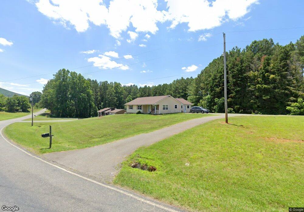
394 Black Mountain Rd Pilot Mountain, NC 27041
Estimated Value: $250,973 - $303,000
2
Beds
1
Bath
1,744
Sq Ft
$164/Sq Ft
Est. Value
About This Home
This home is located at 394 Black Mountain Rd, Pilot Mountain, NC 27041 and is currently estimated at $286,743, approximately $164 per square foot. 394 Black Mountain Rd is a home with nearby schools including Pilot Mountain Elementary School, Pilot Mountain Middle School, and East Surry High School.
Ownership History
Date
Name
Owned For
Owner Type
Purchase Details
Closed on
Feb 4, 2008
Sold by
R & J Rentals Llc
Bought by
Culler Roy A and Culler Jean A
Current Estimated Value
Purchase Details
Closed on
Jan 31, 2008
Sold by
R & J Rentals Llc
Bought by
Culler Roy A and Culler Jean A
Purchase Details
Closed on
Dec 7, 2007
Sold by
Culler Roy Allen and Culler Jean A
Bought by
R & J Rentals Llc
Purchase Details
Closed on
Nov 1, 1999
Purchase Details
Closed on
Aug 1, 1954
Create a Home Valuation Report for This Property
The Home Valuation Report is an in-depth analysis detailing your home's value as well as a comparison with similar homes in the area
Purchase History
| Date | Buyer | Sale Price | Title Company |
|---|---|---|---|
| Culler Roy A | -- | Chicago Title Insurance Comp | |
| Culler Roy A | -- | None Available | |
| R & J Rentals Llc | -- | Chicago Title Insurance Co | |
| -- | $87,000 | -- | |
| -- | -- | -- |
Source: Public Records
Tax History
| Year | Tax Paid | Tax Assessment Tax Assessment Total Assessment is a certain percentage of the fair market value that is determined by local assessors to be the total taxable value of land and additions on the property. | Land | Improvement |
|---|---|---|---|---|
| 2025 | $1,146 | $199,830 | $28,000 | $171,830 |
| 2024 | $869 | $139,020 | $26,000 | $113,020 |
| 2023 | $853 | $139,020 | $26,000 | $113,020 |
| 2022 | $853 | $139,020 | $26,000 | $113,020 |
| 2021 | $869 | $139,020 | $26,000 | $113,020 |
| 2020 | $872 | $132,910 | $24,000 | $108,910 |
| 2019 | $869 | $132,910 | $24,000 | $108,910 |
| 2018 | $853 | $132,910 | $0 | $0 |
| 2017 | $866 | $132,910 | $0 | $0 |
| 2016 | $866 | $132,910 | $0 | $0 |
| 2013 | -- | $113,610 | $0 | $0 |
Source: Public Records
Map
Nearby Homes
- 536 Black Mountain Rd
- TBD Golf Course Rd
- 226 Lola Ln Unit 103
- 0 S Key St
- 00 Whitaker Chapel Rd Unit 2
- 00 Whitaker Chapel Rd Unit 1
- 00 Whitaker Chapel Rd Unit 10
- 273 Olde Pilot Trail
- 0 Heatherly Creek Dr
- 0 Pine Ridge Trail
- o N Carolina 268
- 0 N Carolina 268
- 00 Golf Course Rd
- 713 Old Barn Cir
- 273 S Boyles St
- 267 S Boyles St
- 710 Saddle Dr
- 950 Dodson Mill Rd
- 827 Dodson Mill Rd
- 812 W Main St
- 374 Black Mountain Rd
- 122 Gotham Ln
- 283 Mountain Loop Rd
- 163 Mountain Loop Rd
- 440 Black Mountain Rd
- 225 Mountain Loop Rd
- 505 Black Mountain Rd
- 00 Stone Dr
- 212 Stone Dr
- 2.84 Acres Stone Dr
- 512 Black Mountain Rd
- 194 Mountain Loop Rd
- 198 Stone Dr
- 211 Stone Dr
- 176 Stone Dr
- 539 Black Mountain Rd
- 162 Stone Dr
- 216 Friendly Ln
- 195 Stone Dr
- 177 Stone Dr
Your Personal Tour Guide
Ask me questions while you tour the home.