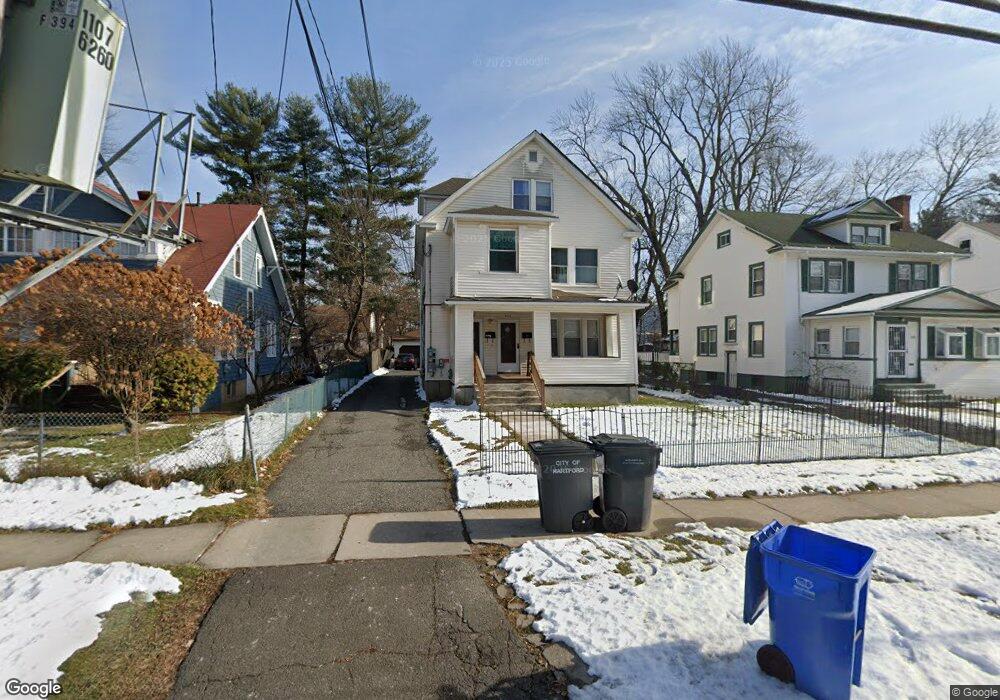
394 Cornwall St Unit 396 Hartford, CT 06112
Blue Hills NeighborhoodEstimated Value: $303,734 - $410,000
6
Beds
2
Baths
3,150
Sq Ft
$116/Sq Ft
Est. Value
About This Home
This home is located at 394 Cornwall St Unit 396, Hartford, CT 06112 and is currently estimated at $366,684, approximately $116 per square foot. 394 Cornwall St Unit 396 is a home located in Hartford County with nearby schools including Rawson School, West Middle School, and Martin Luther King, Jr. Middle School.
Ownership History
Date
Name
Owned For
Owner Type
Purchase Details
Closed on
Jan 4, 2001
Sold by
Mcdue Delores
Bought by
Kirlew Hyacinth and Nugent Nikisha
Current Estimated Value
Home Financials for this Owner
Home Financials are based on the most recent Mortgage that was taken out on this home.
Original Mortgage
$132,932
Interest Rate
7.69%
Mortgage Type
Purchase Money Mortgage
Create a Home Valuation Report for This Property
The Home Valuation Report is an in-depth analysis detailing your home's value as well as a comparison with similar homes in the area
Home Values in the Area
Average Home Value in this Area
Purchase History
| Date | Buyer | Sale Price | Title Company |
|---|---|---|---|
| Kirlew Hyacinth | $133,500 | -- |
Source: Public Records
Mortgage History
| Date | Status | Borrower | Loan Amount |
|---|---|---|---|
| Open | Kirlew Hyacinth | $154,000 | |
| Closed | Kirlew Hyacinth | $9,999 | |
| Closed | Kirlew Hyacinth | $132,932 | |
| Previous Owner | Kirlew Hyacinth | $11,000 |
Source: Public Records
Tax History Compared to Growth
Tax History
| Year | Tax Paid | Tax Assessment Tax Assessment Total Assessment is a certain percentage of the fair market value that is determined by local assessors to be the total taxable value of land and additions on the property. | Land | Improvement |
|---|---|---|---|---|
| 2024 | $7,156 | $103,782 | $6,395 | $97,387 |
| 2023 | $7,156 | $103,782 | $6,395 | $97,387 |
| 2022 | $4,683 | $103,783 | $6,395 | $97,388 |
| 2021 | $4,683 | $63,035 | $7,560 | $55,475 |
| 2020 | $4,683 | $63,035 | $7,560 | $55,475 |
| 2019 | $4,683 | $63,035 | $7,560 | $55,475 |
| 2018 | $4,525 | $60,910 | $7,305 | $53,605 |
| 2016 | $4,190 | $56,400 | $6,958 | $49,442 |
| 2015 | $3,991 | $53,721 | $6,627 | $47,094 |
| 2014 | $3,893 | $52,407 | $6,464 | $45,943 |
Source: Public Records
Map
Nearby Homes
- 86 Hartland St
- 90 Manchester St
- 355 Cornwall St Unit 357
- 11 Pershing St Unit 13
- 70 Burnham St Unit 72
- 179 Manchester St
- 36 Baltic St Unit 38
- 125 Lebanon St Unit 127
- 152 Burnham St
- 297 Branford St
- 180 Andover St
- 97 E Burnham St
- 171 N Canaan St
- 180 Brookline Ave
- 157 Pembroke St Unit 159
- 34 Gilbert Ave
- 144 Thomaston St
- 117 E Pershing St
- 175 E Pershing St
- 25 Cornwall St
- 400 Cornwall St
- 390 Cornwall St
- 386 Cornwall St
- 780 Tower Ave Unit 782
- 395 Cornwall St
- 391 Cornwall St
- 757 Tower Ave
- 382 Cornwall St
- 387 Cornwall St
- 774 Tower Ave
- 788 Tower Ave Unit 790
- 770 Tower Ave
- 381 Cornwall St
- 766 Tower Ave
- 19 Salisbury St
- 378 Cornwall St
- 753 Tower Ave
- 764 Tower Ave
- 784 Tower Ave Unit 786
- 377 Cornwall St