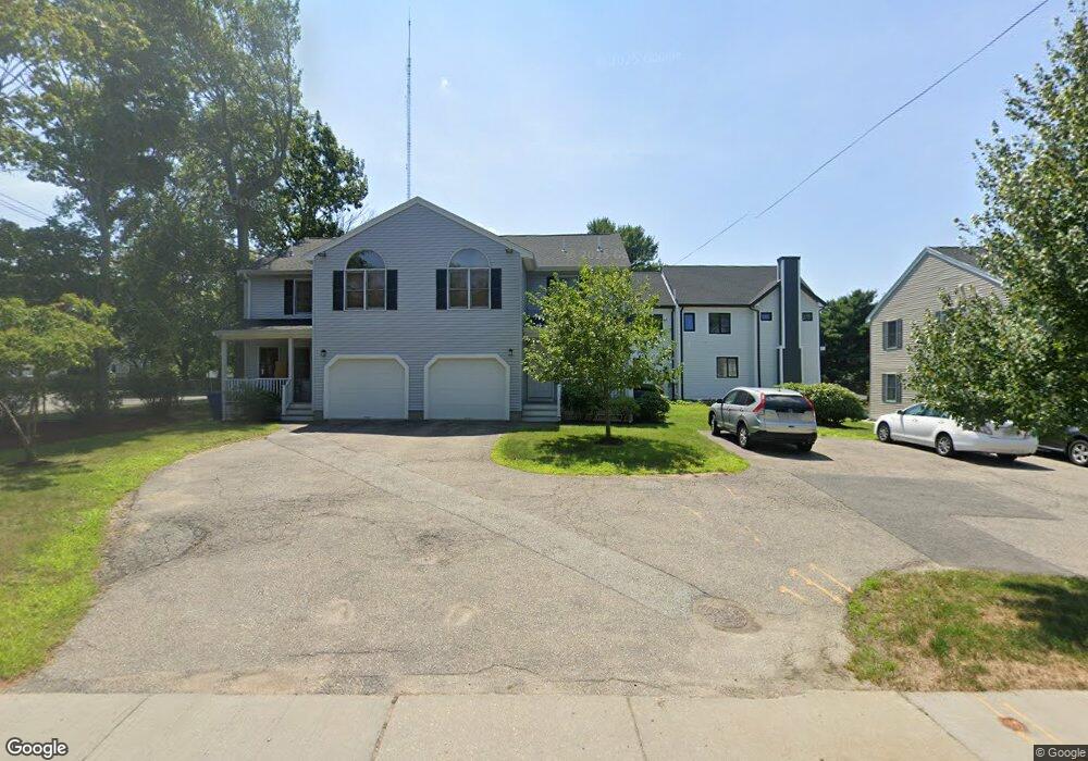
394 Elliot St Unit 396 Newton Upper Falls, MA 02464
Newton Upper Falls NeighborhoodEstimated Value: $1,460,000 - $1,731,000
6
Beds
6
Baths
3,104
Sq Ft
$517/Sq Ft
Est. Value
About This Home
This home is located at 394 Elliot St Unit 396, Newton Upper Falls, MA 02464 and is currently estimated at $1,604,258, approximately $516 per square foot. 394 Elliot St Unit 396 is a home located in Middlesex County with nearby schools including Countryside Elementary School, Charles E Brown Middle School, and Newton South High School.
Ownership History
Date
Name
Owned For
Owner Type
Purchase Details
Closed on
Jul 25, 2019
Sold by
Chatham Properties Llc
Bought by
W Broadway Property Dev
Current Estimated Value
Purchase Details
Closed on
Dec 4, 2007
Sold by
Chatham Prop Co Inc
Bought by
Chatham Prop Llc
Purchase Details
Closed on
Dec 31, 1990
Sold by
Port Corp
Bought by
Chatham Properties Co
Purchase Details
Closed on
Oct 10, 1990
Sold by
Zayas Fred
Bought by
Port Corp
Create a Home Valuation Report for This Property
The Home Valuation Report is an in-depth analysis detailing your home's value as well as a comparison with similar homes in the area
Home Values in the Area
Average Home Value in this Area
Purchase History
| Date | Buyer | Sale Price | Title Company |
|---|---|---|---|
| W Broadway Property Dev | -- | -- | |
| Chatham Prop Llc | -- | -- | |
| Chatham Prop Llc | -- | -- | |
| Chatham Properties Co | $198,500 | -- | |
| Port Corp | $1,340,108 | -- |
Source: Public Records
Tax History Compared to Growth
Tax History
| Year | Tax Paid | Tax Assessment Tax Assessment Total Assessment is a certain percentage of the fair market value that is determined by local assessors to be the total taxable value of land and additions on the property. | Land | Improvement |
|---|---|---|---|---|
| 2025 | $13,570 | $1,384,700 | $971,100 | $413,600 |
| 2024 | $13,121 | $1,344,400 | $942,800 | $401,600 |
| 2023 | $12,791 | $1,256,500 | $764,000 | $492,500 |
| 2022 | $12,239 | $1,163,400 | $707,400 | $456,000 |
| 2021 | $11,484 | $1,067,300 | $649,000 | $418,300 |
| 2020 | $11,143 | $1,067,300 | $649,000 | $418,300 |
| 2019 | $10,424 | $997,500 | $606,500 | $391,000 |
| 2018 | $10,558 | $975,800 | $571,800 | $404,000 |
| 2017 | $9,955 | $895,200 | $524,600 | $370,600 |
| 2016 | $9,346 | $821,300 | $481,300 | $340,000 |
| 2015 | $8,894 | $766,100 | $449,800 | $316,300 |
Source: Public Records
Map
Nearby Homes
- 45 River Ave Unit 45
- 27 Hamilton Place
- 1003 Chestnut St
- 992 Chestnut St
- 54 Indiana Terrace
- 51 Pettee St Unit 11
- 27 Indiana Terrace Unit 29
- 20 Pennsylvania Ave
- 20 Pennsylvania Ave Unit 20
- 18-20 Pennsylvania Ave Unit 18
- 130 Central Ave
- 102 Thurston Rd Unit 100
- 103 Thurston Rd
- 187 Saint Mary St
- 66 Linden St
- 181 Saint Mary St
- 18 Evergreen Rd
- 193 Oak St Unit 403
- 41 Lee Rd
- 183 Oak St Unit 307
- 396 Elliot St
- 394 Elliot St Unit 394
- 43 River Ave
- 43 River Ave Unit 43
- 404 Elliot St Unit 406
- 404 Elliot St Unit 404
- 406 Elliot St
- 3 Keefe Ave
- 1 Keefe Ave
- 1 Keefe Ave Unit 1
- 48 River Ave
- 10 Keefe Ave
- 10 Keefe Ave Unit B
- 10 Keefe Ave Unit A
- 8 Keefe Ave
- 8 Keefe Ave Unit 8
- 8 Keefe Ave Unit A
- 11 Keefe Ave Unit 2
- 9 Keefe Ave Unit 11
- 9 Keefe Ave Unit 2