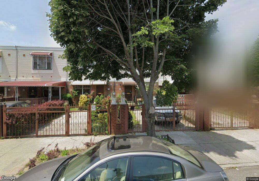
394 Hinsdale St Brooklyn, NY 11207
Brownsville NeighborhoodEstimated Value: $600,509 - $697,000
--
Bed
--
Bath
1,332
Sq Ft
$489/Sq Ft
Est. Value
About This Home
This home is located at 394 Hinsdale St, Brooklyn, NY 11207 and is currently estimated at $651,627, approximately $489 per square foot. 394 Hinsdale St is a home located in Kings County with nearby schools including Brooklyn Gardens Elementary School, J.H.S 292 Margaret S. Douglas, and Hyde Leadership Charter School-Brooklyn.
Ownership History
Date
Name
Owned For
Owner Type
Purchase Details
Closed on
Jun 10, 2021
Sold by
The Ernest Plowden Revocaable Living Tru and Therman Stephen Plowden Trustee
Bought by
Plowden David and Plowden Eric D
Current Estimated Value
Purchase Details
Closed on
Mar 26, 2003
Sold by
Plowden Ernest
Bought by
Plowden As Trustee Ernest
Purchase Details
Closed on
Jan 14, 1998
Sold by
Nehemiah Housing Development Fund Co Inc
Bought by
Plowden Ernest
Create a Home Valuation Report for This Property
The Home Valuation Report is an in-depth analysis detailing your home's value as well as a comparison with similar homes in the area
Home Values in the Area
Average Home Value in this Area
Purchase History
| Date | Buyer | Sale Price | Title Company |
|---|---|---|---|
| Plowden David | -- | -- | |
| Plowden David | -- | -- | |
| Plowden As Trustee Ernest | -- | -- | |
| Plowden As Trustee Ernest | -- | -- | |
| Plowden Ernest | $93,500 | -- | |
| Plowden Ernest | $93,500 | -- |
Source: Public Records
Tax History Compared to Growth
Tax History
| Year | Tax Paid | Tax Assessment Tax Assessment Total Assessment is a certain percentage of the fair market value that is determined by local assessors to be the total taxable value of land and additions on the property. | Land | Improvement |
|---|---|---|---|---|
| 2025 | $4,998 | $36,780 | $14,760 | $22,020 |
| 2024 | $4,998 | $39,780 | $14,760 | $25,020 |
| 2023 | $4,864 | $36,360 | $14,760 | $21,600 |
| 2022 | $4,743 | $32,040 | $14,760 | $17,280 |
| 2021 | $4,758 | $29,520 | $14,760 | $14,760 |
| 2020 | $2,273 | $26,220 | $14,760 | $11,460 |
| 2019 | $4,338 | $24,960 | $14,760 | $10,200 |
| 2018 | $3,771 | $19,960 | $14,315 | $5,645 |
| 2017 | $3,482 | $19,800 | $7,286 | $12,514 |
| 2016 | $2,956 | $18,840 | $6,326 | $12,514 |
| 2015 | $1,026 | $18,109 | $5,595 | $12,514 |
| 2014 | $1,026 | $17,280 | $4,766 | $12,514 |
Source: Public Records
Map
Nearby Homes
- 406 Hinsdale St
- 533 Snediker Ave
- 541 Hinsdale St
- 576 Williams Ave
- 578 Williams Ave
- 297 Hinsdale St
- 582 Williams Ave
- 440 Blake Ave
- 442 Newport St
- 637 Blake Ave
- 606 Alabama Ave
- 610 Alabama Ave
- 584 Hinsdale St
- 589 Hinsdale St
- 546 Powell St
- 563 Powell St
- 353 Pennsylvania Ave
- 444 New Jersey Ave
- 486 Vermont St
- 650 Williams Ave
- 396 Hinsdale St
- 392 Hinsdale St
- 398 Hinsdale St
- 400 Hinsdale St
- 402 Hinsdale St
- 404 Hinsdale St
- 395 Snediker Ave
- 393 Snediker Ave
- 397 Snediker Ave
- 399 Snediker Ave
- 391 Snediker Ave
- 401 Snediker Ave Unit 403
- 401-403 Snediker Ave
- 403 Snediker Ave
- 408 Hinsdale St
- 405 Snediker Ave
- 410 Hinsdale St
- 407 Snediker Ave
- 412 Hinsdale St
- 409 Snediker Ave