394 Hoover Rd Troutman, NC 28166
Estimated Value: $1,077,000 - $1,364,125
3
Beds
4
Baths
5,224
Sq Ft
$238/Sq Ft
Est. Value
About This Home
This home is located at 394 Hoover Rd, Troutman, NC 28166 and is currently estimated at $1,245,031, approximately $238 per square foot. 394 Hoover Rd is a home located in Iredell County with nearby schools including Troutman Elementary School, Troutman Middle School, and South Iredell High School.
Ownership History
Date
Name
Owned For
Owner Type
Purchase Details
Closed on
Sep 22, 2006
Sold by
Sigmon Larry G and Sigmon Nancy S
Bought by
Malloy James D and Malloy Anne E
Current Estimated Value
Home Financials for this Owner
Home Financials are based on the most recent Mortgage that was taken out on this home.
Original Mortgage
$250,000
Outstanding Balance
$148,904
Interest Rate
6.52%
Mortgage Type
Purchase Money Mortgage
Estimated Equity
$1,096,127
Create a Home Valuation Report for This Property
The Home Valuation Report is an in-depth analysis detailing your home's value as well as a comparison with similar homes in the area
Home Values in the Area
Average Home Value in this Area
Purchase History
| Date | Buyer | Sale Price | Title Company |
|---|---|---|---|
| Malloy James D | $730,000 | None Available |
Source: Public Records
Mortgage History
| Date | Status | Borrower | Loan Amount |
|---|---|---|---|
| Open | Malloy James D | $250,000 |
Source: Public Records
Tax History Compared to Growth
Tax History
| Year | Tax Paid | Tax Assessment Tax Assessment Total Assessment is a certain percentage of the fair market value that is determined by local assessors to be the total taxable value of land and additions on the property. | Land | Improvement |
|---|---|---|---|---|
| 2024 | $6,411 | $1,058,450 | $178,440 | $880,010 |
| 2023 | $6,411 | $1,058,450 | $178,440 | $880,010 |
| 2022 | $3,943 | $609,110 | $86,810 | $522,300 |
| 2021 | $3,878 | $609,110 | $86,810 | $522,300 |
| 2020 | $3,878 | $609,110 | $86,810 | $522,300 |
| 2019 | $3,726 | $609,110 | $86,810 | $522,300 |
| 2018 | $3,575 | $589,660 | $86,810 | $502,850 |
| 2017 | $3,575 | $589,660 | $86,810 | $502,850 |
| 2016 | $3,575 | $589,660 | $86,810 | $502,850 |
| 2015 | $3,783 | $589,660 | $86,810 | $502,850 |
| 2014 | $3,556 | $602,380 | $77,190 | $525,190 |
Source: Public Records
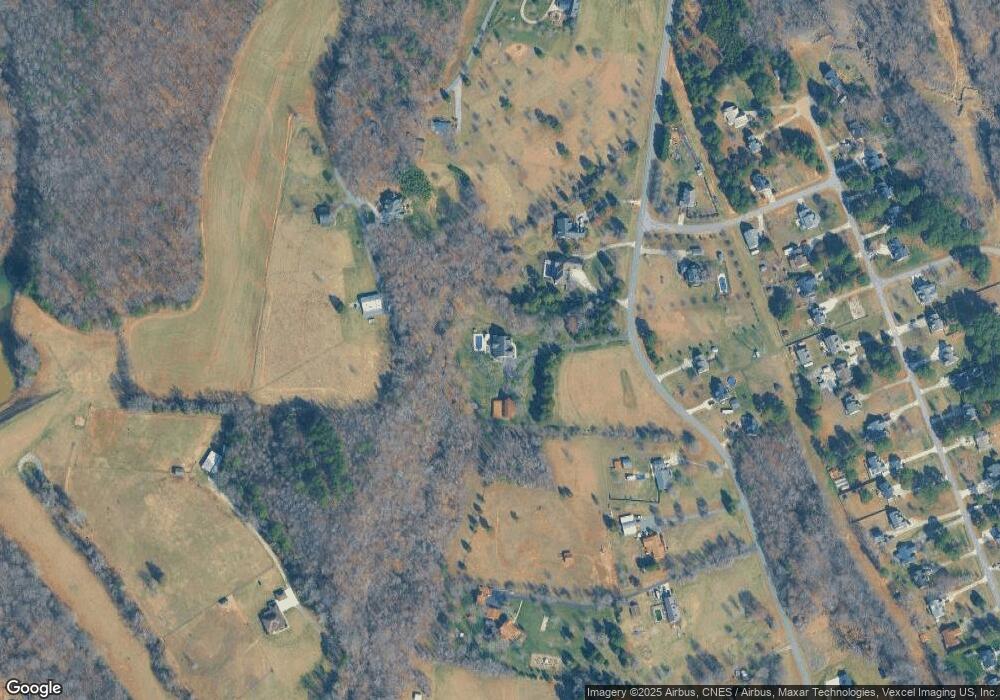
Map
Nearby Homes
- 540 Hoover Rd
- 173 Painted Bunting Dr
- 0 Hoover Rd
- 579 Hoover Rd
- 142 Arden Ct
- 144 Arden Ct
- 143 Arden Ct
- 135 Arden Ct
- 131 Arden Ct
- 146 Arden Ct
- 136 Arden Ct
- 207 Cassius Dr
- 206 Cassius Dr
- 212 Cassius Dr
- 208 Cassius Dr
- Dickenson Plan at Winecoff Village
- Crane Plan at Winecoff Village
- Frost Plan at Winecoff Village
- Whitman Plan at Winecoff Village
- 639 S Eastway Dr
- 374 Hoover Rd
- 362 Hoover Rd
- 181 Scotsman Dr
- 369 Hoover Rd
- 408 Hoover Rd
- 389 Hoover Rd
- 107 Marthas Vineyard
- 151 Scotsman Dr
- 395 Hoover Rd
- 420 Hoover Rd
- 401 Hoover Rd
- 430 Hoover Rd
- 120 Painted Bunting Dr
- 108 Painted Bunting Dr
- 124 Painted Bunting Dr
- 432 Hoover Rd
- 128 Painted Bunting Dr
- 132 Painted Bunting Dr
- 116 Painted Bunting Dr
- 100 Painted Bunting Dr