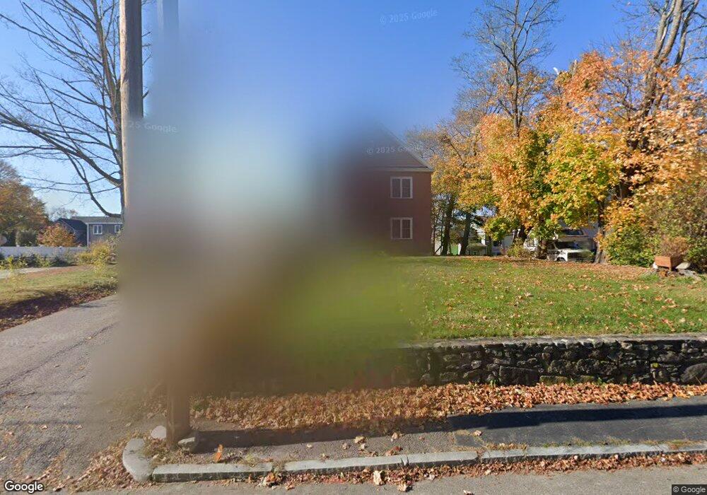
394 Massasoit Rd Worcester, MA 01604
Broadmeadow Brook NeighborhoodEstimated Value: $663,000 - $784,000
4
Beds
3
Baths
2,888
Sq Ft
$249/Sq Ft
Est. Value
About This Home
This home is located at 394 Massasoit Rd, Worcester, MA 01604 and is currently estimated at $717,926, approximately $248 per square foot. 394 Massasoit Rd is a home located in Worcester County with nearby schools including Jacob Hiatt Magnet School, Chandler Magnet, and Rice Square Elementary School.
Ownership History
Date
Name
Owned For
Owner Type
Purchase Details
Closed on
Aug 8, 2008
Sold by
Massasoit Road Llc
Bought by
Vuong Hanh and Vuong Hung
Current Estimated Value
Purchase Details
Closed on
May 7, 2008
Sold by
Lbm Financial Llc
Bought by
Massasoit Road Llc
Purchase Details
Closed on
Dec 20, 2005
Sold by
Maurice Bailin T and Yaffe Alan
Bought by
Plaudo Llc
Home Financials for this Owner
Home Financials are based on the most recent Mortgage that was taken out on this home.
Original Mortgage
$450,000
Interest Rate
6.34%
Mortgage Type
Purchase Money Mortgage
Create a Home Valuation Report for This Property
The Home Valuation Report is an in-depth analysis detailing your home's value as well as a comparison with similar homes in the area
Home Values in the Area
Average Home Value in this Area
Purchase History
| Date | Buyer | Sale Price | Title Company |
|---|---|---|---|
| Vuong Hanh | $125,000 | -- | |
| Massasoit Road Llc | $4,500 | -- | |
| Plaudo Llc | $450,000 | -- |
Source: Public Records
Mortgage History
| Date | Status | Borrower | Loan Amount |
|---|---|---|---|
| Previous Owner | Plaudo Llc | $450,000 |
Source: Public Records
Tax History
| Year | Tax Paid | Tax Assessment Tax Assessment Total Assessment is a certain percentage of the fair market value that is determined by local assessors to be the total taxable value of land and additions on the property. | Land | Improvement |
|---|---|---|---|---|
| 2025 | $8,814 | $668,200 | $118,500 | $549,700 |
| 2024 | $8,632 | $627,800 | $118,500 | $509,300 |
| 2023 | $8,439 | $588,500 | $103,000 | $485,500 |
| 2022 | $7,952 | $522,800 | $82,400 | $440,400 |
| 2021 | $7,891 | $484,700 | $65,900 | $418,800 |
| 2020 | $7,647 | $449,800 | $65,900 | $383,900 |
| 2019 | $7,686 | $427,000 | $59,400 | $367,600 |
| 2018 | $7,579 | $400,800 | $59,400 | $341,400 |
| 2017 | $7,534 | $392,000 | $59,400 | $332,600 |
| 2016 | $7,735 | $375,300 | $43,500 | $331,800 |
| 2015 | $7,532 | $375,300 | $43,500 | $331,800 |
| 2014 | $7,333 | $375,300 | $43,500 | $331,800 |
Source: Public Records
Map
Nearby Homes
- 3 Julien Ave
- 9 Marissa Cir
- 182 Weatherstone Dr
- 266 Massasoit Rd
- 259 Massasoit Rd
- 256 Massasoit Rd
- 25 Stoneham Rd
- 7 Clarissa St
- 1195 Grafton St Unit 29
- 1195 Grafton St Unit 39
- 53 Denver Terrace
- 6 Nathaniel St
- 8 Nightview Place
- 300 Millbury Ave
- 7 Barbara St
- 464-466 Granite St
- 460-462 Granite St
- 460-466 Granite St
- 12 Irene Ct
- 1459 Grafton Rd
- 396 Massasoit Rd
- 384 Massasoit Rd
- 9 Myrna Rd
- 9 Myrna St
- 398 Massasoit Rd
- 398 Massasoit Rd
- 398 Massasoit Rd Unit 1
- 1 Myrna Rd
- 382 Massasoit Rd
- 382 Massasoit Rd Unit 1
- 11 Myrna Rd
- 397 Massasoit Rd
- 389 Massasoit Rd
- 3 Myrna Rd
- 408 Massasoit Rd
- 1 Tamar Ave
- 378 Massasoit Rd
- 5 Sandra Dr
- 2 Bailin Dr
- 8 Brierway Dr
Your Personal Tour Guide
Ask me questions while you tour the home.