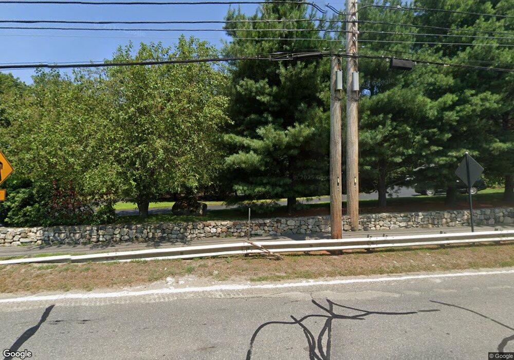
394 Maynard Rd Sudbury, MA 01776
Estimated Value: $1,742,957 - $2,027,000
4
Beds
6
Baths
5,731
Sq Ft
$330/Sq Ft
Est. Value
About This Home
This home is located at 394 Maynard Rd, Sudbury, MA 01776 and is currently estimated at $1,891,989, approximately $330 per square foot. 394 Maynard Rd is a home located in Middlesex County with nearby schools including General John Nixon Elementary School, Ephraim Curtis Middle School, and Lincoln-Sudbury Regional High School.
Ownership History
Date
Name
Owned For
Owner Type
Purchase Details
Closed on
Sep 3, 2003
Sold by
Maynard Road T and Santangelo Daniel O
Bought by
Obeirne Mary E and Obeirne Padraig
Current Estimated Value
Home Financials for this Owner
Home Financials are based on the most recent Mortgage that was taken out on this home.
Original Mortgage
$696,750
Outstanding Balance
$318,324
Interest Rate
6.02%
Mortgage Type
Purchase Money Mortgage
Estimated Equity
$1,573,665
Create a Home Valuation Report for This Property
The Home Valuation Report is an in-depth analysis detailing your home's value as well as a comparison with similar homes in the area
Home Values in the Area
Average Home Value in this Area
Purchase History
| Date | Buyer | Sale Price | Title Company |
|---|---|---|---|
| Obeirne Mary E | $929,000 | -- |
Source: Public Records
Mortgage History
| Date | Status | Borrower | Loan Amount |
|---|---|---|---|
| Open | Obeirne Mary E | $696,750 |
Source: Public Records
Tax History Compared to Growth
Tax History
| Year | Tax Paid | Tax Assessment Tax Assessment Total Assessment is a certain percentage of the fair market value that is determined by local assessors to be the total taxable value of land and additions on the property. | Land | Improvement |
|---|---|---|---|---|
| 2025 | $26,099 | $1,782,700 | $464,800 | $1,317,900 |
| 2024 | $25,068 | $1,715,800 | $451,200 | $1,264,600 |
| 2023 | $23,343 | $1,480,200 | $418,000 | $1,062,200 |
| 2022 | $22,886 | $1,267,900 | $383,600 | $884,300 |
| 2021 | $22,155 | $1,176,600 | $383,600 | $793,000 |
| 2020 | $21,708 | $1,176,600 | $383,600 | $793,000 |
| 2019 | $21,073 | $1,176,600 | $383,600 | $793,000 |
| 2018 | $20,293 | $1,131,800 | $403,600 | $728,200 |
| 2017 | $19,878 | $1,120,500 | $398,800 | $721,700 |
| 2016 | $18,339 | $1,030,300 | $383,600 | $646,700 |
| 2015 | $17,663 | $1,003,600 | $368,800 | $634,800 |
| 2014 | $17,505 | $970,900 | $358,000 | $612,900 |
Source: Public Records
Map
Nearby Homes
- 55 Widow Rites Ln
- 45 Widow Rites Ln
- 67 Old Marlboro Rd
- 111 Willis Rd
- 36 Thornberry Ln
- 47 Fairbank Rd
- 30 Harness Ln
- 57 Longfellow Rd
- 45 Greenwood Rd
- 63 Canterbury Dr
- 29 Longfellow Rd
- 9 Oak Ridge Dr Unit 6
- 5 Oak Ridge Dr Unit 7
- 67 Powder Mill Rd
- 15 Arthur St Unit 15
- 5 Hayes St Unit 5
- 13 Arthur St Unit 15
- 30-32 Walnut St
- 28 Waltham St Unit A
- 28 Waltham St Unit B
- 386 Maynard Rd
- 402 Maynard Rd
- 2 Wyman Dr
- 381 Maynard Rd
- 381 Maynard Rd
- 12 Wyman Dr
- 1 Lot 1a Wyman Dr
- LOT 10 Cutting Lane (22)
- Lot 9 Cutting Ln
- Lot 10 Cutting Ln
- Lot 1 Arboretum Way
- Lot 6 Arboretum Way
- Lot 2 Arboretum Way
- Lot 1A Arboretum Way
- 14 Arboretum Way
- 5 Wyman Dr
- Lot 3 Arboretum Way
- Lot 4 Arboretum Way
- 18 Arboretum Way
- 15 Wyman Dr
