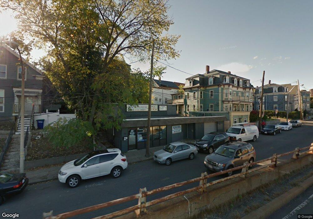
394 Mcgrath Hwy Somerville, MA 02143
Prospect Hill NeighborhoodEstimated Value: $1,025,000 - $3,171,000
--
Bed
2
Baths
3,850
Sq Ft
$516/Sq Ft
Est. Value
About This Home
This home is located at 394 Mcgrath Hwy, Somerville, MA 02143 and is currently estimated at $1,985,000, approximately $515 per square foot. 394 Mcgrath Hwy is a home located in Middlesex County with nearby schools including Somerville High School, Prospect Hill Academy Upper Elementary Campus, and Bright Future Educare Center.
Ownership History
Date
Name
Owned For
Owner Type
Purchase Details
Closed on
Jun 9, 2023
Sold by
Atlantis Properties Inc
Bought by
Ciania Holdings Llc
Current Estimated Value
Home Financials for this Owner
Home Financials are based on the most recent Mortgage that was taken out on this home.
Original Mortgage
$5,944,500
Outstanding Balance
$5,786,701
Interest Rate
6.43%
Mortgage Type
Purchase Money Mortgage
Estimated Equity
-$3,801,701
Create a Home Valuation Report for This Property
The Home Valuation Report is an in-depth analysis detailing your home's value as well as a comparison with similar homes in the area
Home Values in the Area
Average Home Value in this Area
Purchase History
| Date | Buyer | Sale Price | Title Company |
|---|---|---|---|
| Ciania Holdings Llc | $1,635,000 | None Available | |
| Ciania Holdings Llc | $1,635,000 | None Available |
Source: Public Records
Mortgage History
| Date | Status | Borrower | Loan Amount |
|---|---|---|---|
| Open | Ciania Holdings Llc | $5,944,500 | |
| Closed | Ciania Holdings Llc | $5,944,500 |
Source: Public Records
Tax History Compared to Growth
Tax History
| Year | Tax Paid | Tax Assessment Tax Assessment Total Assessment is a certain percentage of the fair market value that is determined by local assessors to be the total taxable value of land and additions on the property. | Land | Improvement |
|---|---|---|---|---|
| 2025 | $8,738 | $800,900 | $800,900 | $0 |
| 2024 | $19,287 | $1,059,700 | $800,900 | $258,800 |
| 2023 | $18,386 | $1,059,700 | $800,900 | $258,800 |
| 2022 | $17,856 | $1,059,700 | $800,900 | $258,800 |
| 2021 | $17,686 | $1,059,700 | $800,900 | $258,800 |
| 2020 | $17,294 | $1,059,700 | $800,900 | $258,800 |
| 2019 | $17,448 | $1,006,800 | $762,700 | $244,100 |
| 2018 | $18,033 | $990,300 | $762,700 | $227,600 |
| 2017 | $17,610 | $936,200 | $719,600 | $216,600 |
| 2016 | $13,837 | $685,700 | $500,400 | $185,300 |
| 2015 | $13,561 | $665,400 | $476,600 | $188,800 |
Source: Public Records
Map
Nearby Homes
- 25 Alston St
- 20 Alston St
- 142 Cross St
- 34 Knowlton St Unit 2
- 36 Fountain Ave
- 25 Auburn Ave Unit 2
- 85 A Munroe St Unit 1
- 39 Gilman St
- 76 Franklin St
- 84 Cross St
- 74 Gilman St Unit 1
- 30 Walnut St
- 38 Franklin Ave
- 28 Highland Ave Unit 3
- 8 Everett St
- 2 Hillside Ave
- 36 Everett Ave
- 57 Myrtle St
- 19 Everett Ave
- 43 Cross St
- 394 Mcgrath Hwy Unit 303
- 394 Mcgrath Hwy
- 394 Mcgrath Hwy Unit 404
- 394 Mcgrath Hwy Unit 402
- 394 Mcgrath Hwy Unit 401
- 394 Mcgrath Hwy Unit 302
- 394 Mcgrath Hwy Unit 202
- 394 Mcgrath Hwy Unit 403
- 392 Mcgrath Hwy
- 386 Mcgrath Hwy
- 386 Mcgrath Hwy Unit 1
- 386 Mcgrath Hwy Unit 2l
- 27 Boston St
- 8 Prospect Hill Ave
- 400 Mcgrath Hwy Unit 201
- 25 Boston St
- 382 Mcgrath Hwy
- 382 Mcgrath Hwy Unit 2l
- 382 Mcgrath Hwy Unit 1R
- 23 Boston St