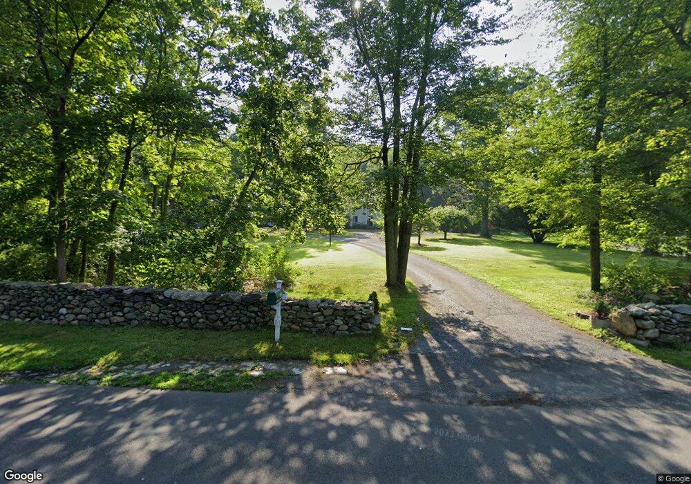
394 Middlesex Rd Darien, CT 06820
Estimated Value: $2,745,000 - $3,183,000
5
Beds
4
Baths
4,034
Sq Ft
$746/Sq Ft
Est. Value
About This Home
This home is located at 394 Middlesex Rd, Darien, CT 06820 and is currently estimated at $3,009,707, approximately $746 per square foot. 394 Middlesex Rd is a home located in Fairfield County with nearby schools including Ox Ridge Elementary School, Middlesex Middle School, and Darien High School.
Ownership History
Date
Name
Owned For
Owner Type
Purchase Details
Closed on
Dec 16, 1992
Sold by
Vanmunching Leo
Bought by
Hannon Gerard and Hannon Anne
Current Estimated Value
Home Financials for this Owner
Home Financials are based on the most recent Mortgage that was taken out on this home.
Original Mortgage
$460,000
Interest Rate
8.3%
Mortgage Type
Unknown
Purchase Details
Closed on
Aug 1, 1990
Sold by
Hetrick Albert
Bought by
Judge Jonathan
Home Financials for this Owner
Home Financials are based on the most recent Mortgage that was taken out on this home.
Original Mortgage
$450,000
Interest Rate
10.02%
Create a Home Valuation Report for This Property
The Home Valuation Report is an in-depth analysis detailing your home's value as well as a comparison with similar homes in the area
Home Values in the Area
Average Home Value in this Area
Purchase History
| Date | Buyer | Sale Price | Title Company |
|---|---|---|---|
| Hannon Gerard | $860,000 | -- | |
| Judge Jonathan | $750,000 | -- |
Source: Public Records
Mortgage History
| Date | Status | Borrower | Loan Amount |
|---|---|---|---|
| Open | Judge Jonathan | $480,000 | |
| Closed | Judge Jonathan | $460,000 | |
| Previous Owner | Judge Jonathan | $450,000 |
Source: Public Records
Tax History Compared to Growth
Tax History
| Year | Tax Paid | Tax Assessment Tax Assessment Total Assessment is a certain percentage of the fair market value that is determined by local assessors to be the total taxable value of land and additions on the property. | Land | Improvement |
|---|---|---|---|---|
| 2025 | $17,674 | $1,141,700 | $658,910 | $482,790 |
| 2024 | $16,772 | $1,141,700 | $658,910 | $482,790 |
| 2023 | $17,572 | $997,850 | $658,910 | $338,940 |
| 2022 | $17,193 | $997,850 | $658,910 | $338,940 |
| 2021 | $16,804 | $997,850 | $658,910 | $338,940 |
| 2020 | $16,325 | $997,850 | $658,910 | $338,940 |
| 2019 | $16,435 | $997,850 | $658,910 | $338,940 |
| 2018 | $19,020 | $1,182,860 | $760,270 | $422,590 |
| 2017 | $19,115 | $1,182,860 | $760,270 | $422,590 |
| 2016 | $18,654 | $1,182,860 | $760,270 | $422,590 |
| 2015 | $18,157 | $1,182,860 | $760,270 | $422,590 |
| 2014 | $17,755 | $1,182,860 | $760,270 | $422,590 |
Source: Public Records
Map
Nearby Homes
- 561 Middlesex Rd
- 10 Stony Brook Rd
- 5 Shields Ln
- 223 Middlesex Rd
- 17 Pine Brook Ln Unit 17
- 146 Ridge Acres Rd
- 76 Deepwood Rd
- 28 Crooked Mile Rd
- 20 Locust Hill Rd
- 19 Georgian Ln
- 17 Sunnyside Ave
- 20 Marianne Rd
- 166 Hollow Tree Ridge Rd
- 7 Tommys Ln
- 13 Patton Dr
- 77 Maple St
- 109 Stephen Mather Rd
- 85 Stephen Mather Rd
- 95 Columbus Place Unit 6
- 97 Richards Ave Unit B10
- 390 Middlesex Rd
- 400 Middlesex Rd
- 67 Saint Nicholas Rd
- 65 Saint Nicholas Rd
- 438 Middlesex Rd
- 388 Middlesex Rd
- 397 Middlesex Rd
- 393 Middlesex Rd
- 22 Fox Hill Ln
- 385 Middlesex Rd
- 69 Saint Nicholas Rd
- 69 Saint Nicholas Rd
- 440 Middlesex Rd
- 141 Hanson Rd
- 63 Saint Nicholas Rd
- 61 Saint Nicholas Rd
- 20 Fox Hill Ln
- 23 Fox Hill Ln
- 2 Althea Ln
- 375 Middlesex Rd