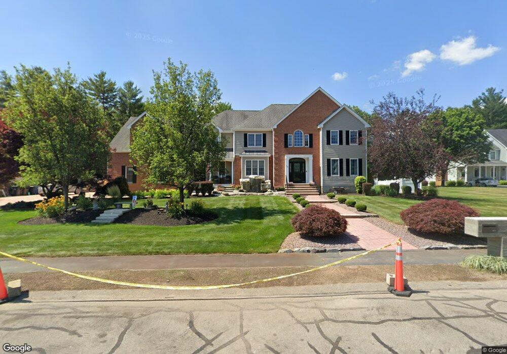
394 Mohawk Rd Raynham, MA 02767
Estimated Value: $1,061,000 - $1,424,000
7
Beds
5
Baths
5,981
Sq Ft
$202/Sq Ft
Est. Value
About This Home
This home is located at 394 Mohawk Rd, Raynham, MA 02767 and is currently estimated at $1,207,423, approximately $201 per square foot. 394 Mohawk Rd is a home located in Bristol County with nearby schools including Merrill Elementary School, LaLiberte Elementary School, and Williams Intermediate School.
Create a Home Valuation Report for This Property
The Home Valuation Report is an in-depth analysis detailing your home's value as well as a comparison with similar homes in the area
Home Values in the Area
Average Home Value in this Area
Tax History
| Year | Tax Paid | Tax Assessment Tax Assessment Total Assessment is a certain percentage of the fair market value that is determined by local assessors to be the total taxable value of land and additions on the property. | Land | Improvement |
|---|---|---|---|---|
| 2025 | $13,527 | $1,117,900 | $218,800 | $899,100 |
| 2024 | $13,333 | $1,073,500 | $218,800 | $854,700 |
| 2023 | $12,826 | $943,100 | $196,900 | $746,200 |
| 2022 | $12,106 | $816,300 | $179,000 | $637,300 |
| 2021 | $11,962 | $814,300 | $177,000 | $637,300 |
| 2020 | $11,648 | $808,300 | $171,000 | $637,300 |
| 2019 | $11,502 | $808,300 | $171,000 | $637,300 |
| 2018 | $11,182 | $750,500 | $167,100 | $583,400 |
| 2017 | $10,871 | $723,300 | $159,100 | $564,200 |
| 2016 | $10,010 | $668,200 | $153,900 | $514,300 |
| 2015 | $9,534 | $625,600 | $153,000 | $472,600 |
Source: Public Records
Map
Nearby Homes
- 4-B High Ridge Dr
- 2 Maplewood Ln Unit 21-1
- 0 Maplewood Unit 21.3 73426136
- 123 Center St
- 314 Britton St
- 634 Broadway
- 646 Broadway
- 84 Diniz Dr
- 33 White St
- 658 Broadway
- 138 Carver St
- 26 Nottingham Dr
- 13 Daisy Ave
- 19 Abbey Ln
- 9 Valley Forge Rd
- 173 Titicut Rd
- 191 Red Oak Terrace
- 11 Settlers Rd
- 54 Ann St
- 21 Sully Rd
Your Personal Tour Guide
Ask me questions while you tour the home.