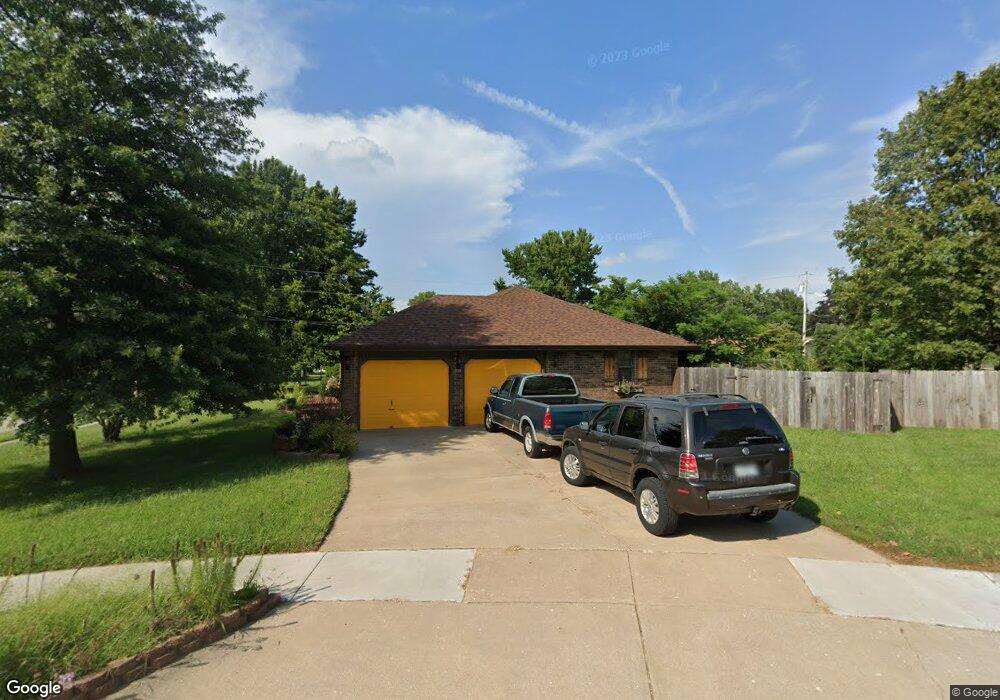
394 N George Ave Republic, MO 65738
Estimated Value: $222,000 - $266,000
3
Beds
2
Baths
1,467
Sq Ft
$163/Sq Ft
Est. Value
About This Home
This home is located at 394 N George Ave, Republic, MO 65738 and is currently estimated at $238,537, approximately $162 per square foot. 394 N George Ave is a home located in Greene County with nearby schools including Lyon Elementary School, Republic Middle School, and Republic High School.
Ownership History
Date
Name
Owned For
Owner Type
Purchase Details
Closed on
May 26, 2009
Sold by
Sanders Charles C and Sanders Carol L
Bought by
Wallace Nancy S and Wallace Nancy Sue
Current Estimated Value
Purchase Details
Closed on
Sep 21, 2007
Sold by
Mid Continent Group Llc and Holder Larry K
Bought by
Sanders Charles C and Sanders Carol L
Purchase Details
Closed on
Jul 10, 2007
Sold by
Blakey Joe B and Blakey Dianne C
Bought by
Mid Continent Group Llc
Purchase Details
Closed on
Apr 15, 2005
Sold by
Small Susan A
Bought by
Blakey Joe B and Blakey Dianne C
Create a Home Valuation Report for This Property
The Home Valuation Report is an in-depth analysis detailing your home's value as well as a comparison with similar homes in the area
Home Values in the Area
Average Home Value in this Area
Purchase History
| Date | Buyer | Sale Price | Title Company |
|---|---|---|---|
| Wallace Nancy S | -- | Choice Escrow & Land Title L | |
| Sanders Charles C | -- | None Available | |
| Mid Continent Group Llc | -- | None Available | |
| Blakey Joe B | -- | None Available |
Source: Public Records
Tax History Compared to Growth
Tax History
| Year | Tax Paid | Tax Assessment Tax Assessment Total Assessment is a certain percentage of the fair market value that is determined by local assessors to be the total taxable value of land and additions on the property. | Land | Improvement |
|---|---|---|---|---|
| 2025 | $1,561 | $31,650 | $5,700 | $25,950 |
| 2024 | $1,561 | $27,950 | $4,750 | $23,200 |
| 2023 | $1,532 | $27,950 | $4,750 | $23,200 |
| 2022 | $1,336 | $24,260 | $4,750 | $19,510 |
| 2021 | $1,328 | $24,260 | $4,750 | $19,510 |
| 2020 | $1,349 | $24,260 | $4,750 | $19,510 |
| 2019 | $1,344 | $24,260 | $4,750 | $19,510 |
| 2018 | $1,132 | $19,740 | $3,800 | $15,940 |
| 2017 | $1,122 | $18,510 | $3,800 | $14,710 |
| 2016 | $1,064 | $18,510 | $3,800 | $14,710 |
| 2015 | $1,060 | $18,510 | $3,800 | $14,710 |
| 2014 | $1,065 | $18,010 | $3,800 | $14,210 |
Source: Public Records
Map
Nearby Homes
- 1107 E Harrison St
- 303 N Fairwood Ave
- 1186 E Habersham St
- 1214 E Habersham St
- 115 S Redbud Ave
- 131 N Fairwood Ave
- 1513 E Charlton St
- 145 S Allen Ave
- 1537 E Charlton St
- 1559 E Charlton St
- 1597 E Charlton St
- 1820 E Hines St
- 1125 E Ritter St
- 970 N Austin Ln Unit Lot 5
- 960 N Lindsey Ave Unit Lot 16
- 1228 E Ritter St
- 969 N Austin Ln Unit Lot 21
- 990 N Austin Ln Unit Lot 6
- 990 N Lindsey Ave Unit Lot 17
- 00 N Boston Ln
- 368 N Blossom Ln
- 391 N Alexander Ave
- 409 N Alexander Ave
- 375 N Alexander Ave
- 365 N Blossom Ln
- 393 N George Ave
- 352 N Blossom Ln
- Lot 4 Tindell Subdivision
- 337 N Alexander Ave
- 410 N George Ave
- 411 N Alexander Ave
- 366 N George Ave
- 289 N Blossom Ln
- 391 N George Ave
- 826 E Lee St
- 299 N Alexander Ave
- 290 N Blossom Ln
- 388 N Alexander Ave
- 281 N Blossom Ln
- 418 N George Ave