394 Roe Rd Winlock, WA 98596
Estimated Value: $348,000 - $590,000
Studio
1
Bath
1,662
Sq Ft
$277/Sq Ft
Est. Value
About This Home
This home is located at 394 Roe Rd, Winlock, WA 98596 and is currently estimated at $460,477, approximately $277 per square foot. 394 Roe Rd is a home located in Lewis County with nearby schools including Winlock Miller Elementary School, Winolequa Learning Academy, and Winlock Middle School.
Ownership History
Date
Name
Owned For
Owner Type
Purchase Details
Closed on
Jul 23, 2024
Sold by
Nelson Clifford Dean
Bought by
Nelson Clifford and Nelson Joan
Current Estimated Value
Home Financials for this Owner
Home Financials are based on the most recent Mortgage that was taken out on this home.
Original Mortgage
$50,000
Outstanding Balance
$48,596
Interest Rate
6.95%
Mortgage Type
New Conventional
Estimated Equity
$411,881
Create a Home Valuation Report for This Property
The Home Valuation Report is an in-depth analysis detailing your home's value as well as a comparison with similar homes in the area
Purchase History
| Date | Buyer | Sale Price | Title Company |
|---|---|---|---|
| Nelson Clifford | -- | Title Guaranty |
Source: Public Records
Mortgage History
| Date | Status | Borrower | Loan Amount |
|---|---|---|---|
| Open | Nelson Clifford | $50,000 |
Source: Public Records
Tax History
| Year | Tax Paid | Tax Assessment Tax Assessment Total Assessment is a certain percentage of the fair market value that is determined by local assessors to be the total taxable value of land and additions on the property. | Land | Improvement |
|---|---|---|---|---|
| 2024 | $2,465 | $342,600 | $84,900 | $257,700 |
| 2023 | $2,365 | $316,800 | $69,400 | $247,400 |
| 2022 | $2,262 | $243,200 | $54,600 | $188,600 |
| 2021 | $2,131 | $243,200 | $54,600 | $188,600 |
| 2020 | $2,395 | $209,200 | $47,700 | $161,500 |
| 2019 | $2,301 | $219,500 | $41,600 | $177,900 |
| 2018 | $2,218 | $203,800 | $36,500 | $167,300 |
| 2017 | $2,017 | $180,500 | $36,500 | $144,000 |
Source: Public Records
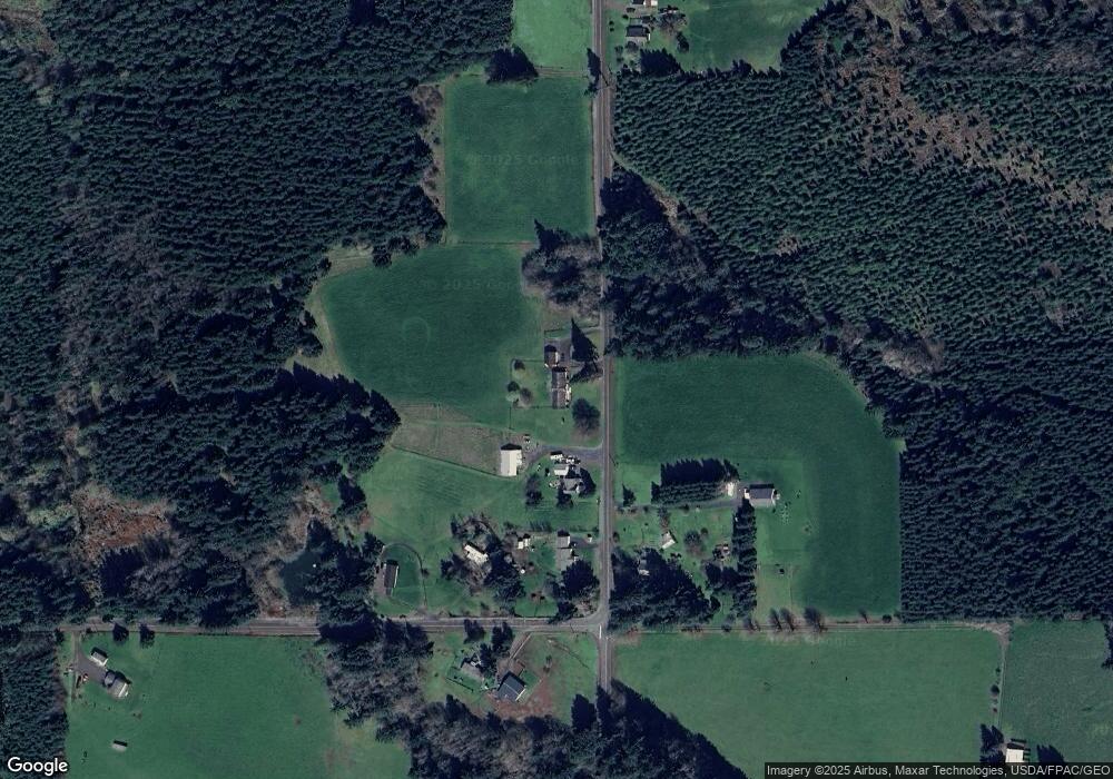
Map
Nearby Homes
- 0 xx Maxine Dr
- 1493 Ferrier Rd
- 101 Walter Rd
- 196 Allman Rd
- 1377 Hining Rd
- 0 NA Nikula Rd
- 110 Grande Vista Dr
- 219 Jones Rd
- 0 Winter Rd
- 646 Prominence St
- 628 Prominence St
- 632 Prominence St
- 636 Prominence St
- 1009 SE 1st St
- 782 S Military Rd
- 0 SE Rice-Multiple Mdr Ldr Parcels
- 810 SE 1st St
- 248 Coma Rd
- 418 SW Canyon Loop
- 312 SE Front St
Your Personal Tour Guide
Ask me questions while you tour the home.