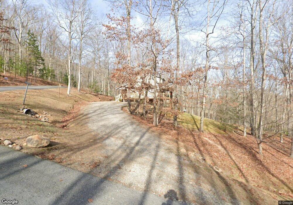
394 Sheep Stomp Rd Blairsville, GA 30512
Estimated Value: $424,597 - $485,000
2
Beds
2
Baths
1,212
Sq Ft
$374/Sq Ft
Est. Value
About This Home
This home is located at 394 Sheep Stomp Rd, Blairsville, GA 30512 and is currently estimated at $452,899, approximately $373 per square foot. 394 Sheep Stomp Rd is a home located in Union County with nearby schools including Union County Primary School, Union County Elementary School, and Union County Middle School.
Ownership History
Date
Name
Owned For
Owner Type
Purchase Details
Closed on
May 4, 2007
Sold by
Lyc Inc
Bought by
Grizzle Timothy J
Current Estimated Value
Home Financials for this Owner
Home Financials are based on the most recent Mortgage that was taken out on this home.
Original Mortgage
$186,302
Interest Rate
6.12%
Mortgage Type
New Conventional
Create a Home Valuation Report for This Property
The Home Valuation Report is an in-depth analysis detailing your home's value as well as a comparison with similar homes in the area
Home Values in the Area
Average Home Value in this Area
Purchase History
| Date | Buyer | Sale Price | Title Company |
|---|---|---|---|
| Grizzle Timothy J | $50,000 | -- |
Source: Public Records
Mortgage History
| Date | Status | Borrower | Loan Amount |
|---|---|---|---|
| Closed | Grizzle Timothy J | $186,302 |
Source: Public Records
Tax History Compared to Growth
Tax History
| Year | Tax Paid | Tax Assessment Tax Assessment Total Assessment is a certain percentage of the fair market value that is determined by local assessors to be the total taxable value of land and additions on the property. | Land | Improvement |
|---|---|---|---|---|
| 2024 | $1,917 | $162,320 | $20,840 | $141,480 |
| 2023 | $2,111 | $158,560 | $20,840 | $137,720 |
| 2022 | $1,644 | $123,520 | $13,760 | $109,760 |
| 2021 | $1,621 | $102,880 | $13,760 | $89,120 |
| 2020 | $1,310 | $69,236 | $14,688 | $54,548 |
| 2019 | $1,238 | $69,236 | $14,688 | $54,548 |
| 2018 | $1,216 | $69,236 | $14,688 | $54,548 |
| 2017 | $1,216 | $69,236 | $14,688 | $54,548 |
| 2016 | $1,217 | $69,236 | $14,688 | $54,548 |
| 2015 | $1,227 | $69,236 | $14,688 | $54,548 |
| 2013 | -- | $69,235 | $14,688 | $54,547 |
Source: Public Records
Map
Nearby Homes
- 125 Spivey Ridge Rd
- 435 Richlen Ridge Rd
- LOT 10 Hawks Nest Rd Unit 10
- lot 8 Hawks Nest Rd
- 10 W Hawks Nest Rd
- 305 Kimbolton Dr
- LT 53 Clay Dr
- 33 Carley Dr
- 266 Mabry Ln
- 357 Wise Rd
- 127 Hard Rock Hill
- 63 Rolling Hills
- 34 Amber Way Unit 1
- 34 Amber Way
- 70 Martys Dr
- 542 Sharp Top Cir
- TBD Alex Way
- 3.52 AC Payne Way
- 8 AC Payne Way
- 509 Wisteria Ln
- 43 Grayson Ln S
- 437 Sheep Stomp Rd
- 17 Grayson Ln S
- LT15 Sheep Stomp Rd
- LT 19 Sheep Stomp Rd
- LT 24 Sheep Stomp Rd
- LT 23 Sheep Stomp Rd
- LT 8 Sheep Stomp Rd
- LT 3 Sheep Stomp Rd
- LT 2 Sheep Stomp Rd
- LT 1 Sheep Stomp Rd
- LT 6 Sheep Stomp Rd
- LT 7 Sheep Stomp Rd
- 570 Sheep Stomp Rd
- LT 11 Campground Rd
- LT 12 Campground Rd
- LT 10 Campground Rd
- LOT 9 Campground Rd
- LT 7 Campground Rd
- 362 Reeves Rd