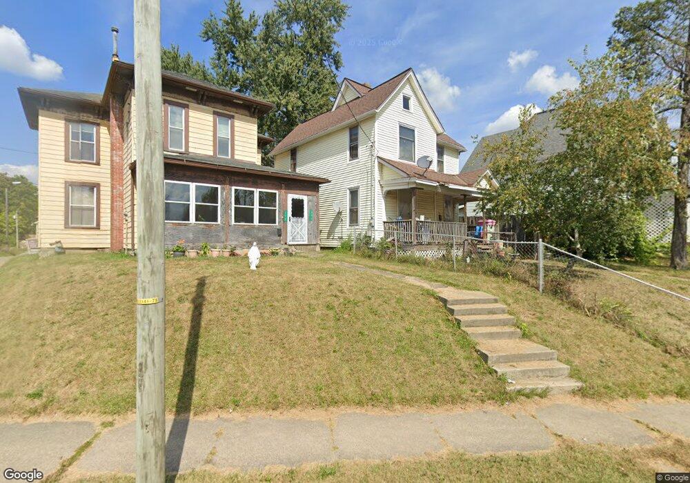
394 Springmill St Mansfield, OH 44903
Estimated Value: $46,000 - $99,000
3
Beds
1
Bath
1,559
Sq Ft
$53/Sq Ft
Est. Value
About This Home
This home is located at 394 Springmill St, Mansfield, OH 44903 and is currently estimated at $82,307, approximately $52 per square foot. 394 Springmill St is a home located in Richland County with nearby schools including Goal Digital Academy, St. Peter's Elementary/Montessori School, and St. Peter's Junior High / High School.
Ownership History
Date
Name
Owned For
Owner Type
Purchase Details
Closed on
Sep 30, 2019
Sold by
Lozier Cheryl and Sargent Bradford
Bought by
Sargent Carol
Current Estimated Value
Purchase Details
Closed on
Feb 6, 2019
Sold by
Estate Of Sandra K Wsargent
Bought by
Sargent Carol and Lozier Chery
Purchase Details
Closed on
May 30, 2007
Sold by
Old House Rentals #2 Ltd
Bought by
Sargent Sandra K
Home Financials for this Owner
Home Financials are based on the most recent Mortgage that was taken out on this home.
Original Mortgage
$17,850
Interest Rate
6.25%
Mortgage Type
Purchase Money Mortgage
Create a Home Valuation Report for This Property
The Home Valuation Report is an in-depth analysis detailing your home's value as well as a comparison with similar homes in the area
Home Values in the Area
Average Home Value in this Area
Purchase History
| Date | Buyer | Sale Price | Title Company |
|---|---|---|---|
| Sargent Carol | -- | None Available | |
| Sargent Carol | -- | None Available | |
| Sargent Sandra K | $19,900 | Chicago Title |
Source: Public Records
Mortgage History
| Date | Status | Borrower | Loan Amount |
|---|---|---|---|
| Previous Owner | Sargent Sandra K | $17,850 |
Source: Public Records
Tax History
| Year | Tax Paid | Tax Assessment Tax Assessment Total Assessment is a certain percentage of the fair market value that is determined by local assessors to be the total taxable value of land and additions on the property. | Land | Improvement |
|---|---|---|---|---|
| 2024 | $712 | $15,560 | $1,160 | $14,400 |
| 2023 | $729 | $15,560 | $1,160 | $14,400 |
| 2022 | $231 | $4,140 | $920 | $3,220 |
| 2021 | $233 | $4,140 | $920 | $3,220 |
| 2020 | $238 | $4,140 | $920 | $3,220 |
| 2019 | $185 | $11,650 | $990 | $10,660 |
| 2018 | $182 | $11,650 | $990 | $10,660 |
| 2017 | $151 | $11,650 | $990 | $10,660 |
| 2016 | $126 | $10,740 | $1,560 | $9,180 |
| 2015 | $126 | $10,740 | $1,560 | $9,180 |
| 2014 | $59 | $10,740 | $1,560 | $9,180 |
| 2012 | $91 | $10,750 | $1,650 | $9,100 |
Source: Public Records
Map
Nearby Homes
- 524 Lida St
- 0 Voegele Ave Unit Lot 6048, 6049, 6
- 580 N Mulberry St
- 118 Raymond Ave
- 219 W 5th St
- 368 W 6th St
- 344 W 5th St
- 0 Grant Rd Unit 5190994
- 701 Springmill St
- 245 W 4th St
- 447 Spayer Ln
- 224 Atcheson Ave
- 516 Burns St
- 0 Lot #23128 Unit 9069815
- 10 Gray Ct
- 458 W West Dickson Ave
- 0 Highway 30
- 38 Penn Ave
- 230 Rae Ave
- 519 Heineman Blvd
- 398 Springmill St
- 388 Springmill St
- 386-388 Springmill St
- 386 Springmill St
- 378 Springmill St
- 137 Vale Ave
- 147 Vale Ave
- 391 Springmill St
- 395 Springmill St
- 399 Springmill St
- 151 Vale Ave
- 143 Vale Ave
- 389 N Mulberry St
- 383 N Mulberry St
- 155 Vale Ave
- 409 Springmill St
- 135 Vale Ave
- 393 N Mulberry St
- 370 Springmill St
- 397 N Mulberry St
Your Personal Tour Guide
Ask me questions while you tour the home.