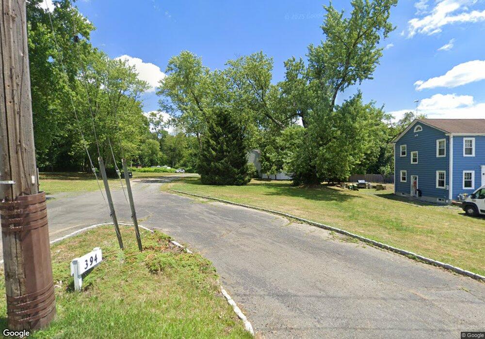
394 State Route 79 Morganville, NJ 07751
Estimated Value: $656,518
--
Bed
--
Bath
2,128
Sq Ft
$309/Sq Ft
Est. Value
About This Home
This home is located at 394 State Route 79, Morganville, NJ 07751 and is currently estimated at $656,518, approximately $308 per square foot. 394 State Route 79 is a home with nearby schools including Frank Defino Central Elementary School, Marlboro Memorial Middle School, and Marlboro High School.
Ownership History
Date
Name
Owned For
Owner Type
Purchase Details
Closed on
Mar 1, 2019
Sold by
Lukach Ronald and Lukach Patricia
Bought by
394 Route 79 Llc
Current Estimated Value
Home Financials for this Owner
Home Financials are based on the most recent Mortgage that was taken out on this home.
Original Mortgage
$340,000
Outstanding Balance
$298,918
Interest Rate
4.4%
Mortgage Type
Future Advance Clause Open End Mortgage
Estimated Equity
$357,600
Purchase Details
Closed on
Sep 19, 1986
Bought by
Lukach Ronald and Lukach Patricia
Create a Home Valuation Report for This Property
The Home Valuation Report is an in-depth analysis detailing your home's value as well as a comparison with similar homes in the area
Home Values in the Area
Average Home Value in this Area
Purchase History
| Date | Buyer | Sale Price | Title Company |
|---|---|---|---|
| 394 Route 79 Llc | $435,000 | Evident Title Agency Inc | |
| Lukach Ronald | $109,900 | -- |
Source: Public Records
Mortgage History
| Date | Status | Borrower | Loan Amount |
|---|---|---|---|
| Open | 394 Route 79 Llc | $340,000 |
Source: Public Records
Tax History Compared to Growth
Tax History
| Year | Tax Paid | Tax Assessment Tax Assessment Total Assessment is a certain percentage of the fair market value that is determined by local assessors to be the total taxable value of land and additions on the property. | Land | Improvement |
|---|---|---|---|---|
| 2025 | $11,187 | $443,400 | $184,000 | $259,400 |
| 2024 | $10,704 | $443,400 | $184,000 | $259,400 |
| 2023 | $10,704 | $443,400 | $184,000 | $259,400 |
| 2022 | $10,794 | $443,400 | $184,000 | $259,400 |
| 2021 | $10,647 | $460,100 | $184,000 | $276,100 |
| 2020 | $10,638 | $460,100 | $184,000 | $276,100 |
| 2019 | $10,647 | $460,100 | $184,000 | $276,100 |
| 2018 | $10,463 | $460,100 | $184,000 | $276,100 |
| 2017 | $10,260 | $460,100 | $184,000 | $276,100 |
| 2016 | $10,219 | $460,100 | $184,000 | $276,100 |
| 2015 | $10,327 | $472,000 | $184,000 | $288,000 |
| 2014 | $9,724 | $439,600 | $184,000 | $255,600 |
Source: Public Records
Map
Nearby Homes
- 390 State Route 79
- 390 Route 79 N
- 388 State Route 79
- 386 State Route 79
- 386 State Route 79
- 391 State Route 79
- 385 State Route 79
- 400 State Route 79
- 387 State Route 79
- 382 State Route 79
- 402 State Route 79
- 379 State Route 79
- 379 State Route 79
- 397 State Route 79
- 378 State Route 79
- 406 State Route 79
- 3 Brown Rd
- 381 State Route 79
- 376 Highway 79
- 376 State Route 79