394 Thornton Rd La Fayette, GA 30728
Estimated Value: $232,000 - $549,839
--
Bed
1
Bath
1,200
Sq Ft
$326/Sq Ft
Est. Value
About This Home
This home is located at 394 Thornton Rd, La Fayette, GA 30728 and is currently estimated at $390,920, approximately $325 per square foot. 394 Thornton Rd is a home located in Walker County with nearby schools including Naomi Elementary School, Lafayette Middle School, and Lafayette High School.
Ownership History
Date
Name
Owned For
Owner Type
Purchase Details
Closed on
Aug 24, 2012
Sold by
Davidson Phillip Lance
Bought by
David Michael Keith
Current Estimated Value
Purchase Details
Closed on
Sep 22, 2011
Sold by
Nelson Michael
Bought by
Davidson Phillip Lance
Purchase Details
Closed on
Jan 2, 2004
Sold by
Shattuck Kevin B
Bought by
Nelson Michael
Purchase Details
Closed on
Dec 29, 2003
Sold by
Nelson Michael
Bought by
Shattuck Kevin B
Purchase Details
Closed on
Oct 8, 2003
Sold by
Shattuck Kevin B
Bought by
Nelson Michael
Purchase Details
Closed on
Oct 20, 1998
Bought by
Shattuck Kevin B
Create a Home Valuation Report for This Property
The Home Valuation Report is an in-depth analysis detailing your home's value as well as a comparison with similar homes in the area
Home Values in the Area
Average Home Value in this Area
Purchase History
| Date | Buyer | Sale Price | Title Company |
|---|---|---|---|
| David Michael Keith | -- | -- | |
| Davidson Phillip Lance | $75,000 | -- | |
| Nelson Michael | $3,000 | -- | |
| Shattuck Kevin B | -- | -- | |
| Nelson Michael | $11,100 | -- | |
| Shattuck Kevin B | -- | -- |
Source: Public Records
Tax History Compared to Growth
Tax History
| Year | Tax Paid | Tax Assessment Tax Assessment Total Assessment is a certain percentage of the fair market value that is determined by local assessors to be the total taxable value of land and additions on the property. | Land | Improvement |
|---|---|---|---|---|
| 2024 | $4,043 | $218,778 | $63,488 | $155,290 |
| 2023 | $4,301 | $217,835 | $50,388 | $167,447 |
| 2022 | $3,878 | $162,659 | $18,467 | $144,192 |
| 2021 | $3,455 | $132,413 | $18,467 | $113,946 |
| 2020 | $2,936 | $109,086 | $18,467 | $90,619 |
| 2019 | $2,983 | $109,086 | $18,467 | $90,619 |
| 2018 | $2,886 | $109,086 | $18,467 | $90,619 |
Source: Public Records
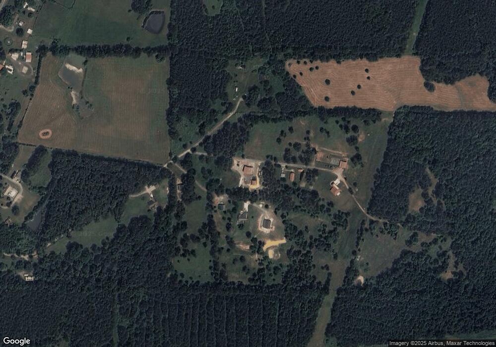
Map
Nearby Homes
- 7606 Highway 95
- 176 Turkey Ridge Rd
- 901 Dunwoody Rd
- 1039 Dunwoody Rd
- 635 Cook Rd
- 0 Windy Meadow Dr Unit 10534698
- 0 Jack Dr
- 1934 Round Pond Rd
- 9724 Georgia 136
- 139 Harris Ln
- 253 Wesley Rd
- 450 Arnold Ln
- 1121 York Rd
- 1052 Huffman Rd
- 34 + - Acre On Ga Hwy 337
- 121 Stock Dog Ln
- 1128 W Armuchee Rd
- 34 Kemp Rd
- E Armuchee Rd
- 0 Highway 27 S Unit 1512699
- 372 Thornton Rd
- 488 Thornton Rd
- 314 Thornton Rd
- 301 Thornton Rd
- 5422 Thornton Rd
- 4165 Highway 151
- 4165 Hwy 151
- 4205 Georgia 151
- 4205 Highway 151
- 91 Thornton Rd
- 4225 Highway 151
- 4345 Highway 151
- 3933 Highway 151
- 4125 Highway 151
- 4047 Highway 151
- 4011 Highway 151
- 4523 Highway 151
- 5865 E Highway 136
- 4056 Georgia 151
- 4056 Highway 151