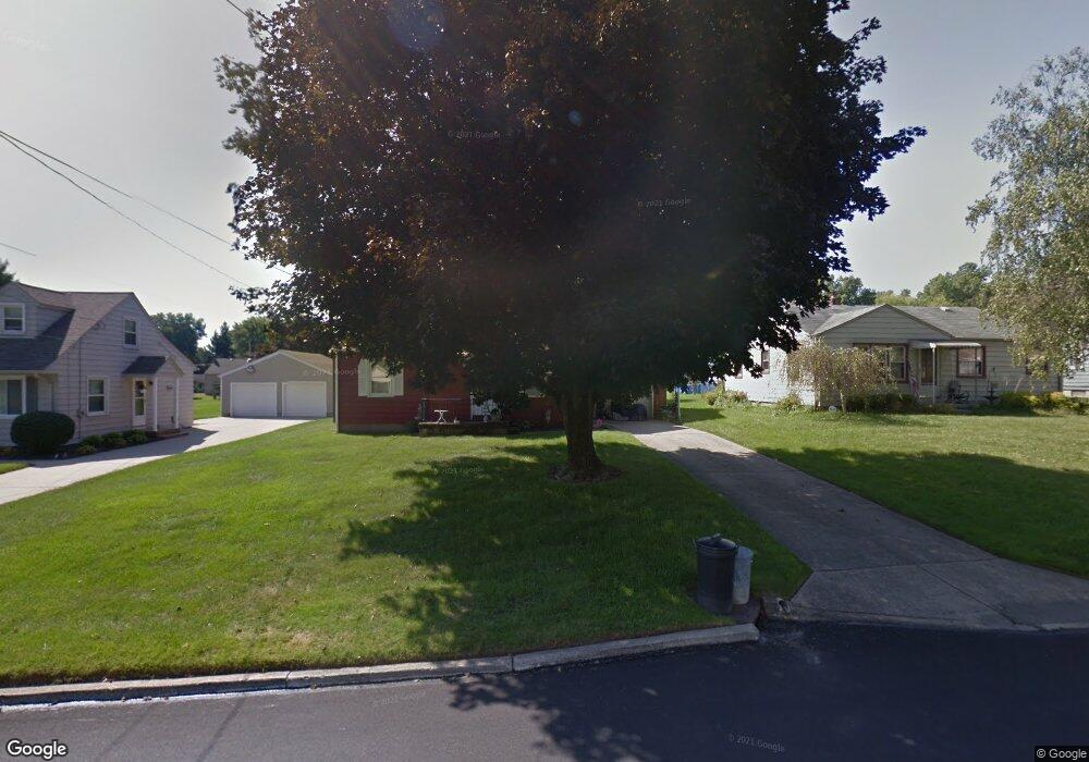
394 W Harvey St Struthers, OH 44471
Estimated Value: $148,600 - $174,000
3
Beds
1
Bath
1,308
Sq Ft
$125/Sq Ft
Est. Value
About This Home
This home is located at 394 W Harvey St, Struthers, OH 44471 and is currently estimated at $163,900, approximately $125 per square foot. 394 W Harvey St is a home located in Mahoning County with nearby schools including Struthers Elementary School, Struthers Middle School, and Struthers High School.
Ownership History
Date
Name
Owned For
Owner Type
Purchase Details
Closed on
Oct 9, 2024
Sold by
Norma J Gonda Family Trust and Hill Janet L
Bought by
William A Gonda Irrevocable Trust and Hill
Current Estimated Value
Purchase Details
Closed on
Mar 7, 2005
Sold by
Gonda Norma A
Bought by
Gonda Norma J and The Norma J Gonda Family Trust #1
Purchase Details
Closed on
Sep 27, 2002
Sold by
Dyer William G
Bought by
Gonda Norma J
Create a Home Valuation Report for This Property
The Home Valuation Report is an in-depth analysis detailing your home's value as well as a comparison with similar homes in the area
Home Values in the Area
Average Home Value in this Area
Purchase History
| Date | Buyer | Sale Price | Title Company |
|---|---|---|---|
| William A Gonda Irrevocable Trust | -- | None Listed On Document | |
| William A Gonda Irrevocable Trust | -- | None Listed On Document | |
| Gonda Norma J | -- | -- | |
| Gonda Norma J | $17,500 | -- |
Source: Public Records
Tax History
| Year | Tax Paid | Tax Assessment Tax Assessment Total Assessment is a certain percentage of the fair market value that is determined by local assessors to be the total taxable value of land and additions on the property. | Land | Improvement |
|---|---|---|---|---|
| 2025 | $1,174 | $38,320 | $5,010 | $33,310 |
| 2024 | $1,596 | $38,320 | $5,010 | $33,310 |
| 2023 | $1,194 | $38,320 | $5,010 | $33,310 |
| 2022 | $971 | $26,700 | $4,710 | $21,990 |
| 2021 | $963 | $26,700 | $4,710 | $21,990 |
| 2020 | $967 | $26,700 | $4,710 | $21,990 |
| 2019 | $860 | $23,220 | $4,100 | $19,120 |
| 2018 | $820 | $23,220 | $4,100 | $19,120 |
| 2017 | $817 | $23,220 | $4,100 | $19,120 |
| 2016 | $910 | $25,240 | $4,780 | $20,460 |
| 2015 | $889 | $25,240 | $4,780 | $20,460 |
| 2014 | $892 | $25,240 | $4,780 | $20,460 |
| 2013 | $829 | $25,240 | $4,780 | $20,460 |
Source: Public Records
Map
Nearby Homes
- 453 W Omar St
- 1054 Runge Ave
- 250 E Manor Ave
- 795 5th St
- 2370 Lyon Blvd
- 587 Edison St
- 2089 Shetland Ln
- 0 Smithfield St Unit 4336782
- 2301 Lyon Blvd
- 227 Wilson St
- 611 W Wilson St
- 627 Poland Ave
- 2350 Hamilton Ave
- 5710 Youngstown Poland Rd
- 143 Wilson St
- 59 Harvey St
- 457 Sexton St
- 1933 Brandon Ave
- 531 Audrey Ln
- 281 Sexton St
- 386 W Harvey St
- 380 W Harvey St
- 408 W Harvey St
- 399 W Omar St
- 407 W Omar St
- 391 W Omar St
- 376 W Harvey St
- 416 W Harvey St
- 413 W Omar St
- 389 W Harvey St
- 405 W Harvey St
- 383 W Harvey St
- 411 W Harvey St
- 379 W Omar St
- 370 W Harvey St
- 424 W Harvey St
- 419 W Harvey St
- 429 W Omar St
- 373 W Omar St
- 371 W Harvey St
Your Personal Tour Guide
Ask me questions while you tour the home.