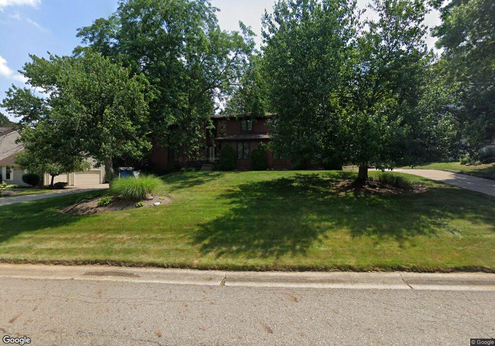
3940 Bramshaw Rd NW Canton, OH 44718
Estimated Value: $352,406 - $407,000
3
Beds
3
Baths
2,460
Sq Ft
$156/Sq Ft
Est. Value
About This Home
This home is located at 3940 Bramshaw Rd NW, Canton, OH 44718 and is currently estimated at $383,602, approximately $155 per square foot. 3940 Bramshaw Rd NW is a home located in Stark County with nearby schools including Lake Cable Elementary School, Jackson Memorial Middle School, and Jackson High School.
Ownership History
Date
Name
Owned For
Owner Type
Purchase Details
Closed on
Apr 7, 2008
Sold by
Mourad Connie M
Bought by
Dietz Timothy D and Dietz Lisa D
Current Estimated Value
Home Financials for this Owner
Home Financials are based on the most recent Mortgage that was taken out on this home.
Original Mortgage
$164,800
Outstanding Balance
$105,100
Interest Rate
6.1%
Mortgage Type
Purchase Money Mortgage
Estimated Equity
$278,502
Purchase Details
Closed on
May 16, 2002
Sold by
Robison Victoria M
Bought by
Mourad Connie M
Home Financials for this Owner
Home Financials are based on the most recent Mortgage that was taken out on this home.
Original Mortgage
$164,700
Interest Rate
7.16%
Mortgage Type
Purchase Money Mortgage
Purchase Details
Closed on
May 30, 2001
Sold by
Kalkman Rod J and Kalkman Roseann
Bought by
Robinson Victoria M
Home Financials for this Owner
Home Financials are based on the most recent Mortgage that was taken out on this home.
Original Mortgage
$175,500
Interest Rate
7.23%
Mortgage Type
Purchase Money Mortgage
Create a Home Valuation Report for This Property
The Home Valuation Report is an in-depth analysis detailing your home's value as well as a comparison with similar homes in the area
Home Values in the Area
Average Home Value in this Area
Purchase History
| Date | Buyer | Sale Price | Title Company |
|---|---|---|---|
| Dietz Timothy D | $206,000 | None Available | |
| Mourad Connie M | $183,000 | -- | |
| Robinson Victoria M | -- | -- |
Source: Public Records
Mortgage History
| Date | Status | Borrower | Loan Amount |
|---|---|---|---|
| Open | Dietz Timothy D | $164,800 | |
| Closed | Mourad Connie M | $164,700 | |
| Previous Owner | Robinson Victoria M | $175,500 |
Source: Public Records
Tax History Compared to Growth
Tax History
| Year | Tax Paid | Tax Assessment Tax Assessment Total Assessment is a certain percentage of the fair market value that is determined by local assessors to be the total taxable value of land and additions on the property. | Land | Improvement |
|---|---|---|---|---|
| 2025 | -- | $108,610 | $29,050 | $79,560 |
| 2024 | -- | $108,610 | $29,050 | $79,560 |
| 2023 | $4,297 | $86,350 | $24,190 | $62,160 |
| 2022 | $4,277 | $86,350 | $24,190 | $62,160 |
| 2021 | $4,293 | $86,350 | $24,190 | $62,160 |
| 2020 | $4,067 | $75,180 | $20,860 | $54,320 |
| 2019 | $3,917 | $75,180 | $20,860 | $54,320 |
| 2018 | $3,937 | $75,180 | $20,860 | $54,320 |
| 2017 | $3,947 | $71,720 | $18,240 | $53,480 |
| 2016 | $3,973 | $71,720 | $18,240 | $53,480 |
| 2015 | $4,022 | $71,720 | $18,240 | $53,480 |
| 2014 | $1,786 | $64,550 | $16,630 | $47,920 |
| 2013 | $1,863 | $64,550 | $16,630 | $47,920 |
Source: Public Records
Map
Nearby Homes
- 0 Hills And Dales Rd NW Unit 5138797
- 5352 Hills And Dales Rd NW
- 4184 Meadowview Dr NW
- 4277 Skycrest Dr NW
- 4313 Skycrest Dr NW
- 3722 Old Hickory Ave NW Unit 3A
- 4300 Skycrest Dr NW
- 5919 Snowshoe Cir NW
- 5879 Hawks Nest Cir NW
- 5877 Hawks Nest Cir NW
- 4464 Edwin Dr NW
- 5875 Hawks Nest Cir NW
- 5869 Hawks Nest Cir NW
- 5867 Hawks Nest Cir NW
- 4482 Edwin Dr NW
- 5853 Hawks Nest Cir NW
- 5878 Hawks Nest Cir NW Unit 16B
- 5851 Hawks Nest Cir NW
- 5848 Hawks Nest Cir NW
- 5846 Hawks Nest Cir NW
- 3922 Bramshaw Rd NW
- 3941 Ashford St NW
- 3961 Ashford St NW
- 3927 Ashford St NW
- 3939 Bramshaw Rd NW
- 3902 Bramshaw Rd NW
- 3978 Bramshaw Rd NW
- 3959 Bramshaw Rd NW
- 3921 Bramshaw Rd NW
- 3981 Ashford St NW
- 5426 Blackthorne St NW
- 3977 Bramshaw Rd NW
- 3901 Bramshaw Rd NW
- 4010 Bramshaw Rd NW
- 5405 Blackthorne St NW
- 4005 Bramshaw Rd NW
- 3999 Ashford St NW
- 5404 Blackthorne St NW
- 4030 Bramshaw Rd NW
- 3994 Ashford St NW