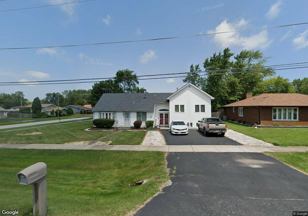
3940 Flossmoor Rd Flossmoor, IL 60422
Estimated Value: $257,322 - $398,000
6
Beds
3
Baths
3,247
Sq Ft
$102/Sq Ft
Est. Value
About This Home
This home is located at 3940 Flossmoor Rd, Flossmoor, IL 60422 and is currently estimated at $330,331, approximately $101 per square foot. 3940 Flossmoor Rd is a home located in Cook County with nearby schools including Flossmoor Hills Elementary School, Parker Junior High School, and Homewood-Flossmoor High School.
Ownership History
Date
Name
Owned For
Owner Type
Purchase Details
Closed on
Jul 25, 2006
Sold by
Rheams Denise C
Bought by
Livi Rheams Denise C and Denise C Rheams Revocable Living Trust
Current Estimated Value
Purchase Details
Closed on
Sep 25, 2003
Sold by
Rheams Joseph
Bought by
Rheams Denise C
Home Financials for this Owner
Home Financials are based on the most recent Mortgage that was taken out on this home.
Original Mortgage
$198,750
Interest Rate
8.25%
Mortgage Type
Unknown
Create a Home Valuation Report for This Property
The Home Valuation Report is an in-depth analysis detailing your home's value as well as a comparison with similar homes in the area
Home Values in the Area
Average Home Value in this Area
Purchase History
| Date | Buyer | Sale Price | Title Company |
|---|---|---|---|
| Livi Rheams Denise C | -- | None Available | |
| Rheams Denise C | -- | -- |
Source: Public Records
Mortgage History
| Date | Status | Borrower | Loan Amount |
|---|---|---|---|
| Closed | Rheams Denise C | $198,750 |
Source: Public Records
Tax History Compared to Growth
Tax History
| Year | Tax Paid | Tax Assessment Tax Assessment Total Assessment is a certain percentage of the fair market value that is determined by local assessors to be the total taxable value of land and additions on the property. | Land | Improvement |
|---|---|---|---|---|
| 2024 | $3,938 | $11,641 | $1,266 | $10,375 |
| 2023 | $2,481 | $11,641 | $1,266 | $10,375 |
| 2022 | $2,481 | $5,981 | $1,097 | $4,884 |
| 2021 | $2,504 | $5,980 | $1,096 | $4,884 |
| 2020 | $2,446 | $5,980 | $1,096 | $4,884 |
| 2019 | $3,322 | $7,536 | $1,012 | $6,524 |
| 2018 | $3,196 | $7,536 | $1,012 | $6,524 |
| 2017 | $3,150 | $7,536 | $1,012 | $6,524 |
| 2016 | $2,594 | $5,896 | $928 | $4,968 |
| 2015 | $2,579 | $5,896 | $928 | $4,968 |
| 2014 | $2,159 | $5,896 | $928 | $4,968 |
| 2013 | $2,956 | $7,239 | $928 | $6,311 |
Source: Public Records
Map
Nearby Homes
- 3949 Flossmoor Rd
- 19002 Springfield Ave
- 3845 192nd St
- 18941 Cypress Ave Unit 2
- 18840 Harding Ave
- 4121 191st Ct Unit 69
- 18951 Chestnut Ave
- 4008 192nd Place
- 19211 Elm Dr Unit 145
- 4141 191st Ct Unit 79
- 4147 191st Ct Unit 101
- 19221 Elm Dr Unit 150
- 4128 192nd Ct Unit 221
- 19135 Pine Dr Unit 2
- 835 Maple Rd
- 4143 192nd Ct Unit 225
- 19128 Pine Dr Unit 120
- 3742 Beech St
- 18808 Cypress Ave
- 1034 Central Park Ave
- 3940 Flossmoor Rd
- 3936 Flossmoor Rd
- 3936 Flossmoor Rd
- 3936 Flossmoor Rd
- 3936 Flossmoor Rd
- 19031 Harding Ave
- 19050 Springfield Ave
- 19027 Harding Ave
- 19036 Harding Ave
- 19028 Springfield Ave
- 19028 Springfield Ave
- 19028 Harding Ave
- 3948 Flossmoor Rd
- 19051 Springfield Ave
- 19024 Harding Ave
- 19019 Harding Ave
- 19020 Springfield Ave
- 19020 Springfield Ave
- 19020 Springfield Ave
- 19033 Springfield Ave