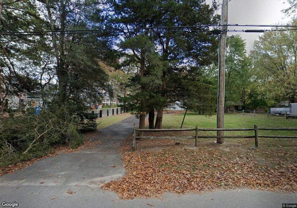
3941 Bayshore Rd Cape May Point, NJ 08212
Estimated Value: $776,000
Studio
--
Bath
--
Sq Ft
1.66
Acres
About This Home
This home is located at 3941 Bayshore Rd, Cape May Point, NJ 08212 and is currently estimated at $776,000. 3941 Bayshore Rd is a home with nearby schools including Carl T. Mitnick School, David C. Douglass Veterans Memorial School, and Maud Abrams School.
Ownership History
Date
Name
Owned For
Owner Type
Purchase Details
Closed on
Sep 29, 2017
Sold by
Utsch Janice A
Bought by
Utsch Janice A and Utsch 3Rd Ernest
Current Estimated Value
Purchase Details
Closed on
Sep 11, 2017
Sold by
Canal Walk Llc
Bought by
Utsch Janice A
Purchase Details
Closed on
Dec 23, 2004
Sold by
Gordon Development I Lp
Bought by
Canal Walk Llc
Purchase Details
Closed on
Dec 16, 2004
Sold by
Gordon Development I Lp
Bought by
Gordon Development I Lp
Purchase Details
Closed on
Mar 25, 2002
Sold by
Nj Society For Prevention Cru
Bought by
Stenton & Haines Corp
Purchase Details
Closed on
Oct 13, 1988
Sold by
Kelly Norman
Bought by
Atlantic Ciy Electric Co
Create a Home Valuation Report for This Property
The Home Valuation Report is an in-depth analysis detailing your home's value as well as a comparison with similar homes in the area
Home Values in the Area
Average Home Value in this Area
Purchase History
| Date | Buyer | Sale Price | Title Company |
|---|---|---|---|
| Utsch Janice A | -- | None Available | |
| Utsch Janice A | $250,000 | The Title Company Of Jersey | |
| Canal Walk Llc | -- | -- | |
| Gordon Development I Lp | -- | -- | |
| Utsch Janice | -- | -- | |
| Stenton & Haines Corp | $20,000 | -- | |
| Atlantic Ciy Electric Co | -- | -- |
Source: Public Records
Tax History
| Year | Tax Paid | Tax Assessment Tax Assessment Total Assessment is a certain percentage of the fair market value that is determined by local assessors to be the total taxable value of land and additions on the property. | Land | Improvement |
|---|---|---|---|---|
| 2025 | $8,108 | $399,800 | $399,800 | -- |
| 2024 | $8,108 | $399,800 | $399,800 | $0 |
Source: Public Records
Map
Nearby Homes
- 3941 Bayshore Rd
- 3911 Bayshore Rd
- 569 New England Rd
- 602 Gorham Ave
- 643 Town Bank Rd
- 7 Bottle Creek Dr
- 53 Summer Cir
- 300 Eldredge Ave
- 1203 Rosehill Pkwy
- 506 Scotty Blvd
- 506 Scotty Blvd Unit 1204
- 120 Old Mill Dr
- 118 Old Mill Dr
- 207 Old Mill Dr
- 507 Scotty Blvd
- 507 Scotty Blvd Unit 1301
- 200 Willow Dr
- 753 Route 9 Unit U
- 509 Adriatic Ave
- 29 Westwood Dr
- 689 New England Rd
- 3947 Bayshore Rd
- 3951 Bayshore Rd
- 3939 Bayshore Rd
- 3937 Bayshore Rd
- 956 Shunpike Rd
- 958 Shunpike Rd
- 3953 Bayshore Rd
- 3955 Bayshore Rd
- 3957 Bayshore Rd
- 960 Shunpike Rd
- 620 Jonathan Hoffman Rd
- 618 Jonathan Hoffman Rd
- 962 Shunpike Rd
- 612 Jonathan Hoffman Rd
- 3956 Bayshore Rd
- 966 Shunpike Rd
- 610 Jonathan Hoffman Rd
- 622 Jonathan Hoffman Rd
- 681 New England Rd
