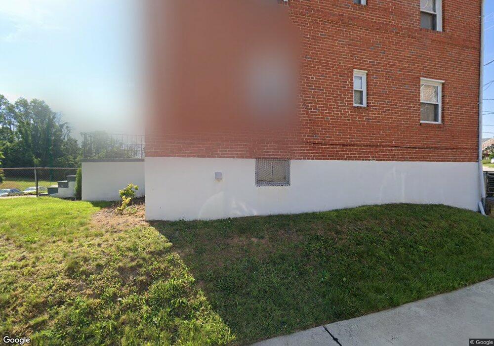
3943 Stokes Dr Baltimore, MD 21229
Edmondson Villiage NeighborhoodEstimated Value: $155,147 - $205,000
Studio
1
Bath
1,452
Sq Ft
$124/Sq Ft
Est. Value
About This Home
This home is located at 3943 Stokes Dr, Baltimore, MD 21229 and is currently estimated at $180,074, approximately $124 per square foot. 3943 Stokes Dr is a home located in Baltimore City with nearby schools including Booker T. Washington Middle School, Frederick Douglass High School, and Forest Park High School.
Ownership History
Date
Name
Owned For
Owner Type
Purchase Details
Closed on
Jan 12, 1995
Sold by
Smith Charles
Bought by
Chambers Vanessa B
Current Estimated Value
Home Financials for this Owner
Home Financials are based on the most recent Mortgage that was taken out on this home.
Original Mortgage
$51,000
Interest Rate
9.23%
Create a Home Valuation Report for This Property
The Home Valuation Report is an in-depth analysis detailing your home's value as well as a comparison with similar homes in the area
Home Values in the Area
Average Home Value in this Area
Purchase History
| Date | Buyer | Sale Price | Title Company |
|---|---|---|---|
| Chambers Vanessa B | $52,000 | -- |
Source: Public Records
Mortgage History
| Date | Status | Borrower | Loan Amount |
|---|---|---|---|
| Closed | Chambers Vanessa B | $51,000 |
Source: Public Records
Tax History
| Year | Tax Paid | Tax Assessment Tax Assessment Total Assessment is a certain percentage of the fair market value that is determined by local assessors to be the total taxable value of land and additions on the property. | Land | Improvement |
|---|---|---|---|---|
| 2025 | $2,601 | $141,300 | -- | -- |
| 2024 | $2,601 | $131,100 | -- | -- |
| 2023 | $2,554 | $120,900 | $25,000 | $95,900 |
| 2022 | $2,449 | $116,033 | $0 | $0 |
| 2021 | $2,624 | $111,167 | $0 | $0 |
| 2020 | $2,279 | $106,300 | $25,000 | $81,300 |
| 2019 | $2,244 | $105,333 | $0 | $0 |
| 2018 | $2,260 | $104,367 | $0 | $0 |
| 2017 | $2,228 | $103,400 | $0 | $0 |
| 2016 | $1,932 | $99,033 | $0 | $0 |
| 2015 | $1,932 | $94,667 | $0 | $0 |
| 2014 | $1,932 | $90,300 | $0 | $0 |
Source: Public Records
Map
Nearby Homes
- 4139 Mountwood Rd
- 1215 N Augusta Ave
- 1244 N Augusta Ave
- 1212 N Augusta Ave
- 3806 Rokeby Rd
- 3812 Flowerton Rd
- 1007 Mount Holly St
- 4100 Colborne Rd
- 3716 Flowerton Rd
- 3904 Woodridge Rd
- 827 N Augusta Ave
- 3707 Colborne Rd
- 909 Allendale St
- 4237 Flowerton Rd
- 733 Lyndhurst St
- 805 N Woodington Rd
- 3706 Cranston Ave
- 802 N Woodington Rd
- 901 Kevin Rd
- 703 N Augusta Ave
- 3941 Stokes Dr Unit 1 & UNIT 2
- 3941 Stokes Dr
- 3941 Stokes Dr Unit 1
- 3945 Stokes Dr
- 3939 Stokes Dr
- 3939 Stokes Dr Unit 2
- 3939 Stokes Dr Unit 1
- 3937 Stokes Dr
- 3935 Stokes Dr
- 3935 Stokes Dr Unit 1
- 1307 Wildwood Pkwy
- 3933 Stokes Dr
- 3900 Mountwood Rd
- 3902 Mountwood Rd
- 3931 Stokes Dr
- 1301 Wildwood Pkwy
- 3929 Stokes Dr
- 3927 Stokes Dr
- 1215 Wildwood Pkwy
- 3911 Mountwood Rd
Your Personal Tour Guide
Ask me questions while you tour the home.