Estimated Value: $347,000 - $412,000
3
Beds
2
Baths
1,689
Sq Ft
$220/Sq Ft
Est. Value
About This Home
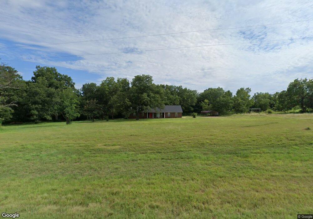
This home is located at 39440 State Highway 59, Byars, OK 74831 and is currently estimated at $371,460, approximately $219 per square foot. 39440 State Highway 59 is a home located in McClain County with nearby schools including Wayne Elementary School, Wayne Middle School, and Wayne High School.
Ownership History
Date
Name
Owned For
Owner Type
Purchase Details
Closed on
Jan 12, 2025
Sold by
Early Sara K
Bought by
Gregory And Sara Early Family Trust
Current Estimated Value
Purchase Details
Closed on
Apr 23, 2024
Sold by
Romero Joe L
Bought by
Jacobs James E and Jacobs Monica L
Home Financials for this Owner
Home Financials are based on the most recent Mortgage that was taken out on this home.
Original Mortgage
$408,991
Interest Rate
6.88%
Mortgage Type
FHA
Purchase Details
Closed on
Jan 26, 2023
Sold by
Romero Joe L
Bought by
Romero Joe L
Create a Home Valuation Report for This Property
The Home Valuation Report is an in-depth analysis detailing your home's value as well as a comparison with similar homes in the area
Home Values in the Area
Average Home Value in this Area
Purchase History
| Date | Buyer | Sale Price | Title Company |
|---|---|---|---|
| Gregory And Sara Early Family Trust | -- | None Listed On Document | |
| Jacobs James E | $350,000 | First American Title | |
| Romero Joe L | -- | -- | |
| Romero Joe L | -- | -- | |
| Romero Joe L | -- | -- | |
| Romero Joe L | -- | -- |
Source: Public Records
Mortgage History
| Date | Status | Borrower | Loan Amount |
|---|---|---|---|
| Previous Owner | Jacobs James E | $408,991 |
Source: Public Records
Tax History
| Year | Tax Paid | Tax Assessment Tax Assessment Total Assessment is a certain percentage of the fair market value that is determined by local assessors to be the total taxable value of land and additions on the property. | Land | Improvement |
|---|---|---|---|---|
| 2025 | $2,574 | $32,072 | $4,689 | $27,383 |
| 2024 | $1,047 | $12,641 | $1,617 | $11,024 |
| 2023 | $1,047 | $12,274 | $1,567 | $10,707 |
| 2022 | $3,141 | $36,733 | $6,587 | $30,146 |
| 2021 | $1,300 | $15,990 | $3,019 | $12,971 |
| 2020 | $1,281 | $15,523 | $2,918 | $12,605 |
| 2019 | $1,246 | $15,071 | $2,821 | $12,250 |
| 2018 | $1,182 | $14,632 | $2,706 | $11,926 |
| 2017 | $1,163 | $14,207 | $2,021 | $12,186 |
| 2016 | $1,139 | $13,793 | $2,224 | $11,569 |
| 2015 | $1,119 | $13,392 | $1,556 | $11,836 |
| 2014 | $1,083 | $13,001 | $1,594 | $11,407 |
Source: Public Records
Map
Nearby Homes
- 39761 State Highway 59
- 0 Red Rock Ave Unit 1213938
- 40368 140th St
- 37267 Oklahoma 59
- 0 E 130th St Unit 1183634
- 0 N County Road 3290 Unit 1157577
- 0003 Penner Ave
- 0004 Penner Ave
- 0002 Penner Ave
- 0001 Penner Ave
- 10971 N 3260 County Rd
- 0 N 3270 Rd Unit 1195006
- 0 N 3270 Rd Unit 1195014
- 0 N 3270 Rd Unit 1195003
- 12835 N County Road 3270
- 14427 Canadian Ave
- 0 N County Road 3280
- 280 S 2nd St
- 242 E Williams St
- 545 3rd St
- 39440 State Highway 59
- 39440 Oklahoma 59
- 39570 State Highway 59
- 39662 State Highway 59
- 39761 State Highway 59
- 12150 Red Rock Ave
- 12196 Red Rock Ave
- 11617 Red Rock Ave
- 0 Red Rock Ave Unit 1181239
- 0 Red Rock Ave Unit 1169641
- 0 Red Rock Ave Unit 1162426
- 0 Red Rock Ave Unit 1150641
- 0 Red Rock Ave Unit 1145490
- 40243 State Highway 59
- TBD Mitchell Hill Ave (56+ -Acres)
- 39376 130th St
- 40245 State Highway 59
- TBD Mitchell Hill Ave (42+ -Acres)
Your Personal Tour Guide
Ask me questions while you tour the home.