3945 N Adams Rd Bloomfield Hills, MI 48304
Estimated Value: $742,000 - $871,000
4
Beds
3
Baths
2,610
Sq Ft
$317/Sq Ft
Est. Value
About This Home
This home is located at 3945 N Adams Rd, Bloomfield Hills, MI 48304 and is currently estimated at $827,202, approximately $316 per square foot. 3945 N Adams Rd is a home located in Oakland County with nearby schools including Harlan Elementary School, Ernest W. Seaholm High School, and Academy of Sacred Heart.
Ownership History
Date
Name
Owned For
Owner Type
Purchase Details
Closed on
Apr 19, 2019
Sold by
Buggia Michael David
Bought by
Fores Christopher Muray and Buggia Michael David
Current Estimated Value
Purchase Details
Closed on
May 7, 2018
Sold by
Parres Mary Joan Burke
Bought by
Buggia Michael D
Home Financials for this Owner
Home Financials are based on the most recent Mortgage that was taken out on this home.
Original Mortgage
$525,000
Outstanding Balance
$456,827
Interest Rate
4.87%
Mortgage Type
Adjustable Rate Mortgage/ARM
Estimated Equity
$370,375
Purchase Details
Closed on
Jul 15, 2004
Sold by
Parres Mary Joan Burke and Parres Richard
Bought by
Parres Mary Joan Burke
Create a Home Valuation Report for This Property
The Home Valuation Report is an in-depth analysis detailing your home's value as well as a comparison with similar homes in the area
Home Values in the Area
Average Home Value in this Area
Purchase History
| Date | Buyer | Sale Price | Title Company |
|---|---|---|---|
| Fores Christopher Muray | -- | None Available | |
| Buggia Michael D | $525,000 | Ata National Title Group | |
| Parres Mary Joan Burke | -- | -- |
Source: Public Records
Mortgage History
| Date | Status | Borrower | Loan Amount |
|---|---|---|---|
| Open | Buggia Michael D | $525,000 |
Source: Public Records
Tax History Compared to Growth
Tax History
| Year | Tax Paid | Tax Assessment Tax Assessment Total Assessment is a certain percentage of the fair market value that is determined by local assessors to be the total taxable value of land and additions on the property. | Land | Improvement |
|---|---|---|---|---|
| 2024 | $6,421 | $365,970 | $0 | $0 |
| 2023 | $6,162 | $333,600 | $0 | $0 |
| 2022 | $10,430 | $319,370 | $0 | $0 |
| 2021 | $10,517 | $291,900 | $0 | $0 |
| 2020 | $5,919 | $267,430 | $0 | $0 |
| 2019 | $10,500 | $262,410 | $0 | $0 |
| 2018 | $6,496 | $266,810 | $0 | $0 |
| 2017 | $6,493 | $255,750 | $0 | $0 |
| 2016 | $6,754 | $239,200 | $0 | $0 |
| 2015 | -- | $222,340 | $0 | $0 |
| 2014 | -- | $201,020 | $0 | $0 |
| 2011 | -- | $142,450 | $0 | $0 |
Source: Public Records
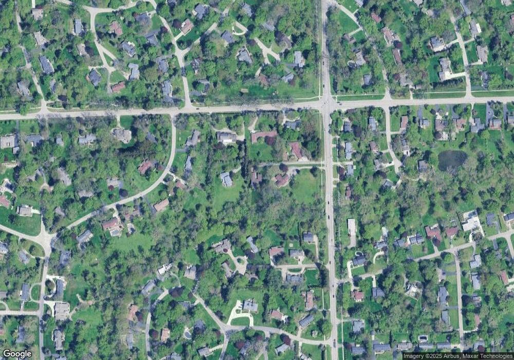
Map
Nearby Homes
- 2991 Lanergan Dr
- 4731 Haddington Dr
- 2840 Bolingbroke Dr
- 2650 Binbrooke Dr
- 4144 Rouge Circle Dr
- 2611 Tarragona Way
- 796 Rock Spring Rd
- 4389 Charing Way
- 433 Whippers In Ct
- 1048 Satterlee Rd
- 3826 Lakecrest Dr
- 0000 Brookdale Rd
- 4890 Charing Cross Rd
- 3665 Estates Dr
- 3729 Boulder Dr
- 2154 Babcock Dr
- 3014 Caswell Dr
- 3036 Newport Ct
- 1976 Club Dr
- 4619 Riverchase Dr
- 3925 N Adams Rd
- 740 Wattles Rd
- 760 Wattles Rd
- 730 Wattles Rd
- 3965 N Adams Rd
- 3851 N Adams Rd
- 3841 N Adams Rd
- 4535 Burnley Dr
- 3861 N Adams Rd
- 4515 Burnley Dr
- 800 Wattles Rd
- 3871 N Adams Rd
- 3881 N Adams Rd
- 4539 Burnley Dr
- 3821 N Adams Rd
- 3900 Adams Rd
- 3920 Adams Rd
- 4345 Meadowlane Ct
- 3940 Adams Rd
- 4553 Burnley Dr