Estimated Value: $163,875
Studio
2
Baths
2,400
Sq Ft
$68/Sq Ft
Est. Value
About This Home
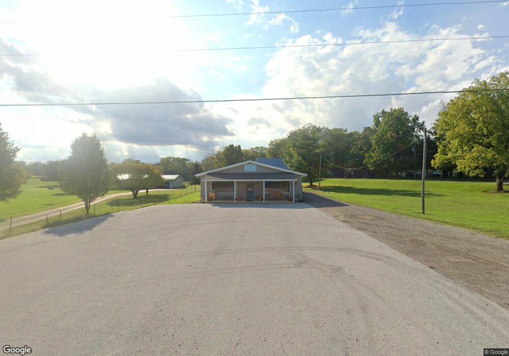
This home is located at 3945 Stewart Rd, Lima, OH 45801 and is currently estimated at $163,875, approximately $68 per square foot. 3945 Stewart Rd is a home located in Allen County with nearby schools including Bath Elementary School, Bath Middle School, and Bath High School.
Ownership History
Date
Name
Owned For
Owner Type
Purchase Details
Closed on
Jul 5, 2024
Sold by
Drc Property Management Llc
Bought by
Sutton Austin B and Sutton Gabrielle N
Current Estimated Value
Home Financials for this Owner
Home Financials are based on the most recent Mortgage that was taken out on this home.
Original Mortgage
$113,625
Outstanding Balance
$110,449
Interest Rate
6.99%
Mortgage Type
Credit Line Revolving
Estimated Equity
$53,426
Purchase Details
Closed on
Dec 23, 2013
Sold by
Clark Daniel J
Bought by
Drc Property Management Llc
Purchase Details
Closed on
Jan 31, 2011
Sold by
King Randall E and King Sharon A
Bought by
Clark Daniel J
Home Financials for this Owner
Home Financials are based on the most recent Mortgage that was taken out on this home.
Original Mortgage
$500,000
Interest Rate
4.82%
Mortgage Type
Seller Take Back
Purchase Details
Closed on
Jan 5, 1998
Sold by
Mcclintock Warren
Bought by
King Daniel and King Randall
Create a Home Valuation Report for This Property
The Home Valuation Report is an in-depth analysis detailing your home's value as well as a comparison with similar homes in the area
Purchase History
| Date | Buyer | Sale Price | Title Company |
|---|---|---|---|
| Sutton Austin B | $151,500 | None Listed On Document | |
| Drc Property Management Llc | -- | None Available | |
| Clark Daniel J | $33,500 | Attorney | |
| King Daniel | $40,000 | -- |
Source: Public Records
Mortgage History
| Date | Status | Borrower | Loan Amount |
|---|---|---|---|
| Open | Sutton Austin B | $113,625 | |
| Previous Owner | Clark Daniel J | $500,000 |
Source: Public Records
Tax History
| Year | Tax Paid | Tax Assessment Tax Assessment Total Assessment is a certain percentage of the fair market value that is determined by local assessors to be the total taxable value of land and additions on the property. | Land | Improvement |
|---|---|---|---|---|
| 2024 | $1,489 | $26,780 | $2,310 | $24,470 |
| 2023 | $1,854 | $24,330 | $2,100 | $22,230 |
| 2022 | $1,858 | $24,330 | $2,100 | $22,230 |
| 2021 | $1,858 | $24,330 | $2,100 | $22,230 |
| 2020 | $1,871 | $22,370 | $2,100 | $20,270 |
| 2019 | $1,871 | $22,370 | $2,100 | $20,270 |
| 2018 | $1,842 | $22,370 | $2,100 | $20,270 |
| 2017 | $1,830 | $22,370 | $2,100 | $20,270 |
| 2016 | $1,816 | $22,370 | $2,100 | $20,270 |
| 2015 | $1,801 | $22,370 | $2,100 | $20,270 |
| 2014 | $1,801 | $21,670 | $2,100 | $19,570 |
| 2013 | $1,802 | $21,670 | $2,100 | $19,570 |
Source: Public Records
Map
Nearby Homes
- 1085 Lutz Rd
- 3263 Shiloh Dr
- 2878 Autumn Lake Dr
- 3465 Sugar Creek Rd
- 4387 N West St
- 2230 N Dixie Hwy
- 2145 N Dixie Hwy Unit 80
- 2145 N Dixie Hwy Unit 11
- 2145 N Dixie Hwy Unit 101
- 2145 N Dixie Hwy Unit 30
- 535 W Bluelick Rd
- 1656 Stewart Rd
- 201 Wall St
- 0 Thorndyke Dr
- 3137 Thorndyke Dr
- 475 Kenmore St
- 102 W Main St
- 520 Kenmore St
- 513 W Main St
- 0 N Dixie Hwy Unit 300253
- 3955 Stewart Rd
- 3943 Stewart Rd
- 3985 Stewart Rd
- 4005 Stewart Rd
- 3940 Stewart Rd
- 4007 Stewart Rd
- 3898 Stewart Rd
- 4027 Stewart Rd
- 3885 Stewart Rd
- 3865 Stewart Rd
- 4050 Stewart Rd
- 3821 Stewart Rd
- 4077 Stewart Rd
- 3803 Stewart Rd
- 4120 Stewart Rd
- 3895 Stewart Rd
- 4130 Stewart Rd
- 3780 Stewart Rd
- 3232 Loescher Rd
Your Personal Tour Guide
Ask me questions while you tour the home.