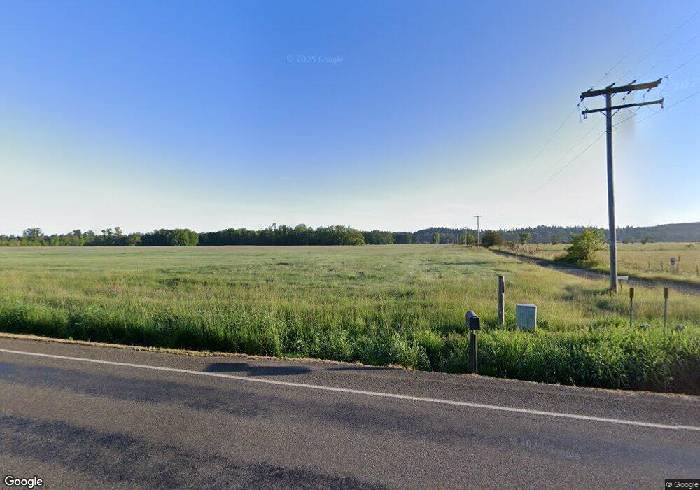
Estimated Value: $1,652,774
5
Beds
3
Baths
3,294
Sq Ft
$502/Sq Ft
Est. Value
About This Home
This home is located at 39467 Highway 226, Scio, OR 97374 and is currently estimated at $1,652,774, approximately $501 per square foot. 39467 Highway 226 is a home located in Linn County with nearby schools including Centennial Elementary School, Scio Middle School, and Scio High School.
Ownership History
Date
Name
Owned For
Owner Type
Purchase Details
Closed on
Mar 19, 2018
Sold by
Nowak Robert S and Nowak Cheryl L
Bought by
Nowak Living Trust and Nowak
Current Estimated Value
Purchase Details
Closed on
Jan 4, 2018
Sold by
Nowak Robert S and Nowak Cheryl L
Bought by
Nowak Robert S and Nowak Cheryl L
Purchase Details
Closed on
Nov 25, 2013
Sold by
Nelson Gregory L
Bought by
Nowak Robert S and Nowak Cheryl L
Home Financials for this Owner
Home Financials are based on the most recent Mortgage that was taken out on this home.
Original Mortgage
$519,120
Interest Rate
4.18%
Mortgage Type
Unknown
Purchase Details
Closed on
Oct 5, 2004
Sold by
Faessler Gray Geraldine
Bought by
Lear Melinda G and Nelson Gregory L
Create a Home Valuation Report for This Property
The Home Valuation Report is an in-depth analysis detailing your home's value as well as a comparison with similar homes in the area
Home Values in the Area
Average Home Value in this Area
Purchase History
| Date | Buyer | Sale Price | Title Company |
|---|---|---|---|
| Nowak Living Trust | -- | None Listed On Document | |
| Nowak Robert S | -- | None Available | |
| Nowak Robert S | $648,900 | First American Title | |
| Lear Melinda G | $512,000 | -- |
Source: Public Records
Mortgage History
| Date | Status | Borrower | Loan Amount |
|---|---|---|---|
| Previous Owner | Nowak Robert S | $519,120 |
Source: Public Records
Tax History Compared to Growth
Tax History
| Year | Tax Paid | Tax Assessment Tax Assessment Total Assessment is a certain percentage of the fair market value that is determined by local assessors to be the total taxable value of land and additions on the property. | Land | Improvement |
|---|---|---|---|---|
| 2025 | $5,126 | $441,556 | -- | -- |
| 2024 | $4,994 | $429,128 | -- | -- |
| 2023 | $4,869 | $417,059 | $0 | $0 |
| 2022 | $4,734 | $405,337 | $0 | $0 |
| 2021 | $4,518 | $393,962 | $0 | $0 |
| 2020 | $4,388 | $376,362 | $0 | $0 |
| 2019 | $4,296 | $365,649 | $0 | $0 |
| 2018 | $4,180 | $355,240 | $0 | $0 |
| 2017 | $4,065 | $345,136 | $0 | $0 |
| 2016 | $3,957 | $335,493 | $0 | $0 |
| 2015 | $3,851 | $325,972 | $0 | $0 |
| 2014 | $3,736 | $316,414 | $0 | $0 |
Source: Public Records
Map
Nearby Homes
- 40009 Highway 226
- 38808 N Main St
- 38967 Oregon 226
- 38888 Highway 226
- 39924 Stayton Scio Rd
- 39110 Loma Dr
- 40615 Rodgers Mountain Loop
- 39986 Gisler Rd
- 43319 Rodgers Mountain Loop
- 39903 Mertz Dr SE
- 40893 Elk Ridge Ln
- 39320 Montgomery Dr
- 41036 Stayton Scio Rd SE
- 41116 Rodgers Mountain Loop
- 38588 Goar Rd
- 0 Gilkey Rd
- 8982 Santiam Loop SE
- 8668 Stayton Rd SE
- 39467 Highway 226
- 39467 Highway 226
- 39467 Highway 226
- 39394 Brock Dr
- 39551 Brock Dr
- 39463 Highway 226
- 39463 Highway 226
- 39463 Highway 226
- 39610 Brock Dr
- 39520 Brock Dr
- 39758 Ridge Dr
- 39733 Highway 226
- 39733 Highway 226
- 39733 Highway 226
- 39733 Highway 226
- 39754 Ridge Dr
- 39459 Highway 226
- 39459 Highway 226
- 39459 Highway 226
- 39626 Ridge Dr
