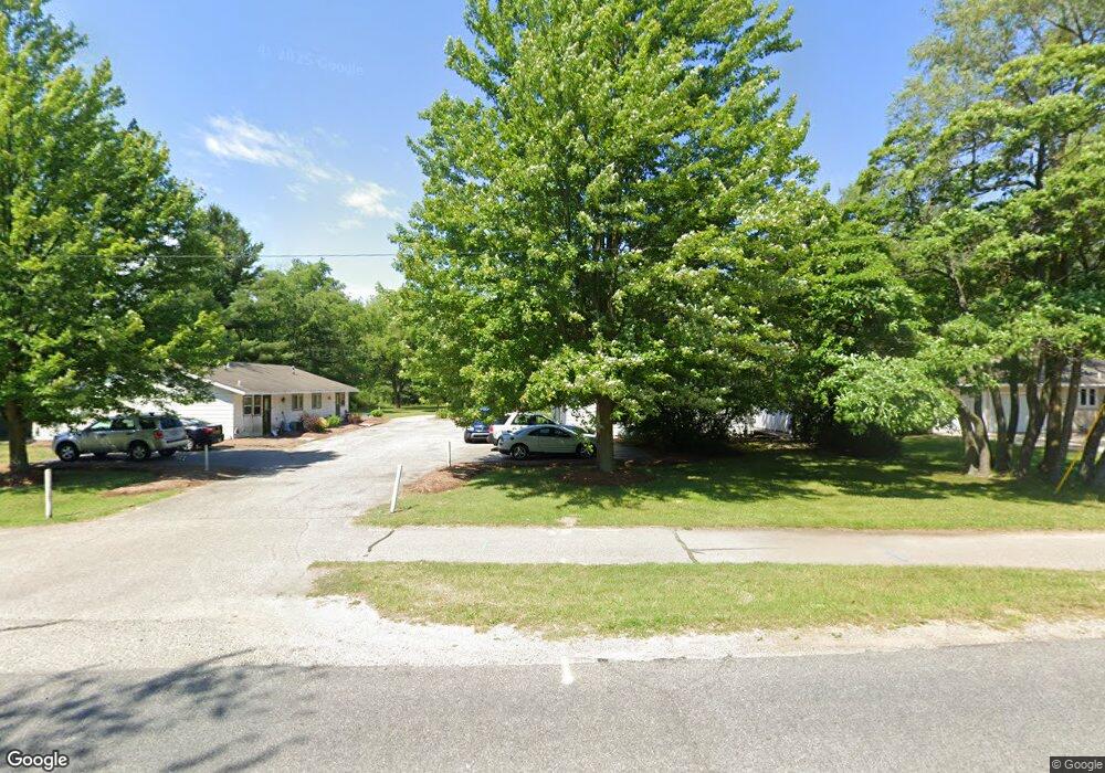
3947 142nd Ave Holland, MI 49424
Estimated Value: $405,000 - $601,000
--
Bed
2
Baths
3,320
Sq Ft
$144/Sq Ft
Est. Value
About This Home
This home is located at 3947 142nd Ave, Holland, MI 49424 and is currently estimated at $477,416, approximately $143 per square foot. 3947 142nd Ave is a home located in Ottawa County with nearby schools including Pine Creek Elementary School, Harbor Lights Middle School, and West Ottawa High School.
Ownership History
Date
Name
Owned For
Owner Type
Purchase Details
Closed on
Sep 26, 2018
Sold by
Brown Darrick P and Bang Melanie H
Bought by
Brown Darrick P and Bang Melanie H
Current Estimated Value
Purchase Details
Closed on
Jan 19, 2007
Sold by
Waypoint Homes Llc
Bought by
Brown Darrick P
Home Financials for this Owner
Home Financials are based on the most recent Mortgage that was taken out on this home.
Original Mortgage
$133,237
Outstanding Balance
$79,533
Interest Rate
6.19%
Mortgage Type
Purchase Money Mortgage
Estimated Equity
$397,883
Create a Home Valuation Report for This Property
The Home Valuation Report is an in-depth analysis detailing your home's value as well as a comparison with similar homes in the area
Home Values in the Area
Average Home Value in this Area
Purchase History
| Date | Buyer | Sale Price | Title Company |
|---|---|---|---|
| Brown Darrick P | -- | None Available | |
| Brown Darrick P | -- | None Available | |
| Brown Darrick P | $177,650 | Chicago Title |
Source: Public Records
Mortgage History
| Date | Status | Borrower | Loan Amount |
|---|---|---|---|
| Open | Brown Darrick P | $133,237 |
Source: Public Records
Tax History Compared to Growth
Tax History
| Year | Tax Paid | Tax Assessment Tax Assessment Total Assessment is a certain percentage of the fair market value that is determined by local assessors to be the total taxable value of land and additions on the property. | Land | Improvement |
|---|---|---|---|---|
| 2025 | $4,259 | $165,900 | $0 | $0 |
| 2024 | $3,599 | $173,900 | $0 | $0 |
| 2023 | $3,453 | $149,700 | $0 | $0 |
| 2022 | $3,941 | $147,700 | $0 | $0 |
| 2021 | $3,825 | $136,200 | $0 | $0 |
| 2020 | $3,729 | $125,100 | $0 | $0 |
| 2019 | $3,665 | $79,300 | $0 | $0 |
| 2018 | $3,464 | $104,300 | $25,000 | $79,300 |
| 2017 | $3,404 | $86,700 | $0 | $0 |
| 2016 | $3,382 | $78,200 | $0 | $0 |
| 2015 | $3,267 | $73,200 | $0 | $0 |
| 2014 | $3,267 | $70,000 | $0 | $0 |
Source: Public Records
Map
Nearby Homes
- Integrity 1610 Plan at Silverwater
- Integrity 1250 Plan at Silverwater
- Integrity 1880 Plan at Silverwater
- Integrity 1560 Plan at Silverwater
- Traditions 2900 V8.2b Plan at Silverwater
- Integrity 1605 Plan at Silverwater
- Elements 2700 Plan at Silverwater
- Integrity 1530 Plan at Silverwater
- Integrity 1800 Plan at Silverwater
- Traditions 2800 V8.0b Plan at Silverwater
- Integrity 2060 Plan at Silverwater
- Integrity 2280 Plan at Silverwater
- Integrity 1520 Plan at Silverwater
- Elements 2390 Plan at Silverwater
- Integrity 1830 Plan at Silverwater
- Elements 1800 Plan at Silverwater
- Elements 1870 Plan at Silverwater
- Traditions 3390 V8.2b Plan at Silverwater
- Integrity 2190 Plan at Silverwater
- Integrity 2000 Plan at Silverwater
- 3937 142nd Ave
- 3979 142nd Ave
- 3919 142nd Ave
- 3892 142nd Ave
- 3989 142nd Ave
- 14236 Quincy St
- 3915 142nd Ave
- 3895 142nd Ave
- 3898 142nd Ave
- 3896 142nd Ave Unit 2
- 14245 Quincy St
- 14274 Quincy St
- 14282 Quincy St
- 14268 Quincy St
- 3873 142nd Ave
- 14253 Quincy St
- 14251 Spruce Hollow Dr
- 14259 Spruce Hollow Dr
- 3866 Pine Meadow Dr
- 3870 142nd Ave