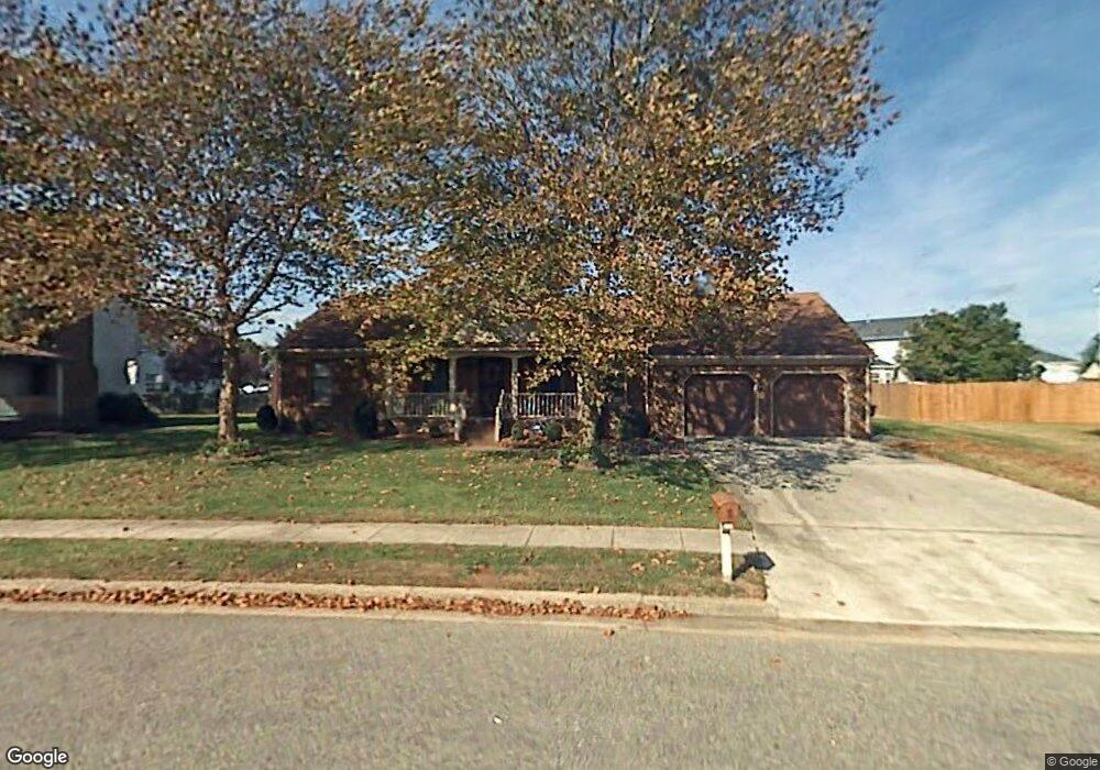
3948 Long Point Blvd Portsmouth, VA 23703
Churchland NeighborhoodEstimated Value: $337,423 - $377,000
3
Beds
2
Baths
1,522
Sq Ft
$235/Sq Ft
Est. Value
About This Home
This home is located at 3948 Long Point Blvd, Portsmouth, VA 23703 and is currently estimated at $357,856, approximately $235 per square foot. 3948 Long Point Blvd is a home located in Portsmouth City with nearby schools including Churchland Primary/Intermediate School, Churchland Middle School, and Churchland High School.
Ownership History
Date
Name
Owned For
Owner Type
Purchase Details
Closed on
Jun 12, 2013
Sold by
Hoffler Katie M
Bought by
Williams Doris J
Current Estimated Value
Home Financials for this Owner
Home Financials are based on the most recent Mortgage that was taken out on this home.
Original Mortgage
$191,105
Outstanding Balance
$134,870
Interest Rate
3.39%
Mortgage Type
VA
Estimated Equity
$222,986
Create a Home Valuation Report for This Property
The Home Valuation Report is an in-depth analysis detailing your home's value as well as a comparison with similar homes in the area
Home Values in the Area
Average Home Value in this Area
Purchase History
| Date | Buyer | Sale Price | Title Company |
|---|---|---|---|
| Williams Doris J | $185,000 | -- |
Source: Public Records
Mortgage History
| Date | Status | Borrower | Loan Amount |
|---|---|---|---|
| Open | Williams Doris J | $191,105 |
Source: Public Records
Tax History Compared to Growth
Tax History
| Year | Tax Paid | Tax Assessment Tax Assessment Total Assessment is a certain percentage of the fair market value that is determined by local assessors to be the total taxable value of land and additions on the property. | Land | Improvement |
|---|---|---|---|---|
| 2025 | $3,516 | $302,340 | $86,220 | $216,120 |
| 2024 | $3,516 | $285,890 | $86,220 | $199,670 |
| 2023 | $3,286 | $262,860 | $86,220 | $176,640 |
| 2022 | $3,374 | $259,570 | $86,220 | $173,350 |
| 2021 | $2,867 | $220,520 | $71,850 | $148,670 |
| 2020 | $2,758 | $212,160 | $68,430 | $143,730 |
| 2019 | $2,737 | $210,520 | $68,430 | $142,090 |
| 2018 | $2,737 | $210,520 | $68,430 | $142,090 |
| 2017 | $2,737 | $210,520 | $68,430 | $142,090 |
| 2016 | $2,651 | $203,940 | $68,430 | $135,510 |
| 2015 | $2,650 | $203,850 | $68,430 | $135,420 |
| 2014 | $2,589 | $203,850 | $68,430 | $135,420 |
Source: Public Records
Map
Nearby Homes
- 17 Shoal Ct
- 8 Compass Ct
- 3866 Augustine Cir
- 4071 Long Point Blvd
- 3877 Peachtree Ln W
- 3818 Peach Orchard Cir
- 4100 Mayfair Way
- 3860 Sugar Creek Cir
- 3913 Stateflower Ct
- 3817 Harvest Ct
- 6446 Olde Bullocks Cir
- 5807 Dunkin St
- 3660B Towne Point Rd Unit A
- 3433 Willow Breeze Dr
- 6417 Pelican Crescent N
- 3791 Towne Point Rd
- 4200 Quince Rd
- 21 Windy Pines Crescent
- 3715 Magnolia Dr
- 5833 Hawthorne Ln
- 3952 Long Point Blvd
- 3944 Long Point Blvd
- 13 Shoal Ct
- 11 Shoal Ct
- 2 Sailfish St
- 3956 Long Point Blvd
- 15 Shoal Ct
- 3951 Long Point Blvd
- 4 Sailfish St
- 3947 Long Point Blvd
- 9 Shoal Ct
- 3955 Long Point Blvd
- 3940 Long Point Blvd
- 3960 Long Point Blvd
- 3943 Long Point Blvd
- 1 Sailfish St
- 6 Sailfish St
- 3 Sailfish St
- 7 Shoal Ct
- 5 Sailfish St