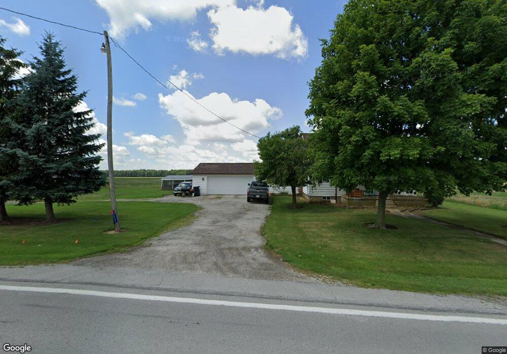
3948 State Route 269 N Bellevue, OH 44811
Estimated Value: $118,000 - $194,000
3
Beds
2
Baths
1,484
Sq Ft
$104/Sq Ft
Est. Value
About This Home
This home is located at 3948 State Route 269 N, Bellevue, OH 44811 and is currently estimated at $153,962, approximately $103 per square foot. 3948 State Route 269 N is a home with nearby schools including Seneca East Elementary School and Seneca East High School.
Ownership History
Date
Name
Owned For
Owner Type
Purchase Details
Closed on
Feb 26, 2010
Sold by
Federal Home Loan Mortgage Corporation
Bought by
Alt Ronald P
Current Estimated Value
Purchase Details
Closed on
Jun 17, 2009
Sold by
Buchanan Eddie G and Chase Home Finance Llc
Bought by
Federal Home Loan Mortgage Corporation
Purchase Details
Closed on
Jul 12, 1996
Sold by
Ruffing Cheryl
Bought by
Buchanan Eddie G
Create a Home Valuation Report for This Property
The Home Valuation Report is an in-depth analysis detailing your home's value as well as a comparison with similar homes in the area
Home Values in the Area
Average Home Value in this Area
Purchase History
| Date | Buyer | Sale Price | Title Company |
|---|---|---|---|
| Alt Ronald P | $41,900 | None Available | |
| Federal Home Loan Mortgage Corporation | $60,000 | None Available | |
| Buchanan Eddie G | $79,900 | -- |
Source: Public Records
Tax History Compared to Growth
Tax History
| Year | Tax Paid | Tax Assessment Tax Assessment Total Assessment is a certain percentage of the fair market value that is determined by local assessors to be the total taxable value of land and additions on the property. | Land | Improvement |
|---|---|---|---|---|
| 2024 | $1,690 | $47,010 | $7,560 | $39,450 |
| 2023 | $1,679 | $47,010 | $7,560 | $39,450 |
| 2022 | $1,574 | $36,590 | $7,560 | $29,030 |
| 2021 | $1,581 | $36,590 | $7,560 | $29,030 |
| 2020 | $1,560 | $36,583 | $7,557 | $29,026 |
| 2019 | $1,302 | $32,141 | $6,804 | $25,337 |
| 2018 | $1,297 | $32,141 | $6,804 | $25,337 |
| 2017 | $1,237 | $32,141 | $6,804 | $25,337 |
| 2016 | $1,224 | $31,805 | $6,293 | $25,512 |
| 2015 | $1,204 | $31,805 | $6,293 | $25,512 |
| 2014 | $1,058 | $31,805 | $6,293 | $25,512 |
| 2013 | $1,248 | $31,805 | $6,293 | $25,512 |
Source: Public Records
Map
Nearby Homes
- 7740 Washington St
- 0 Tr 0134
- 6556 Ohio 18
- 4365 N Greenfield Rd
- 881 Flat Rock Rd
- 140 Hobson St
- 644 Ohio 99
- 111 Park Ave
- 736 Kilbourne St
- 720 Kilbourne St
- 818 Bellaire Dr
- 0 Hartland Dr
- 803 Del Moy Ave
- 3851 Everingin Rd
- 501 E Center St
- 3050 E Main St
- 155 Ashford Ave
- 206 Southwest St
- 154 Ashford Ave
- 129 Hamilton St
- 3948 Ohio 269
- 3888 State Route 269 N
- 23.49 ac V/L State Route 269
- 6795 Pontiac Line Rd
- 3670 State Route 269 N
- 6739 Pontiac Line Rd
- 1448 State Route 4
- 1563 State Route 4
- 1582 State Route 4
- 6548 Pontiac Line Rd
- 3422 State Route 4
- 16977 County Road 46
- 16880 County Road 46
- 16840 County Road 46
- 16744 Township Road 136
- 16800 County Road 46
- 1737 State Route 4
- 16751 County Road 46
- 1700 Ohio 4
- 1814 State Route 269 N