Estimated Value: $1,238,000 - $1,392,846
5
Beds
3
Baths
5,204
Sq Ft
$253/Sq Ft
Est. Value
About This Home
This home is located at 39495 NW Bledsoe Creek Ln, Banks, OR 97106 and is currently estimated at $1,315,423, approximately $252 per square foot. 39495 NW Bledsoe Creek Ln is a home located in Washington County with nearby schools including Banks Elementary School, Banks Middle School, and Banks High School.
Ownership History
Date
Name
Owned For
Owner Type
Purchase Details
Closed on
Dec 14, 1998
Sold by
Reman Wilhelm and Reman Margene
Bought by
Applebee Michael L and Applebee Jennie M
Current Estimated Value
Home Financials for this Owner
Home Financials are based on the most recent Mortgage that was taken out on this home.
Original Mortgage
$382,450
Outstanding Balance
$86,873
Interest Rate
6.78%
Estimated Equity
$1,228,550
Purchase Details
Closed on
Apr 27, 1995
Sold by
Narita Yukio and Jordan Narita Iris
Bought by
Reman Wilhelm and Reman Margene
Home Financials for this Owner
Home Financials are based on the most recent Mortgage that was taken out on this home.
Original Mortgage
$350,000
Interest Rate
5.87%
Mortgage Type
Construction
Create a Home Valuation Report for This Property
The Home Valuation Report is an in-depth analysis detailing your home's value as well as a comparison with similar homes in the area
Home Values in the Area
Average Home Value in this Area
Purchase History
| Date | Buyer | Sale Price | Title Company |
|---|---|---|---|
| Applebee Michael L | $425,000 | Chicago Title Insurance Co | |
| Reman Wilhelm | $169,000 | Chicago Title |
Source: Public Records
Mortgage History
| Date | Status | Borrower | Loan Amount |
|---|---|---|---|
| Open | Applebee Michael L | $382,450 | |
| Previous Owner | Reman Wilhelm | $350,000 |
Source: Public Records
Tax History Compared to Growth
Tax History
| Year | Tax Paid | Tax Assessment Tax Assessment Total Assessment is a certain percentage of the fair market value that is determined by local assessors to be the total taxable value of land and additions on the property. | Land | Improvement |
|---|---|---|---|---|
| 2025 | $10,818 | $767,520 | -- | -- |
| 2024 | $9,630 | $745,200 | -- | -- |
| 2023 | $49 | $2,700 | $0 | $0 |
| 2022 | $48 | $2,700 | $0 | $0 |
| 2021 | $8,743 | $652,250 | $0 | $0 |
| 2020 | $8,484 | $633,260 | $0 | $0 |
| 2019 | $8,115 | $614,820 | $0 | $0 |
| 2018 | $7,905 | $596,910 | $0 | $0 |
| 2017 | $7,538 | $579,530 | $0 | $0 |
Source: Public Records
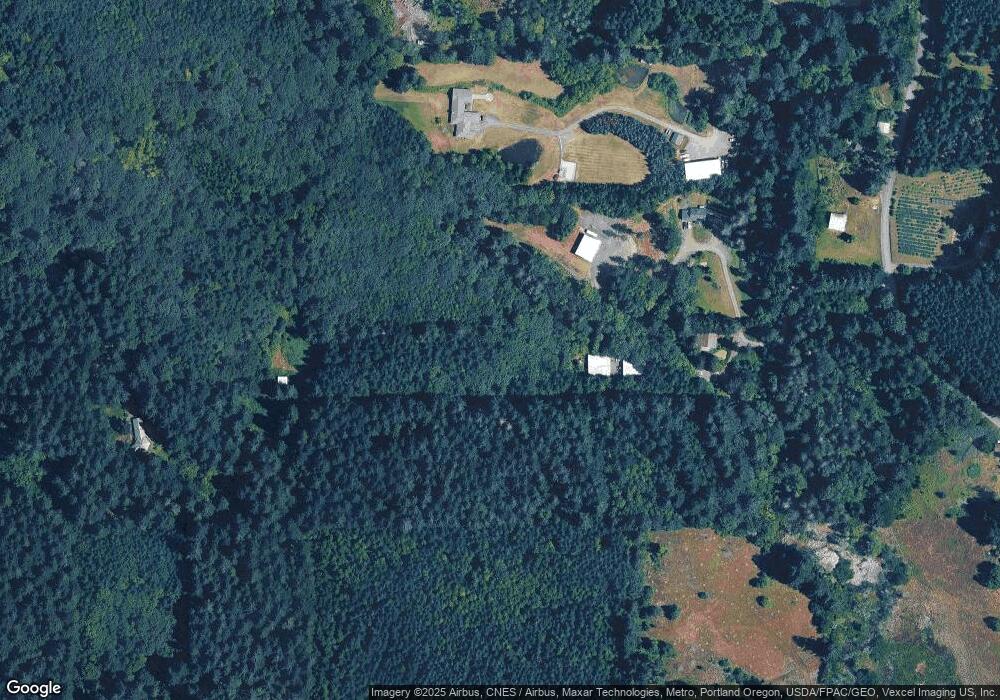
Map
Nearby Homes
- 0 NW Lodge Rd
- 42371 NW Banks Rd
- 36303 NW 3 Cedars Ln
- 12734 NW Hammond Place
- 0 NW Dairy Creek Rd
- 41637 NW Buckshire St
- 41710 NW Oak Way
- 42002 NW Elmhurst Ct
- 41753 NW Buckshire St
- 42015 NW Buckshire St
- 42098 NW Broadshire Ln
- 0 NW Green Mountain Rd Unit 1 23320324
- 0 NW Green Mountain Rd Unit 24253646
- 21076 NW Green Mountain Rd
- 22001 NW Sellers Rd
- 20345 NW Murphy Rd
- 17034 NW Corey Rd
- 23505 NW Dairy Creek Rd
- 24111 NW Meacham Rd
- 39777 NW Murtaugh Rd
- 39533 NW Bledsoe Creek Ln
- 16849 NW Davidson Rd
- 40250 NW Bledsoe Creek Ln
- 40990 NW Lodge Rd
- 17451 NW Davidson Rd
- 17280 NW Davidson Rd
- 16310 NW Maller Rd
- 17130 NW Davidson Rd
- 16465 NW Davidson Rd
- 17675 NW Davidson Rd
- 16335 NW Davidson Rd
- 16280 NW Davidson Rd
- 40607 NW Monarch Ln
- 15622 NW Roads End
- 16100 NW Maller Rd
- 15638 NW Roads End
- 15720 NW Roads End
- 16250 NW Davidson Rd
- 40590 NW Monarch Ln
- 41100 NW Lodge Rd