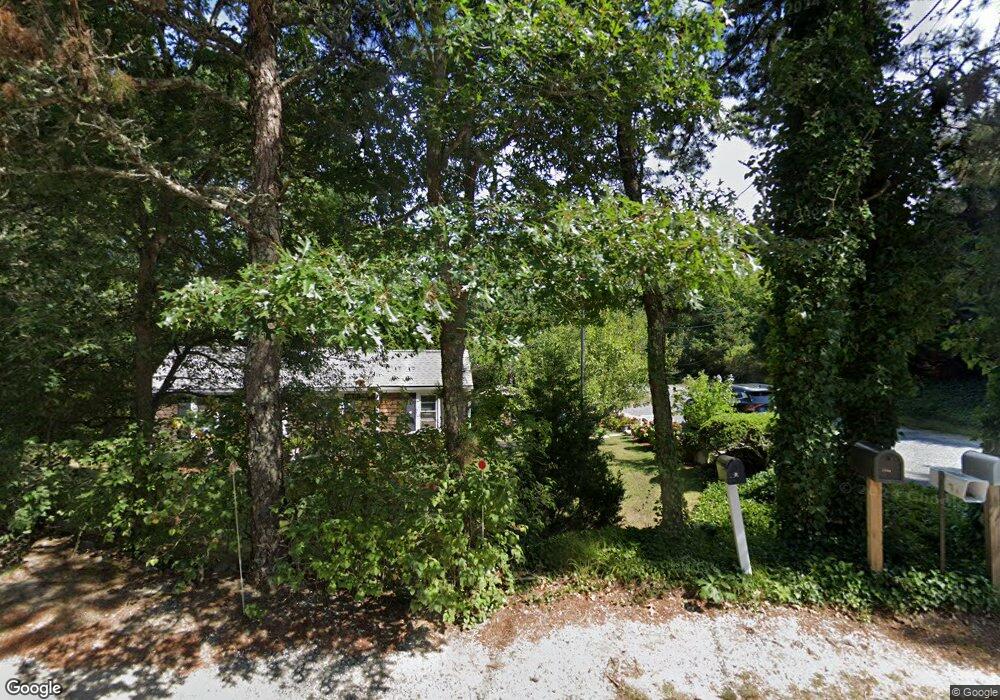
394A N Dennis Rd Yarmouth Port, MA 02675
Yarmouth Port NeighborhoodEstimated Value: $423,332 - $497,000
2
Beds
2
Baths
526
Sq Ft
$869/Sq Ft
Est. Value
About This Home
This home is located at 394A N Dennis Rd, Yarmouth Port, MA 02675 and is currently estimated at $456,833, approximately $868 per square foot. 394A N Dennis Rd is a home located in Barnstable County with nearby schools including Dennis-Yarmouth Regional High School and St. Pius X. School.
Ownership History
Date
Name
Owned For
Owner Type
Purchase Details
Closed on
Sep 25, 2025
Sold by
Morey Jennie F and Morey Timothy R
Bought by
Morey Ret and Morey
Current Estimated Value
Purchase Details
Closed on
Jul 29, 2016
Sold by
Wakeby Development
Bought by
Morey Jennie and Morey Timothy
Home Financials for this Owner
Home Financials are based on the most recent Mortgage that was taken out on this home.
Original Mortgage
$153,174
Interest Rate
3.48%
Purchase Details
Closed on
Jul 29, 1977
Bought by
Morlock Henry F
Create a Home Valuation Report for This Property
The Home Valuation Report is an in-depth analysis detailing your home's value as well as a comparison with similar homes in the area
Home Values in the Area
Average Home Value in this Area
Purchase History
| Date | Buyer | Sale Price | Title Company |
|---|---|---|---|
| Morey Ret | -- | -- | |
| Morey Jennie | -- | -- | |
| Morlock Henry F | -- | -- |
Source: Public Records
Mortgage History
| Date | Status | Borrower | Loan Amount |
|---|---|---|---|
| Previous Owner | Morlock Henry F | $153,174 | |
| Previous Owner | Morlock Henry F | -- | |
| Previous Owner | Morlock Henry F | $142,400 |
Source: Public Records
Tax History Compared to Growth
Tax History
| Year | Tax Paid | Tax Assessment Tax Assessment Total Assessment is a certain percentage of the fair market value that is determined by local assessors to be the total taxable value of land and additions on the property. | Land | Improvement |
|---|---|---|---|---|
| 2025 | $2,065 | $291,700 | $137,000 | $154,700 |
| 2024 | $2,114 | $286,500 | $144,400 | $142,100 |
| 2023 | $2,064 | $254,500 | $128,700 | $125,800 |
| 2022 | $1,981 | $215,800 | $115,800 | $100,000 |
| 2021 | $1,917 | $200,500 | $115,800 | $84,700 |
| 2020 | $1,913 | $191,300 | $115,800 | $75,500 |
| 2019 | $1,820 | $180,200 | $115,800 | $64,400 |
| 2018 | $1,633 | $158,700 | $94,300 | $64,400 |
| 2017 | $1,590 | $158,700 | $94,300 | $64,400 |
| 2016 | $1,499 | $150,200 | $85,800 | $64,400 |
| 2015 | $1,417 | $141,100 | $85,800 | $55,300 |
Source: Public Records
Map
Nearby Homes
- 111 Merchant Ave
- 13 Covey Dr
- 6 Nimble Hill Dr
- 4 Ebb Rd
- 118 Driftwood Ln
- 153 Bayridge Dr
- 129 Driftwood Ln
- 11 Uncle Stanleys Way
- 44 Stratford Ln
- 59 Main St Unit 19-2
- 59 Route 6a Unit 29-4
- 4 Old Colony Way
- 86 Pompano Rd
- 15 Captain Jud Rd
- 43 Canterbury Rd
- 34 Kates Path
- 34 Kates Path Unit 34
- 64 Kates Path
- 51 Bray Farm Rd N
- 394 N Dennis Rd
- 394 N Dennis Rd Unit A
- 394-A N Dennis Rd
- 384A N Dennis Rd
- 384 N Dennis Rd
- 384A N Dennis Rd
- 402 N Dennis Rd
- 107 Merchant Ave
- 3 Hummock Ln
- 9 Hummock Ln
- 377 N Dennis Rd
- 15 Hummock Ln
- 102 Merchant Ave
- 369 N Dennis Rd
- 115 Merchant Ave
- 49 Macomber Dr
- 4 Hummock Ln
- 8 Tasmania Dr
- 10 Hummock Ln
- 417 N Dennis Rd