395 Alonzo Cain Rd Dahlonega, GA 30533
Estimated Value: $96,052 - $300,000
--
Bed
2
Baths
--
Sq Ft
2.13
Acres
About This Home
This home is located at 395 Alonzo Cain Rd, Dahlonega, GA 30533 and is currently estimated at $188,017. 395 Alonzo Cain Rd is a home located in Lumpkin County with nearby schools including Lumpkin County High School.
Ownership History
Date
Name
Owned For
Owner Type
Purchase Details
Closed on
Dec 31, 2010
Sold by
Franklin Tom
Bought by
R Dale Properties Inc
Current Estimated Value
Purchase Details
Closed on
Oct 25, 2007
Sold by
Not Provided
Bought by
R Dale Properties Inc
Purchase Details
Closed on
Oct 16, 2007
Sold by
Not Provided
Bought by
R Dale Properties Inc
Purchase Details
Closed on
May 2, 2000
Sold by
Chester James B
Bought by
Chester Willa Dean R
Purchase Details
Closed on
Mar 24, 1983
Bought by
Chester James B
Create a Home Valuation Report for This Property
The Home Valuation Report is an in-depth analysis detailing your home's value as well as a comparison with similar homes in the area
Home Values in the Area
Average Home Value in this Area
Purchase History
| Date | Buyer | Sale Price | Title Company |
|---|---|---|---|
| R Dale Properties Inc | -- | -- | |
| R Dale Properties Inc | $69,225 | -- | |
| R Dale Properties Inc | -- | -- | |
| Chester Willa Dean R | -- | -- | |
| Chester James B | -- | -- |
Source: Public Records
Tax History Compared to Growth
Tax History
| Year | Tax Paid | Tax Assessment Tax Assessment Total Assessment is a certain percentage of the fair market value that is determined by local assessors to be the total taxable value of land and additions on the property. | Land | Improvement |
|---|---|---|---|---|
| 2024 | $439 | $18,647 | $17,447 | $1,200 |
| 2023 | $412 | $17,506 | $16,306 | $1,200 |
| 2022 | $366 | $14,793 | $13,593 | $1,200 |
| 2021 | $379 | $14,793 | $13,593 | $1,200 |
| 2020 | $375 | $14,221 | $13,021 | $1,200 |
| 2019 | $379 | $14,221 | $13,021 | $1,200 |
| 2018 | $403 | $14,221 | $13,021 | $1,200 |
| 2017 | $411 | $14,221 | $13,021 | $1,200 |
| 2016 | $425 | $14,221 | $13,021 | $1,200 |
| 2015 | $375 | $14,221 | $13,021 | $1,200 |
| 2014 | $375 | $14,221 | $13,021 | $1,200 |
| 2013 | -- | $14,221 | $13,021 | $1,200 |
Source: Public Records
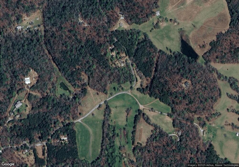
Map
Nearby Homes
- 180 Alonzo Cain Rd
- 0 Seabolt Stancil Rd Unit 23277875
- 0 Damascus Church Rd Unit 21674636
- 11161 Highway 19 N
- 133 Elkmont Dr
- 412 Fireside Ridge Dr
- 31 Pine Rd
- 0 Ts Jarrard Rd Unit Tract 3
- 129 Pine Rd
- 0 Ts Jarrard Rd Unit TRACT 3
- 748 Damascus Church Rd
- T S T S Jarrard Rd
- 2717 Damascus Church Rd
- 282 Highway 60 N
- O Porter Springs Rd
- 105 Yonah View
- 105 Ranch Mountain Ct
- 925 Horseshoe Bend Rd
- 457 Celie Ann Seabolt Rd
- 508 Alonzo Cain Rd
- 466 Alonzo Cain Rd
- 589 Alonzo Cain Rd
- 560 Alonzo Cain Rd
- 630 Alonzo Cain Rd
- 57 Primrose Ln
- 181 Primrose Ln
- 645 Alonzo Cain Rd
- 7 Alonzo Cain Rd
- 65 Primrose Ln
- 328 Empire Dr
- 117 Alonzo Cain Rd Unit 2A
- 117 Alonzo Cain Rd
- 140 Alonzo Cain Rd
- 184 Alonzo Cain Rd
- 89 Alonzo Cain Rd
- 23 Empire Dr
- 4788 Porter Springs Rd
- 3 Alonzo Cain Rd
- 175 Alonzo Cain Rd