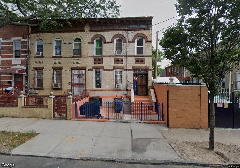
395 Ashford St Brooklyn, NY 11207
East New York NeighborhoodEstimated Value: $594,450 - $970,000
--
Bed
--
Bath
2,000
Sq Ft
$408/Sq Ft
Est. Value
About This Home
This home is located at 395 Ashford St, Brooklyn, NY 11207 and is currently estimated at $815,363, approximately $407 per square foot. 395 Ashford St is a home located in Kings County with nearby schools including P.S. 158 Warwick, J.H.S 292 Margaret S. Douglas, and Achievement First Apollo Charter School.
Ownership History
Date
Name
Owned For
Owner Type
Purchase Details
Closed on
Aug 11, 2006
Sold by
Terrell Esq Francis D and As Referee
Bought by
Better Homes Depot Inc
Current Estimated Value
Purchase Details
Closed on
Jan 17, 2000
Sold by
Camareno Jose
Bought by
Prince Cynthia M
Home Financials for this Owner
Home Financials are based on the most recent Mortgage that was taken out on this home.
Original Mortgage
$189,000
Interest Rate
8.31%
Create a Home Valuation Report for This Property
The Home Valuation Report is an in-depth analysis detailing your home's value as well as a comparison with similar homes in the area
Home Values in the Area
Average Home Value in this Area
Purchase History
| Date | Buyer | Sale Price | Title Company |
|---|---|---|---|
| Better Homes Depot Inc | $375,000 | -- | |
| Better Homes Depot Inc | $375,000 | -- | |
| Prince Cynthia M | -- | Stewart Title Insurance Co | |
| Prince Cynthia M | -- | Stewart Title Insurance Co |
Source: Public Records
Mortgage History
| Date | Status | Borrower | Loan Amount |
|---|---|---|---|
| Previous Owner | Prince Cynthia M | $189,000 |
Source: Public Records
Tax History Compared to Growth
Tax History
| Year | Tax Paid | Tax Assessment Tax Assessment Total Assessment is a certain percentage of the fair market value that is determined by local assessors to be the total taxable value of land and additions on the property. | Land | Improvement |
|---|---|---|---|---|
| 2025 | $4,579 | $40,320 | $9,120 | $31,200 |
| 2024 | $4,579 | $42,300 | $9,120 | $33,180 |
| 2023 | $4,368 | $41,100 | $9,120 | $31,980 |
| 2022 | $4,051 | $37,920 | $9,120 | $28,800 |
| 2021 | $4,029 | $35,160 | $9,120 | $26,040 |
| 2020 | $2,001 | $34,200 | $9,120 | $25,080 |
| 2019 | $3,974 | $27,180 | $9,120 | $18,060 |
| 2018 | $3,654 | $17,924 | $6,581 | $11,343 |
| 2017 | $3,447 | $16,910 | $5,010 | $11,900 |
| 2016 | $3,190 | $15,955 | $4,831 | $11,124 |
| 2015 | $1,924 | $15,938 | $7,241 | $8,697 |
| 2014 | $1,924 | $15,832 | $6,843 | $8,989 |
Source: Public Records
Map
Nearby Homes
- 374 Ashford St
- 632 Belmont Ave
- 448 Ashford St Unit 3
- 2321 Pitkin Ave
- 508 Warwick St
- 425 Barbey St
- 389 Warwick St
- 396 Barbey St
- 559 Cleveland St
- 349 Elton St
- 633 Glenmore Ave
- 295 Ashford St
- 762 Belmont Ave
- 563 Belmont Ave
- 516 Elton St
- 278 Ashford St
- 323 Barbey St
- 576 Glenmore Ave
- 758 Glenmore Ave
- 412 Hendrix St
- 393 Ashford St
- 393 Asford St
- 391 Ashford St
- 677 Belmont Ave
- 675 Belmont Ave
- 389 Ashford St
- 681 Belmont Ave
- 673 Belmont Ave
- 683 Belmont Ave
- 387 Ashford St
- 685 Belmont Ave
- 490 Cleveland St
- 488 Cleveland St
- 486 Cleveland St
- 385 Ashford St
- 689 Belmont Ave
- 482 Cleveland St
- 480 Cleveland St
- 381 Ashford St
- 695 Belmont Ave