395 Briar Branch Rd Townsend, TN 37882
Estimated Value: $77,453 - $506,000
About This Home
This home is located at 395 Briar Branch Rd, Townsend, TN 37882 and is currently estimated at $257,818. 395 Briar Branch Rd is a home with nearby schools including Townsend Elementary School, Heritage Middle School, and Heritage High School.
Ownership History
We collect this data history from publicly available records. To have your information removed, we recommend requesting removal directly through your county’s website.
Purchase Details
Purchase Details
Purchase Details
Purchase Details
Purchase Details
Purchase Details
Purchase Details
Home Values in the Area
Average Home Value in this Area
Purchase History
We collect this data history from publicly available records. To have your information removed, we recommend requesting removal directly through your county’s website.
| Date | Buyer | Sale Price | Title Company |
|---|---|---|---|
| -- | -- | ||
| -- | -- | ||
| -- | -- | ||
| -- | -- | ||
| -- | -- | ||
| $5,000 | -- | ||
| $10,500 | -- | ||
| -- | -- |
Tax History
We collect this data history from publicly available records. To have your information removed, we recommend requesting removal directly through your county’s website.
| Year | Tax Paid | Tax Assessment Tax Assessment Total Assessment is a certain percentage of the fair market value that is determined by local assessors to be the total taxable value of land and additions on the property. | Land | Improvement |
|---|---|---|---|---|
| 2025 | $133 | $8,375 | $7,500 | $875 |
| 2024 | $133 | $8,375 | $7,500 | $875 |
| 2023 | $133 | $8,375 | $7,500 | $875 |
| 2022 | $145 | $5,875 | $5,000 | $875 |
| 2021 | $145 | $5,875 | $5,000 | $875 |
| 2020 | $145 | $5,875 | $5,000 | $875 |
| 2019 | $145 | $5,875 | $5,000 | $875 |
| 2018 | $145 | $5,850 | $4,975 | $875 |
| 2017 | $145 | $5,850 | $4,975 | $875 |
| 2016 | $145 | $5,850 | $4,975 | $875 |
| 2015 | $126 | $5,850 | $4,975 | $875 |
| 2014 | $189 | $5,850 | $4,975 | $875 |
| 2013 | $189 | $8,800 | $0 | $0 |
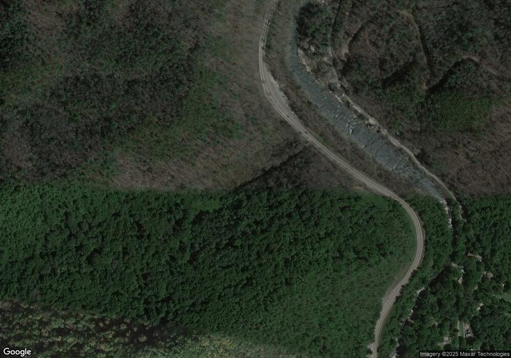
Map
- 716 Tanasi Trail
- 724 Tanasi Trail
- 231 Low Gap Trail
- 544 Nathans Nook Rd
- 407 Kurts Corner Rd
- 0 Ace Gap Rd Unit 1325220
- 218 Ace Gap Rd
- 832 Christy Ln
- 165 Anatole Pass
- 483 Chetola Trail
- 822 Christy Ln
- 491 Chetola Trail
- 1005 Laurel Rd
- 236 Tolliver Trail
- 228 Tolliver Trail
- 207 Cutter Gap Rd
- 438 Kurts Corner Rd
- 210 Cutter Gap Rd
- 129 Cutter Gap Rd
- 126 Cutter Gap Rd
- 452 & 454 Mt John Loop Rd
- 452 Mt John Luke Rd
- 452 & 454 Mt John Loop
- 127 Sunshine Way
- 454 Mt John Luke Rd
- 458 Mount John Loop
- 424 Mount John Loop
- 424 Mountain John Loop
- 450 Mount John Loop
- 456 Mount John Loop
- 456 Mountain John Loop
- 444 Mount John Loop
- 456 Mount John Loop
- 460 Mountain John Loop
- 460 Mount John Loop
- 121 Sunshine Way
- 121 Sunshine Way
- 462 Mount John Loop
- 462 Mountain John Loop
- 462 Mount John Loop
Ask me questions while you tour the home.