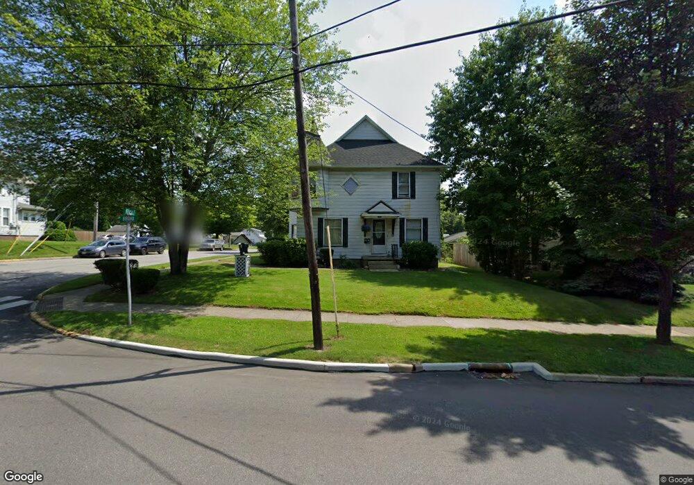
395 Broad St Wadsworth, OH 44281
Estimated Value: $230,000 - $251,000
2
Beds
3
Baths
2,141
Sq Ft
$113/Sq Ft
Est. Value
About This Home
This home is located at 395 Broad St, Wadsworth, OH 44281 and is currently estimated at $242,484, approximately $113 per square foot. 395 Broad St is a home located in Medina County with nearby schools including Overlook Elementary School, Central Intermediate School, and Wadsworth Middle School.
Ownership History
Date
Name
Owned For
Owner Type
Purchase Details
Closed on
Feb 22, 2008
Sold by
Big Sky Inc
Bought by
Maki Lydia M and Homonai John S
Current Estimated Value
Home Financials for this Owner
Home Financials are based on the most recent Mortgage that was taken out on this home.
Original Mortgage
$138,500
Outstanding Balance
$84,817
Interest Rate
5.51%
Mortgage Type
Unknown
Estimated Equity
$157,667
Create a Home Valuation Report for This Property
The Home Valuation Report is an in-depth analysis detailing your home's value as well as a comparison with similar homes in the area
Home Values in the Area
Average Home Value in this Area
Purchase History
| Date | Buyer | Sale Price | Title Company |
|---|---|---|---|
| Maki Lydia M | $140,000 | -- |
Source: Public Records
Mortgage History
| Date | Status | Borrower | Loan Amount |
|---|---|---|---|
| Open | Maki Lydia M | $138,500 |
Source: Public Records
Tax History Compared to Growth
Tax History
| Year | Tax Paid | Tax Assessment Tax Assessment Total Assessment is a certain percentage of the fair market value that is determined by local assessors to be the total taxable value of land and additions on the property. | Land | Improvement |
|---|---|---|---|---|
| 2024 | $2,683 | $60,370 | $14,000 | $46,370 |
| 2023 | $2,683 | $60,370 | $14,000 | $46,370 |
| 2022 | $2,687 | $60,370 | $14,000 | $46,370 |
| 2021 | $2,543 | $48,300 | $11,200 | $37,100 |
| 2020 | $2,246 | $48,300 | $11,200 | $37,100 |
| 2019 | $2,249 | $48,300 | $11,200 | $37,100 |
| 2018 | $2,334 | $44,870 | $11,500 | $33,370 |
| 2017 | $2,335 | $44,870 | $11,500 | $33,370 |
| 2016 | $2,372 | $44,870 | $11,500 | $33,370 |
| 2015 | $2,324 | $41,160 | $10,550 | $30,610 |
| 2014 | $2,361 | $41,160 | $10,550 | $30,610 |
| 2013 | $2,257 | $41,160 | $10,550 | $30,610 |
Source: Public Records
Map
Nearby Homes
- 493 Broad St Unit 495
- 178 Fairlawn Ave
- 141 Humbolt Ave
- 273 E Boyer St
- 119 Park St
- 264 Windfall Ln
- 269 Water St
- 0 Greenwich Rd
- 301 S Lyman St
- 201 Water St
- 118 E Prospect St
- 268 E Walnut St
- 235 High St
- 411 Treeview Dr
- 352 N Lyman St
- 253 E Bergey St
- 225 E Bergey St
- 440 Dohner Dr
- 140 W North St
- 499 Main St