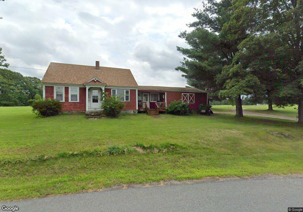
395 Burnt Swamp Rd Wrentham, MA 02093
West Wrentham NeighborhoodEstimated Value: $542,000 - $756,966
2
Beds
1
Bath
1,019
Sq Ft
$626/Sq Ft
Est. Value
About This Home
This home is located at 395 Burnt Swamp Rd, Wrentham, MA 02093 and is currently estimated at $638,322, approximately $626 per square foot. 395 Burnt Swamp Rd is a home located in Norfolk County with nearby schools including Delaney Elementary School, Charles E Roderick, and Mercymount Country Day School.
Create a Home Valuation Report for This Property
The Home Valuation Report is an in-depth analysis detailing your home's value as well as a comparison with similar homes in the area
Home Values in the Area
Average Home Value in this Area
Tax History Compared to Growth
Tax History
| Year | Tax Paid | Tax Assessment Tax Assessment Total Assessment is a certain percentage of the fair market value that is determined by local assessors to be the total taxable value of land and additions on the property. | Land | Improvement |
|---|---|---|---|---|
| 2025 | -- | $573,360 | $366,660 | $206,700 |
| 2024 | -- | $541,060 | $366,660 | $174,400 |
| 2023 | $0 | $498,260 | $334,260 | $164,000 |
| 2022 | $0 | $393,960 | $259,860 | $134,100 |
| 2021 | $0 | $403,760 | $271,760 | $132,000 |
| 2020 | $5,576 | $385,660 | $246,260 | $139,400 |
| 2019 | $0 | $381,160 | $246,260 | $134,900 |
| 2018 | $0 | $345,390 | $244,290 | $101,100 |
| 2017 | $0 | $331,130 | $0 | $0 |
| 2016 | -- | $317,550 | $0 | $0 |
| 2015 | $4,469 | $298,350 | $0 | $0 |
| 2014 | $4,398 | $287,270 | $0 | $0 |
Source: Public Records
Map
Nearby Homes
- 420 Burnt Swamp Rd
- 400 Burnt Swamp Rd
- 525 Burnt Swamp Rd
- 171 Burnt Swamp Rd
- 340 Burnt Swamp Rd
- 174 Burnt Swamp Rd
- 167 Burnt Swamp Rd
- 163 Burnt Swamp Rd
- 168 Burnt Swamp Rd
- 161 Burnt Swamp Rd
- 0 Burnt Swamp Rd
- 464 Hancock St
- 157 Burnt Swamp Rd
- 155 Burnt Swamp Rd
- 225 Ellery St
- 386 Hancock St
- 560 Hancock St
- 508 Hancock St
- 508 Hancock St
- 508 Hancock St Unit A