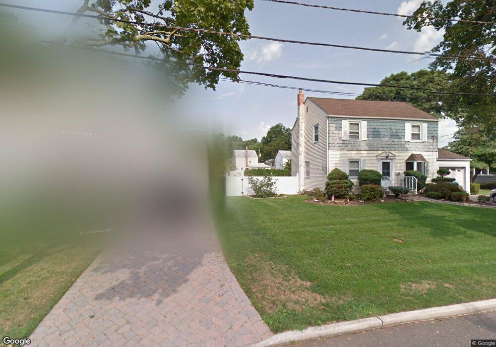
395 Chestnut St Paramus, NJ 07652
Estimated Value: $984,000 - $1,595,000
3
Beds
4
Baths
2,736
Sq Ft
$512/Sq Ft
Est. Value
About This Home
This home is located at 395 Chestnut St, Paramus, NJ 07652 and is currently estimated at $1,402,121, approximately $512 per square foot. 395 Chestnut St is a home located in Bergen County with nearby schools including Paramus High School, David Gregory School, and St. Peter Academy.
Ownership History
Date
Name
Owned For
Owner Type
Purchase Details
Closed on
Jun 10, 2016
Sold by
Vuolo Julia
Bought by
Field Adrian
Current Estimated Value
Create a Home Valuation Report for This Property
The Home Valuation Report is an in-depth analysis detailing your home's value as well as a comparison with similar homes in the area
Home Values in the Area
Average Home Value in this Area
Purchase History
| Date | Buyer | Sale Price | Title Company |
|---|---|---|---|
| Field Adrian | $420,000 | Wfg National Title Insurance |
Source: Public Records
Tax History
| Year | Tax Paid | Tax Assessment Tax Assessment Total Assessment is a certain percentage of the fair market value that is determined by local assessors to be the total taxable value of land and additions on the property. | Land | Improvement |
|---|---|---|---|---|
| 2025 | $18,059 | $1,263,500 | $333,800 | $929,700 |
| 2024 | $17,593 | $1,192,800 | $307,600 | $885,200 |
| 2023 | $16,822 | $1,146,900 | $293,200 | $853,700 |
| 2022 | $16,822 | $1,083,900 | $275,500 | $808,400 |
| 2021 | $16,303 | $985,700 | $241,800 | $743,900 |
| 2020 | $15,481 | $970,600 | $236,800 | $733,800 |
| 2019 | $13,914 | $749,700 | $223,300 | $526,400 |
| 2018 | $5,915 | $322,700 | $223,300 | $99,400 |
| 2017 | $5,812 | $322,700 | $223,300 | $99,400 |
| 2016 | $5,412 | $308,900 | $223,300 | $85,600 |
| 2015 | $5,356 | $308,900 | $223,300 | $85,600 |
| 2014 | $5,310 | $308,900 | $223,300 | $85,600 |
Source: Public Records
Map
Nearby Homes
- 393 Chestnut St
- 397 Chestnut St
- 394 Terhune Ave
- 399 Chestnut St
- 392 Terhune Ave
- 396 Terhune Ave
- 390 Chestnut St
- 391 Chestnut St
- 392 Chestnut St
- 398 Terhune Ave
- 401 Chestnut St
- 390 Terhune Ave
- 386 Chestnut St
- 388 Chestnut St
- 400 Terhune Ave
- 394 Chestnut St
- 403 Chestnut St
- 396 Chestnut St
- 387 Terhune Ave
- 391 Terhune Ave
Your Personal Tour Guide
Ask me questions while you tour the home.