Estimated Value: $239,000 - $253,456
3
Beds
2
Baths
1,617
Sq Ft
$153/Sq Ft
Est. Value
About This Home
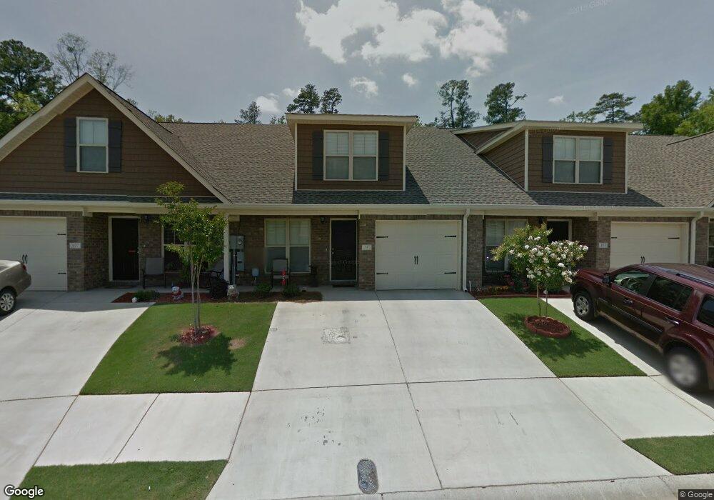
This home is located at 395 Connor Cir, Evans, GA 30809 and is currently estimated at $246,614, approximately $152 per square foot. 395 Connor Cir is a home with nearby schools including Northmore Elementary School, South Columbia Elementary School, and John F. Kennedy Middle School.
Ownership History
Date
Name
Owned For
Owner Type
Purchase Details
Closed on
Dec 27, 2012
Sold by
Bro Con Rental Co Inc
Bought by
Banks Matthew Jeffrey
Current Estimated Value
Home Financials for this Owner
Home Financials are based on the most recent Mortgage that was taken out on this home.
Original Mortgage
$108,000
Outstanding Balance
$74,791
Interest Rate
3.36%
Mortgage Type
New Conventional
Estimated Equity
$171,823
Purchase Details
Closed on
Feb 3, 2011
Sold by
Bro Con Development Inc
Bought by
Rt Bailey Construction Inc
Create a Home Valuation Report for This Property
The Home Valuation Report is an in-depth analysis detailing your home's value as well as a comparison with similar homes in the area
Home Values in the Area
Average Home Value in this Area
Purchase History
| Date | Buyer | Sale Price | Title Company |
|---|---|---|---|
| Banks Matthew Jeffrey | $120,000 | -- | |
| Rt Bailey Construction Inc | $140,000 | -- |
Source: Public Records
Mortgage History
| Date | Status | Borrower | Loan Amount |
|---|---|---|---|
| Open | Banks Matthew Jeffrey | $108,000 |
Source: Public Records
Tax History Compared to Growth
Tax History
| Year | Tax Paid | Tax Assessment Tax Assessment Total Assessment is a certain percentage of the fair market value that is determined by local assessors to be the total taxable value of land and additions on the property. | Land | Improvement |
|---|---|---|---|---|
| 2025 | $2,256 | $94,645 | $17,704 | $76,941 |
| 2024 | $2,300 | $92,114 | $16,704 | $75,410 |
| 2023 | $2,300 | $82,735 | $16,704 | $66,031 |
| 2022 | $1,844 | $71,026 | $14,604 | $56,422 |
| 2021 | $1,795 | $66,056 | $13,004 | $53,052 |
| 2020 | $1,737 | $62,606 | $12,304 | $50,302 |
| 2019 | $1,684 | $60,700 | $11,204 | $49,496 |
| 2018 | $1,609 | $57,784 | $11,404 | $46,380 |
| 2017 | $1,591 | $56,954 | $10,904 | $46,050 |
| 2016 | $1,534 | $56,939 | $9,780 | $47,159 |
| 2015 | $1,479 | $54,798 | $9,680 | $45,118 |
| 2014 | $1,448 | $52,991 | $10,380 | $42,611 |
Source: Public Records
Map
Nearby Homes
- 386 Connor Cir
- 367 Connor Cir
- 317 Connor Cir
- 323 Connor Cir
- 5537 Connor Dr
- 5553 Connor Dr
- 155 Canton Park Ave
- 1 Bohler Ave
- 333 Sumac Trail
- 358 Sumac Trail
- 368 Sumac Trail
- 4157 Arlington Rd
- 352 Mears St
- 435 Evans Mill Dr
- 530 Adams Mill Ln
- 4070 Riverwatch Pkwy
- 4069 Riverwatch Pkwy
- 4209 Fairfield Cir
- 418 Santa Anna Trail
- 0 Mc Cormick Rd
- 393 Connor Cir
- 397 Connor Cir
- 391 Connor Cir
- 389 Connor Cir
- 387 Connor Cir Unit 1
- 387 Connor Cir
- 394 Connor Cir
- 392 Connor Cir
- 390 Connor Cir
- 385 Connor Cir Unit 1
- 388 Connor Cir
- 383 Connor Cir Unit 1
- 381 Connor Cir
- 381 Connor Cir
- 382 Connor Cir
- 306 Connor Cir
- 379 Connor Cir
- 308 Connor Cir
- 5509 Connor Dr
- 380 Connor Cir