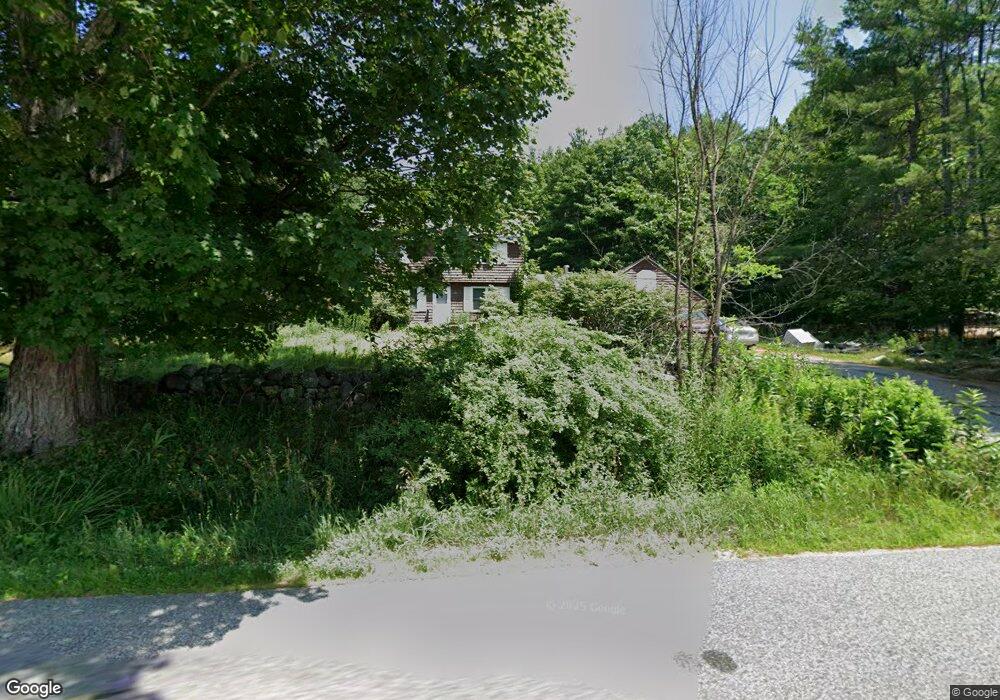
395 Crockett Ridge Rd Norway, ME 04268
Estimated Value: $378,488 - $422,000
4
Beds
2
Baths
1,662
Sq Ft
$237/Sq Ft
Est. Value
About This Home
This home is located at 395 Crockett Ridge Rd, Norway, ME 04268 and is currently estimated at $393,372, approximately $236 per square foot. 395 Crockett Ridge Rd is a home located in Oxford County with nearby schools including Guy E. Rowe School, Oxford Hills Middle School, and Oxford Hills Comprehensive High School.
Ownership History
Date
Name
Owned For
Owner Type
Purchase Details
Closed on
Nov 10, 2015
Sold by
Community Concepts Inc
Bought by
Paradis Christine M
Current Estimated Value
Home Financials for this Owner
Home Financials are based on the most recent Mortgage that was taken out on this home.
Original Mortgage
$159,000
Interest Rate
3.88%
Mortgage Type
Unknown
Create a Home Valuation Report for This Property
The Home Valuation Report is an in-depth analysis detailing your home's value as well as a comparison with similar homes in the area
Home Values in the Area
Average Home Value in this Area
Purchase History
| Date | Buyer | Sale Price | Title Company |
|---|---|---|---|
| Paradis Christine M | -- | -- |
Source: Public Records
Mortgage History
| Date | Status | Borrower | Loan Amount |
|---|---|---|---|
| Closed | Paradis Christine M | $159,000 |
Source: Public Records
Tax History Compared to Growth
Tax History
| Year | Tax Paid | Tax Assessment Tax Assessment Total Assessment is a certain percentage of the fair market value that is determined by local assessors to be the total taxable value of land and additions on the property. | Land | Improvement |
|---|---|---|---|---|
| 2024 | $3,831 | $214,957 | $36,549 | $178,408 |
| 2023 | $3,159 | $214,900 | $36,500 | $178,400 |
| 2022 | $3,030 | $214,900 | $36,500 | $178,400 |
| 2021 | $3,179 | $182,200 | $33,200 | $149,000 |
| 2020 | $3,198 | $182,200 | $33,200 | $149,000 |
| 2019 | $3,198 | $182,200 | $33,200 | $149,000 |
| 2018 | $3,134 | $182,200 | $33,200 | $149,000 |
| 2017 | $3,134 | $182,200 | $33,200 | $149,000 |
| 2015 | $2,897 | $182,200 | $33,200 | $149,000 |
| 2013 | $2,678 | $182,200 | $33,200 | $149,000 |
Source: Public Records
Map
Nearby Homes
- 24 Chickadee Way
- 277 Crockett Ridge Rd
- Map6Lot55 Sandy Shore Ln
- 152 Ralph Richardson Rd
- 206 Ralph Richardson Rd
- 49-51 Pleasant St
- 21 Wood Duck Way
- 25 Lydia Ln
- 19 Lydia Ln
- 49 Penn Rd
- 186 Elm Hill Rd
- 96 Durgin Rd
- 59 Bobcat Way
- 133 Lake Rd
- 87 Ashton Rd
- 23 Mefford Ln
- 14 Hayden Ave
- 6 Michael Dr
- 2 Cobble Hill Rd
- 14 Maple St
- 403 Crockett Ridge Rd
- 396 Crockett Ridge Rd
- 388 Crockett Ridge Rd
- 391 Crockett Ridge Rd
- 406 Crockett Ridge Rd
- 407 Crockett Ridge Rd
- 410 Crockett Ridge Rd
- 421 Crockett Ridge Rd
- TBD Crockett Ridge Rd
- 415 Crockett Ridge Rd
- 420 Crockett Ridge Rd
- 361 Crockett Ridge Rd
- 349 Crockett Ridge Rd
- 430 Crockett Ridge Rd
- 24 Dove Way
- 358 Crockett Ridge Rd
- 22 Dove Way
- 439 Crockett Ridge Rd
- 456 Crockett Ridge Rd
- 440 Crockett Ridge Rd Unit 1